Description
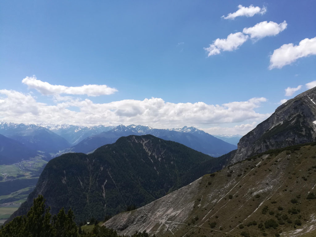
Our Nordkette loop in the Karwendel range starts in Innsbruck in the district of Hötting. On a steep trail you will hike up to Achselkopf and pass the Achselkopf Alm. Here you can either take the Durrachsteig (not suggested for people with vertigo) or ascend another 300m in altitude and then cross at the Kuppensteig. From there you will start the descent to Aspachhütte and go down switch backs to Rauschbrunnen (ideal for a break). From there it is another 2 kilometers to reach the end of the loop. While the lower parts of the loop can be a bit busy on weekends, you won’t see a lot of people further up.
What to bring
Tips
- Watch out for chamois that are frequently spotted in this area (we frequently see one at Rauschbrunnen around ~6-7am, in summer look out for them near the higher parts of the loop)
- You can park near the starting point on the street (day ticket ~7 EUR), alternatively you can take the H bus from the city center (check VVT) or walk (~40min)
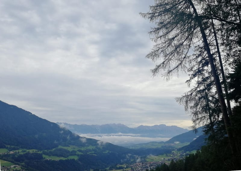
- Rauschbrunnen towards the end is one of the closest alpine huts to Innsbruck with good views into the Inn valley
- Berchtoldshof near the start/ end of the loop has good local food and a nice garden (in spring/ autumn, there are horses nearby)