



Description
Waterton Lakes National Park sits in the southwest corner of Alberta, where the Canadian Rockies meet the prairie. The park is small but rugged, and the Crandell Lake route combines a road ride on a parkway closed to cars with a mountain bike trail that climbs around the flanks of Mount Crandell to a small alpine lake.
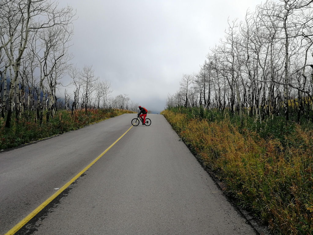
The ride begins on Highway 5 from the Waterton townsite. The first 4.8 km follow the highway before turning onto Red Rock Parkway. The parkway is a paved scenic road that runs roughly 15 km along the Blakiston Creek valley toward Red Rock Canyon. For portions of the season, the parkway is closed to private vehicles, which makes it a quiet ride with little traffic. Check current road status before heading out, since closures vary by year and by ongoing recovery work from the 2017 Kenow wildfire.
The trail to Crandell Lake starts near the Crandell Mountain Campground, off the Red Rock Parkway at roughly the 13 km mark. The trail climbs through forest to Crandell Lake, a small lake set in a basin below Mount Crandell. Some sections are rocky and steep, but the total distance to the lake is short, around 4 km round trip from the trailhead with about 150 m of elevation gain. For the full bike-and-hike route described here, the total distance comes to roughly 25 km with a bit over 500 m of climbing.
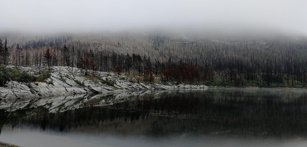
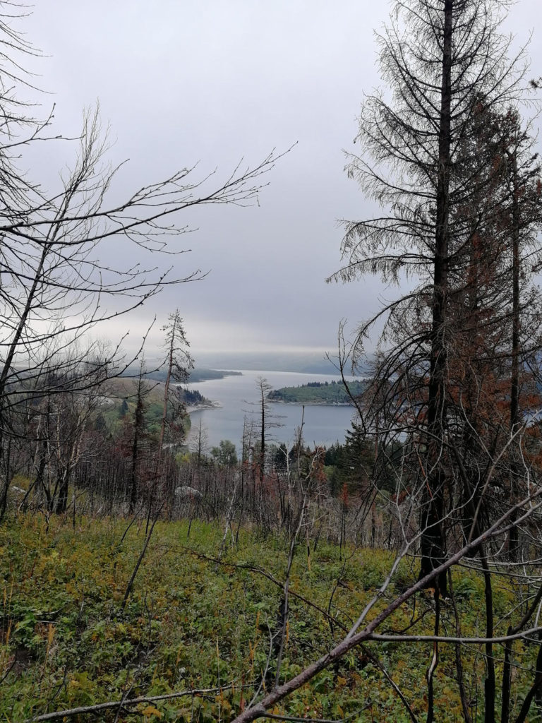
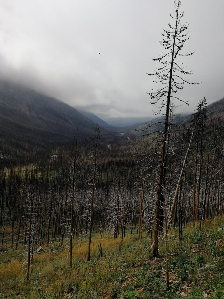
In September 2017, the Kenow Wildfire burned over 19,000 hectares, about 39 percent of the park. The Red Rock Parkway, along with associated bridges, guardrails, signs, and parking areas, was damaged in the fire. The recovery is ongoing, and you can still see the remnants of the burn along the route. Blackened tree trunks stand among dense new growth of lodgepole pine, fireweed, and grasses. Wildlife has returned as well. Deer, bears, and bird species have moved back into the recovering forest. This regrowth is a notable part of riding the route, since the fire scars and the new growth are visible side by side along much of the parkway and trail.
You will also pass several lakes, including Lake Crandell, which is a good spot for a break. The lake sits in a forested bowl with Mount Crandell rising above.
A park pass is required for entry. The Crandell Lake backcountry campground was closed for an extended period after the fire. Check the Parks Canada website for current status before planning an overnight stay.
The best season is June through September, weather permitting. The Red Rock Parkway typically opens in late spring once snow clears and recovery work allows. Wildflowers are at their peak in July.
Waterton Lakes National Park is part of the Waterton-Glacier International Peace Park, a UNESCO World Heritage Site that spans the border with Glacier National Park in Montana. The two parks share ecosystems and wildlife, and the Crown of the Continent region is one of the most biologically diverse areas in the Rockies. The transition from prairie to mountain is abrupt here, which draws a mix of wildlife, including bighorn sheep, elk, and both black and grizzly bears. Bird life is notable as well, since the park sits on a migration corridor.
Red Rock Canyon, at the end of the Red Rock Parkway, is a popular stop with a short interpretive trail and a creek that runs over bright red argillite bedrock. If you are riding the full parkway out and back, the canyon is a natural turnaround point and a good place to stretch and refill water before the return ride. The canyon has a small parking area and washrooms.
The wind in Waterton is a real factor on a bike. The park sits where mountain winds funnel out of the high country onto the prairie, and gusts of 50 km/h or more are common even on clear days. Plan for a headwind on the way back if the wind picks up in the afternoon.
What to bring
- Bike and Hike essentials
- Bear spray
Tips
- You can also hike this trail. The trailhead is at the Crandell Mountain Campground off the Red Rock Parkway.
- The backcountry campground at Crandell lake is closed until ~2022. Make sure to check for current status before planning an overnight.
- Wind is a constant in Waterton. The park sits at the intersection of mountain and prairie weather systems, and strong winds are common even in summer. Plan for it.
- Carry enough water for the full ride. There are no reliable water sources along the Red Rock Parkway once you leave the townsite.
- The Red Rock Parkway closure status changes year to year based on fire recovery work. Verify before you go.
Links
- Official information of Waterton Lakes National Park
- Before/ after pictures of the wildfire damage - CBC
Downloads
Crandell-Lake-Trail_smDownload