



Description
The Avalanche Crest Trail is a steep day hike in Glacier National Park, British Columbia, in the Selkirk Range of the Columbia Mountains. The park sits along the Trans Canada Highway in Rogers Pass, roughly halfway between Revelstoke and Golden. The trail climbs through dense temperate forest to alpine meadows and rocky avalanche terrain on the crest above the Illecillewaet Valley.
The trailhead is at the Illecillewaet Campground, about 3 km west of the Rogers Pass summit. The campground serves as the starting point for several trails in this part of the park, including the Glacier Crest Trail, the Asulkan Valley Trail, and the Avalanche Crest Trail. A small welcome kiosk and outhouses are located at the trailhead. A park pass is required for entry, and the same pass works across the Rocky Mountain national parks in Canada.
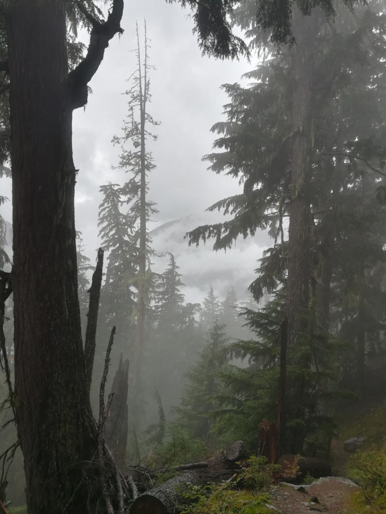
From the campground, the trail enters old growth cedar and hemlock forest on an old railway grade for the first stretch. It then begins a sustained climb through thick forest on a natural dirt path. The grade is unrelenting, and most of the nearly 970 m of elevation gain comes in a relatively short distance. The trail is rated difficult primarily because of the steepness, not technical exposure. There is no scrambling required if you stay on the path.
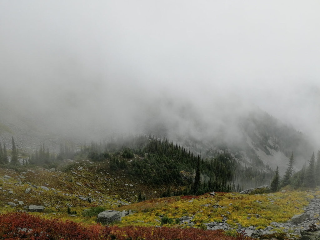
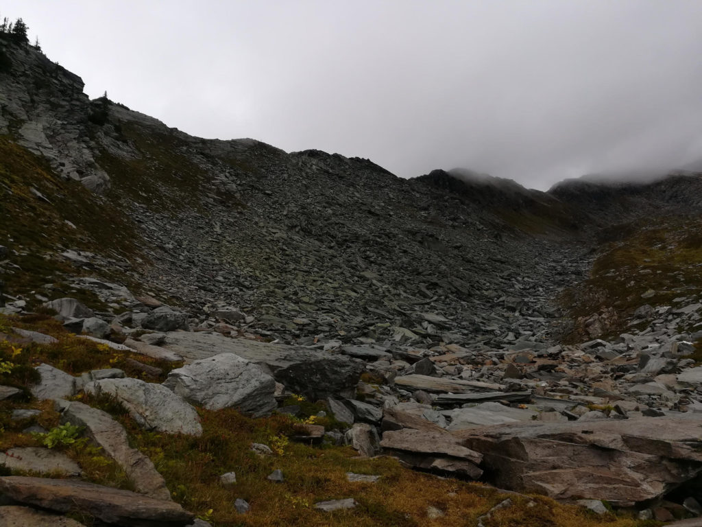
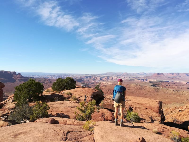
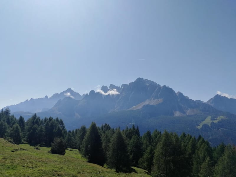
As you climb above treeline, the forest opens into alpine meadows and then into rocky terrain shaped by avalanches that sweep down the slopes each spring. The crest itself is a broad ridge of broken rock with wide views across the Illecillewaet Valley. On a clear day you can see the route of the Canadian Pacific Railway far below, as well as surrounding peaks and glaciers. Mount Sir Donald, the tallest summit along the Trans Canada Highway at 3,284 m, dominates the views to the north.
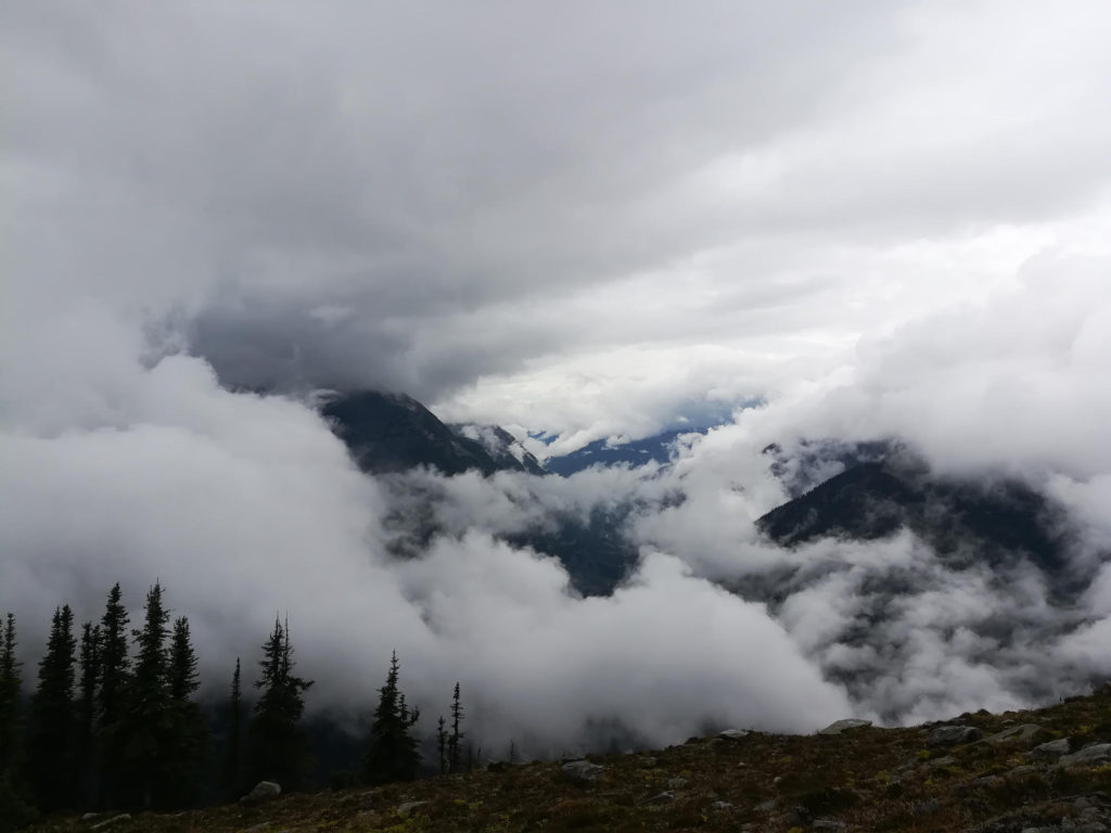
The weather in Rogers Pass can change quickly, and the upper portion of the trail is exposed. Fog and low cloud can roll in fast, reducing visibility to a few meters and making navigation difficult. When we hiked, the upper section was buried in cloud, which is common even in midsummer. Check the Parks Canada trail conditions page before heading out.
Grizzly bears are active throughout the park, and bear warnings are posted most summers on the trails around the Illecillewaet Campground. The campground posts recent sightings on a chalk board at the entrance. There is no reliable water source above the lower forest section, so carry enough for the full hike.
The trail is usually snow-free from late July through September, though snow patches can linger on the upper sections into August in heavy snow years.
Rogers Pass, where the park is located, is a National Historic Site of Canada. The pass was the route chosen for the Canadian Pacific Railway in the 1880s, and the stone pillars and old grades visible from the trail are remnants of that early construction. The railway was later moved underground through the Connaught Tunnel, completed in 1916, to avoid the avalanche risk that plagued the surface route. The Rogers Pass Discovery Centre, located at the summit on Highway 1, has exhibits on the history of the pass and current avalanche control work, and is worth a stop on the drive in.
The Illecillewaet Campground has basic sites with picnic tables, fire pits where fires are permitted, and food lockers for bear safety. It is a convenient place to stay if you want to hike multiple trails in the area, since the Asulkan Valley Trail, the Great Glacier Trail, and the meeting point for the Avalanche Crest and Glacier Crest routes all start from here. The campground operates on a first-come, first-served basis in summer.
What to bring
- Bike and Hike essentials
- Bear spray
- Be prepared for unpredictable weather
Tips
- Watch for marmots that live in the avalanche crest. Even in very cloudy weather you can recognize them by their whistling.
- The campground at the trailhead has a chalk board showing recent bear sightings. During our visit, bears were spotted daily on several trails, and we saw plenty of scat along the way. Make noise, stick to groups of four or more, carry bear spray, and familiarize yourself with bear encounter protocols. Visibility drops in fog, which makes surprise encounters more likely.
- Go only in clear weather if you want the views from the crest. The upper section is exposed and useless in cloud.
- There is no water above the lower forest. Carry at least 2 liters per person, more in warm weather.
- Glacier National Park is on Pacific Time, one hour behind Mountain Time. This catches people out when driving from Banff or Lake Louise.
Links
Downloads
Avalanche-Crest-Trail_smDownload