



 Duration
Description
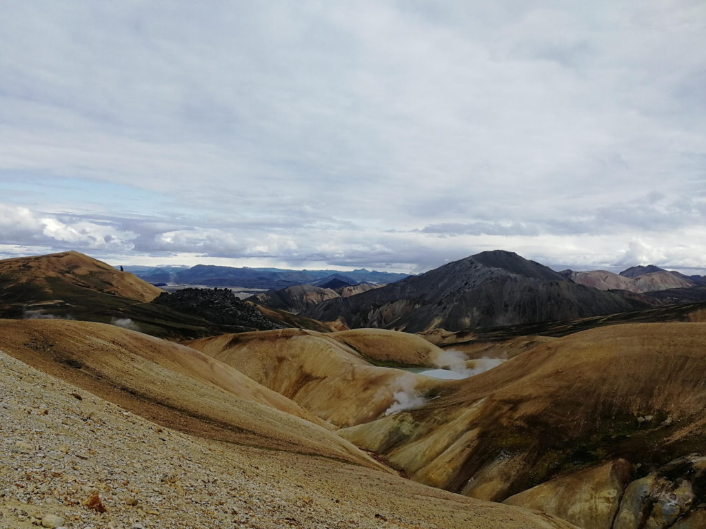
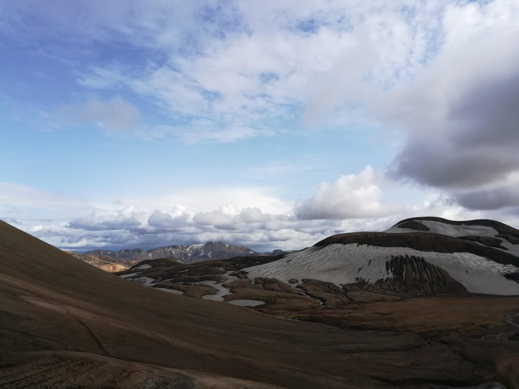
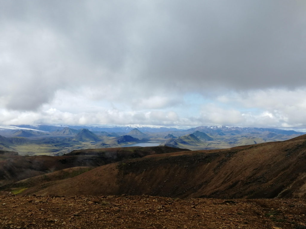
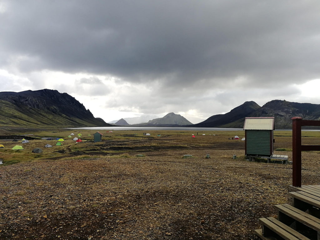
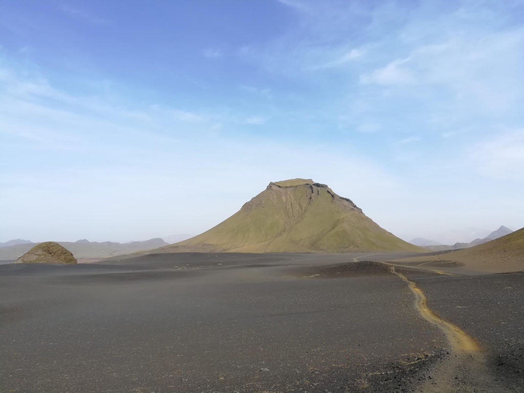
The hiking trail between Landmannalaugar and Þórsmörk is one of the most popular multi-day hiking trails in Iceland and is regularly listed as one of the most beautiful trails in the world. The main draw are the volcanic desert-like moonscapes, colorful rhyolite mountains and black obsidian lava. The trail is typically done in 4 days, spending the nights in huts or at campgrounds in between. While you’ll regularly bump into other people due to the trail’s popularity, we found the number of people still pretty bearable.
What to bring
Tips
- There are several tour companies that offer daily bus rides to Landmannalaugar from Skogar, Hella and Reykjavik. Have your camera ready for the bus river crossings that are quite an adventure!
- There are several river crossings on the hike. Bring river crossing shoes/ sandals and be prepared to take off your trousers to cross - it can get pretty deep! Crossing a river can be dangerous - do not cross if the water is brown and faster than walking speed, more than knee deep, or you can hear rolling rocks. For more information, see here or this video.
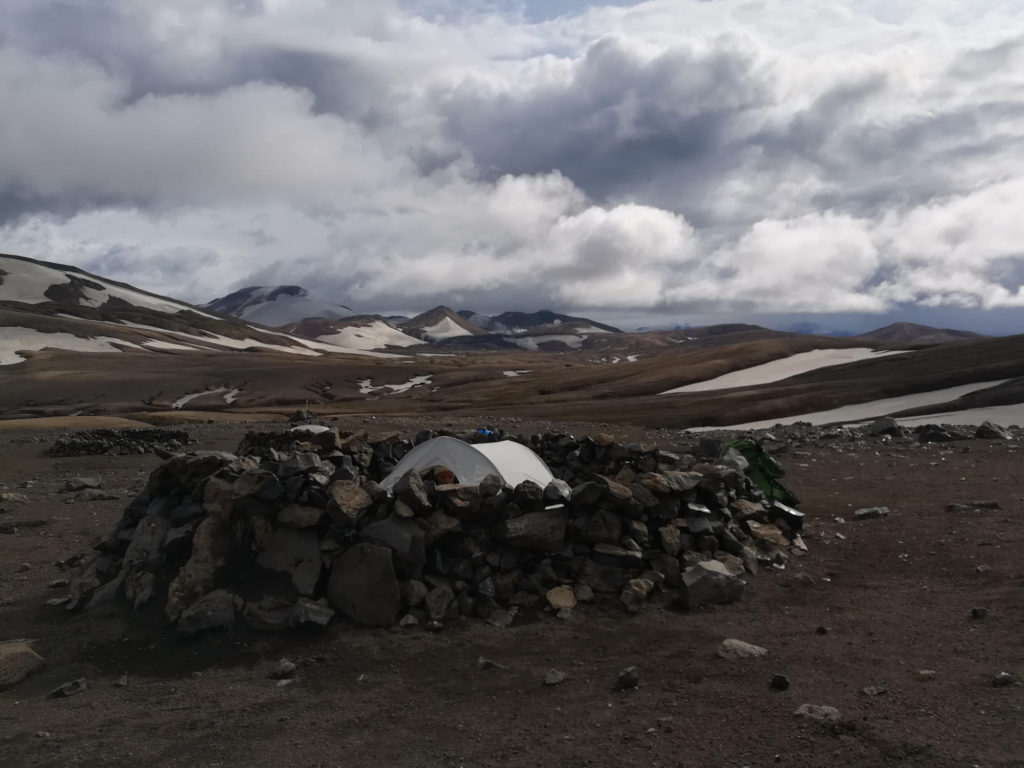
- The weather can be quite unpredictable. Prepare for wind, low temperatures and snow. Check the weather and wind forecast before starting your hike. Up to date weather information can be obtained each day by the wardens at the campgrounds.
- If you want to extend the hike to 5 or 6 days you can continue from Þórsmörk to Skogafoss on the Fimmvörðuháls Trail. We decided not to continue due to vertigo issues (some parts of the trail seem to be exposed).