



 Duration
Description
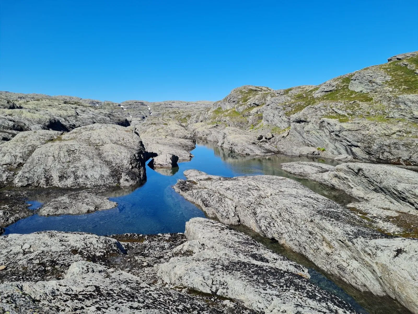
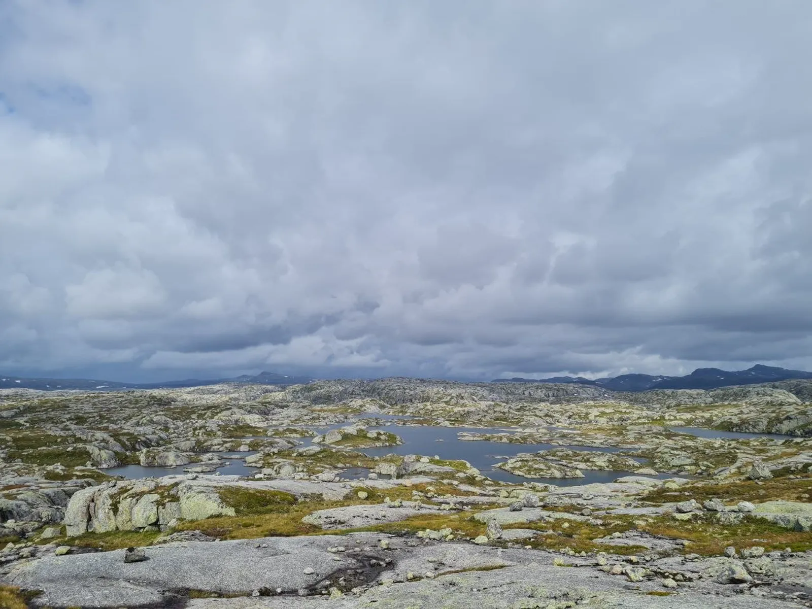
An 8-day traverse of the Ryfylkeheiane mountains in southern Norway, following the DNT SignaTUR RYGER route from Haukeliseter south toward the Lysefjord. The route covers 140.5 km with 4,549 m of ascent, crossing high mountain plateaus, birch valleys, and wetland terrain. Overnights are in self-service DNT cabins along the route.
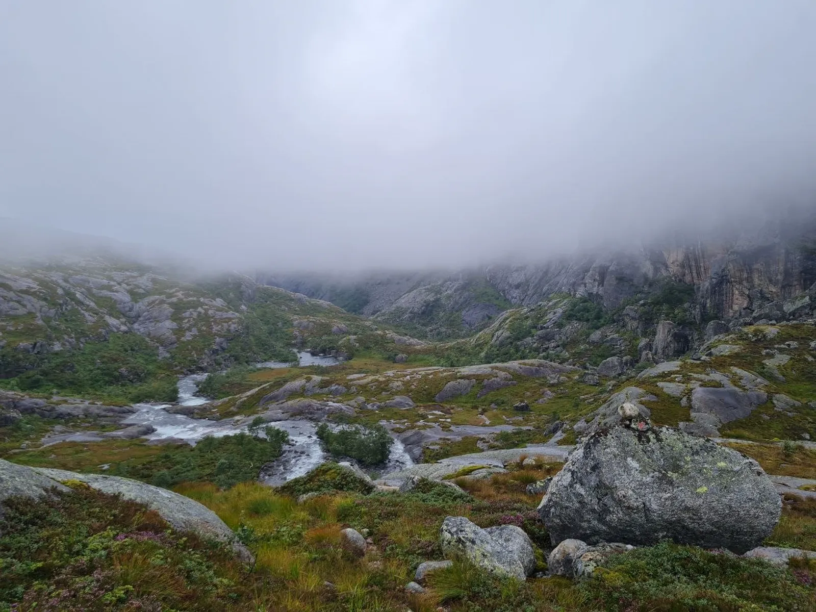
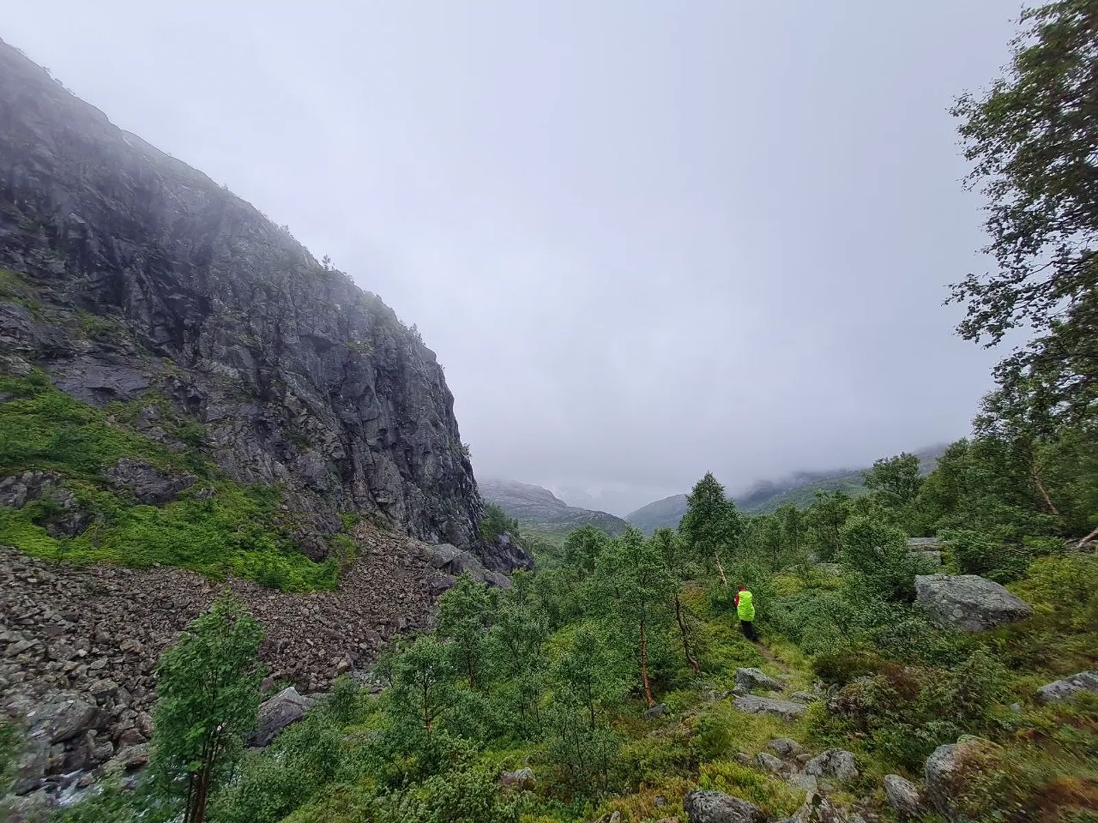
We chose this route spontaneously during a major storm that was hitting Scandinavia in August 2023. The original plan was a different traverse, but the SignaTUR RYGER was accessible from Oslo by bus and only in the outer edges of the storm system. Even so, rain accompanied us on most days, and the wet terrain, swollen streams, and low visibility made for a challenging crossing.
The route is part of the DNT SignaTUR network, officially 215 km from Haukeliseter to Kvitlen in 17 stages. We compressed those stages into 8 hiking days. We had originally planned to continue further south but had enough after 8 days and ended the traverse with a boat trip from the Lysefjord.
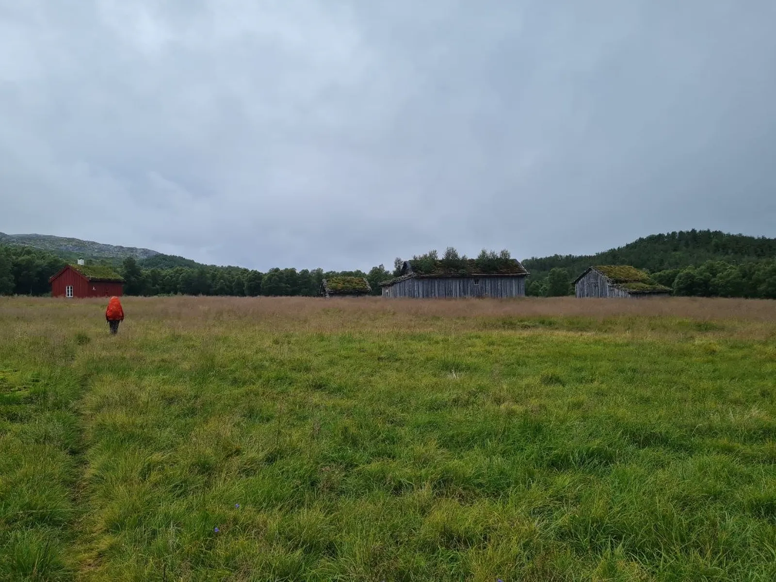
The bad weather kept other hikers away. We went several days without seeing anyone, and the DNT cabins and mountain plateaus felt genuinely remote. From one of the cabins we spotted three elk in the distance, the only large mammals we saw apart from a reindeer herd right at the start of Day 1. The self-service cabins worked flawlessly throughout: a warm, dry place to wait out the rain and cook a hot meal.
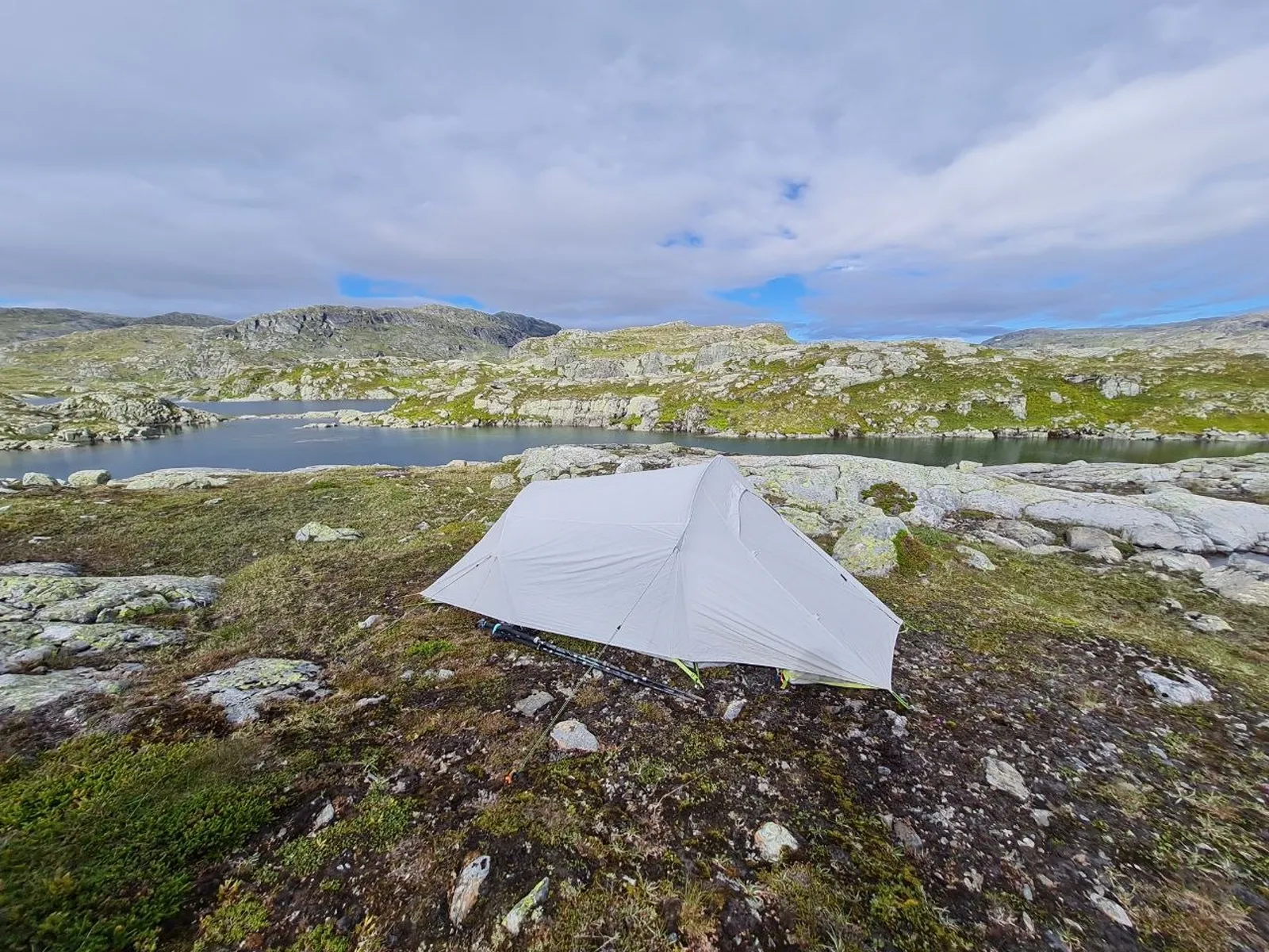
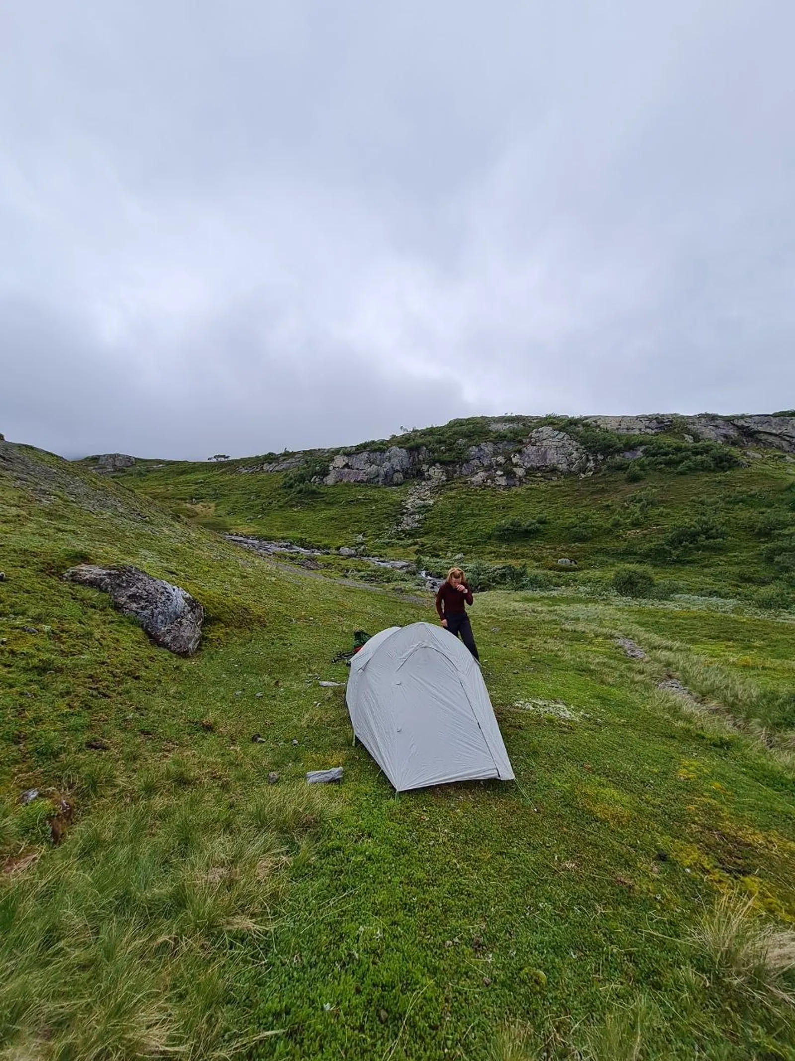
We split nights between tent and cabins. The cabins were a welcome refuge on the worst weather days. There is no phone reception across most of the route, so carry navigation on multiple independent devices and download everything before departure.
The mountain lakes along the route are swimmable, but during our trip the water was cold and the air cool, so swimming was brief. In a warmer year it would be a highlight.
Day 1: Haukeliseter to Holmavatn
17.3 km | +643 m / −521 m
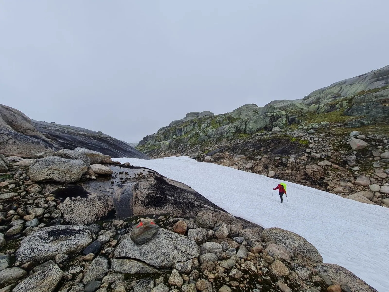
The route starts at Haukeliseter Fjellstue, reachable by bus from Oslo or Haugesund. The trail heads east along Ståvatnet, past the dam and a bridge over Kjelaelva, then south through Kvanndalen toward Kisteelvi. Not long after leaving the cabin, a herd of wild reindeer crossed our path, the only reindeer sighting of the trip, unfortunately without photos. The highest point is Turistskaret at around 1,330 m, where snowfields can persist into summer. The day ends at Holmavatn, a self-service DNT cabin.
Day 2: Holmavatn to Bleskestadmoen
17.0 km | +240 m / −755 m
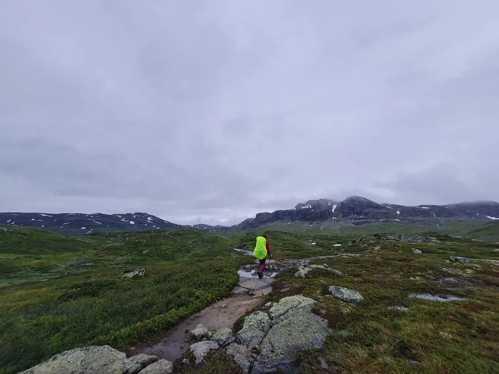
West through relatively easy high mountain terrain, crossing Tverråna on a year-round bridge, past the unserviced Kvanndalen cabin, then southeast along a construction road to a dam. The terrain then turns to small rocks and myr, the wetland that can be very wet to walk through, especially after rain. The day ends at Bleskestadmoen, a self-service DNT cabin.
Day 3: Bleskestadmoen to Jonstølen
14.5 km | +606 m / −465 m
Southwest through birch forest, then a steep climb along Vallarjuvet before descending along Gaukstølåna. The river disappears into a tunnel intake at one point, and the route follows a construction road to a bridge before reaching the cabin at Jonstølen.
Day 4: Jonstølen to Krossvatn
16.0 km | +713 m / −506 m
Southwest from Jonstølen, crossing Jonstølåna on a year-round bridge, then climbing through fir and birch forest. The valley opens up toward a snow field climb to the top of Kyrkjesteinskaret. From there the terrain is lightly rolling, wild, rocky high mountain with gentle ups and downs to Krossvatn.
Day 5: Krossvatn to Hovatn
19.9 km | +653 m / −626 m
Open, dry high mountain terrain heading southeast. This day combines the official stages through Vassdalstjørn to Hovatn, crossing the Pøylåna river, which can be fast flowing and very cold during snowmelt. The terrain passes through a traditional reindeer hunting area. The day ends at Hovatn after crossing a year-round bridge.
Day 6: Hovatn to Storsteinen
13.3 km | +232 m / −436 m
West back toward the Vassdalstjørn waypost, then south through hilly high mountain terrain with views toward Storsteinen. The area around Storsteinen is one of the most important wild reindeer zones in the region, sitting in the heart of the Dyraheio landscape protection area. Several year-round bridges cross streams along the way.
Day 7: Storsteinen to Litle Aurådal
15.4 km | +564 m / −539 m
From Storsteinen we diverged from the main marked SignaTUR RYGER route. The route on the map becomes a dashed line rather than a solid trail, indicating harder, less-maintained terrain. Route-finding becomes more demanding and progress slower, with sections of boulder-hopping and scrambling over wet, moss-covered rock. We encountered an exposed section of steep, slick slab where the rock was wet and mossy, the kind of terrain where microspikes (Grödel) would have made a real difference. The route passes through the core wild reindeer zone around Storsteinen before descending toward Litle Aurådal.
This was the worst weather day of the trip. Very heavy rain set in and we sat it out in a cabin rather than pushing through. Losing that day meant we had to compress what was originally planned as two days into a single long Day 8.
Day 8: Litle Aurådal to Lysefjord
27.2 km | +898 m / −1,830 m
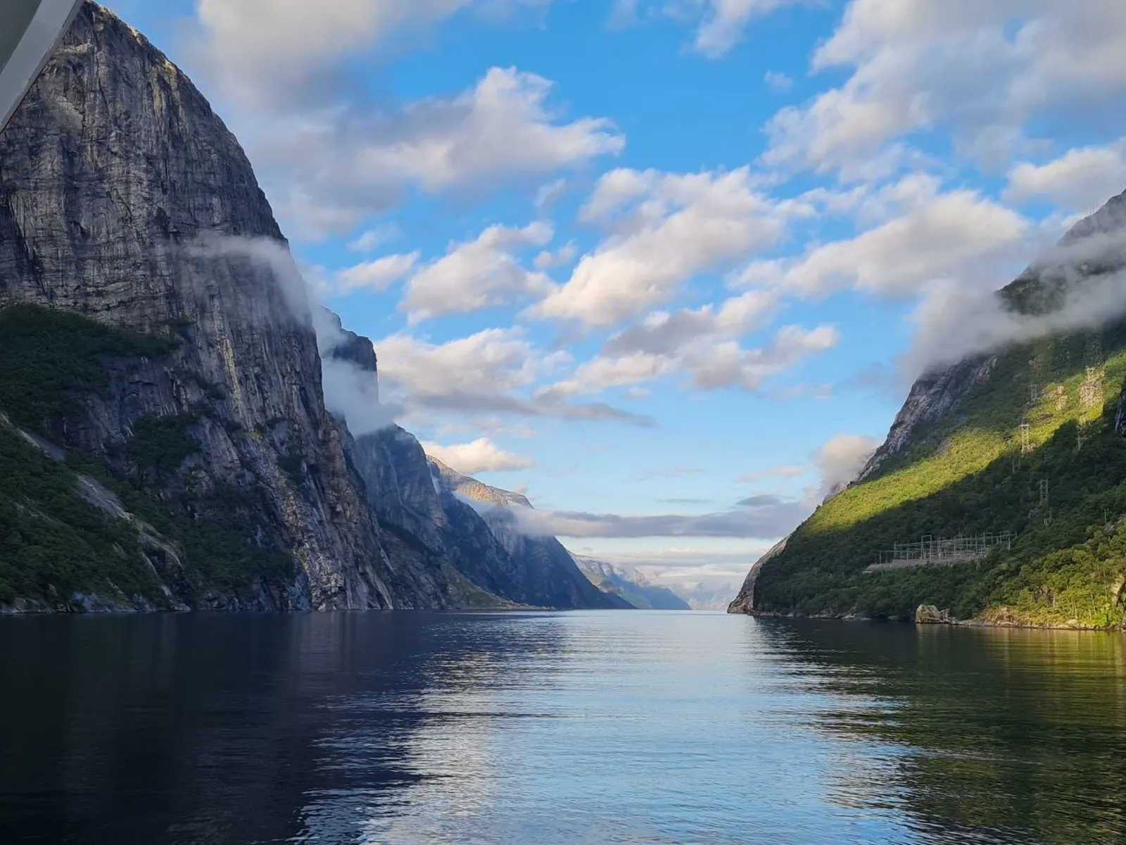
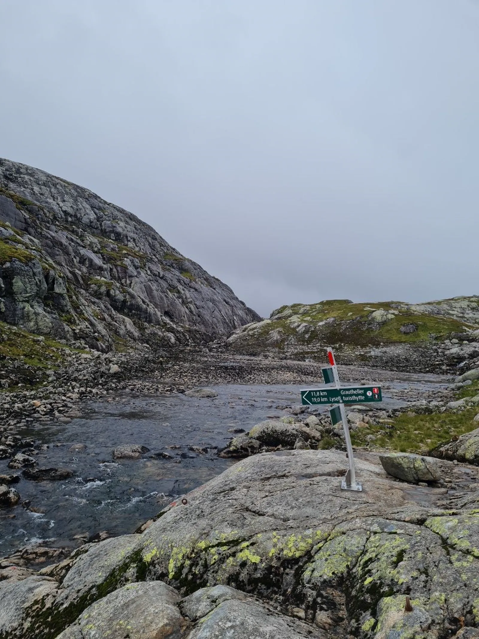
The longest and most demanding day. We had originally planned this final section as two separate days, but after losing a day to heavy rain on Day 7, we had to combine both into one. The route continues south on the dashed-line terrain through Grautheller and Børsteinen, becoming progressively greener and lower as it approaches the fjords, but remaining hard to follow in places with more boulder-hopping and wet rock sections. The final 1,830 m of descent brings you down toward the Lysefjord area. We took a rest day at Sirdal before this push, then finished the traverse and took a boat from the Lysefjord, ending the trip earlier than originally planned.
Getting there
The NW180 Haukeliekspressen bus runs daily from Oslo bussterminal to Haukeliseter, with the bus stopping right outside the Haukeliseter Fjellstue. The journey takes approximately 5 hours. The same bus also connects from Haugesund.
For the return, a year-round ferry service runs through the Lysefjord, connecting Lysebotn with Forsand and onward to Stavanger. From Stavanger, flights connect back to Oslo. Alternatively, the NW180 bus connects Haugesund back to Oslo if you prefer to return by bus.
Check current schedules before departure, as ferry frequency varies by season.
What to bring
- DNT membership card and hut key, without which the self-service cabins are inaccessible.
- Full waterproof outerwear and insulating layers. The Ryfylkeheiane are exposed highland and weather can change rapidly.
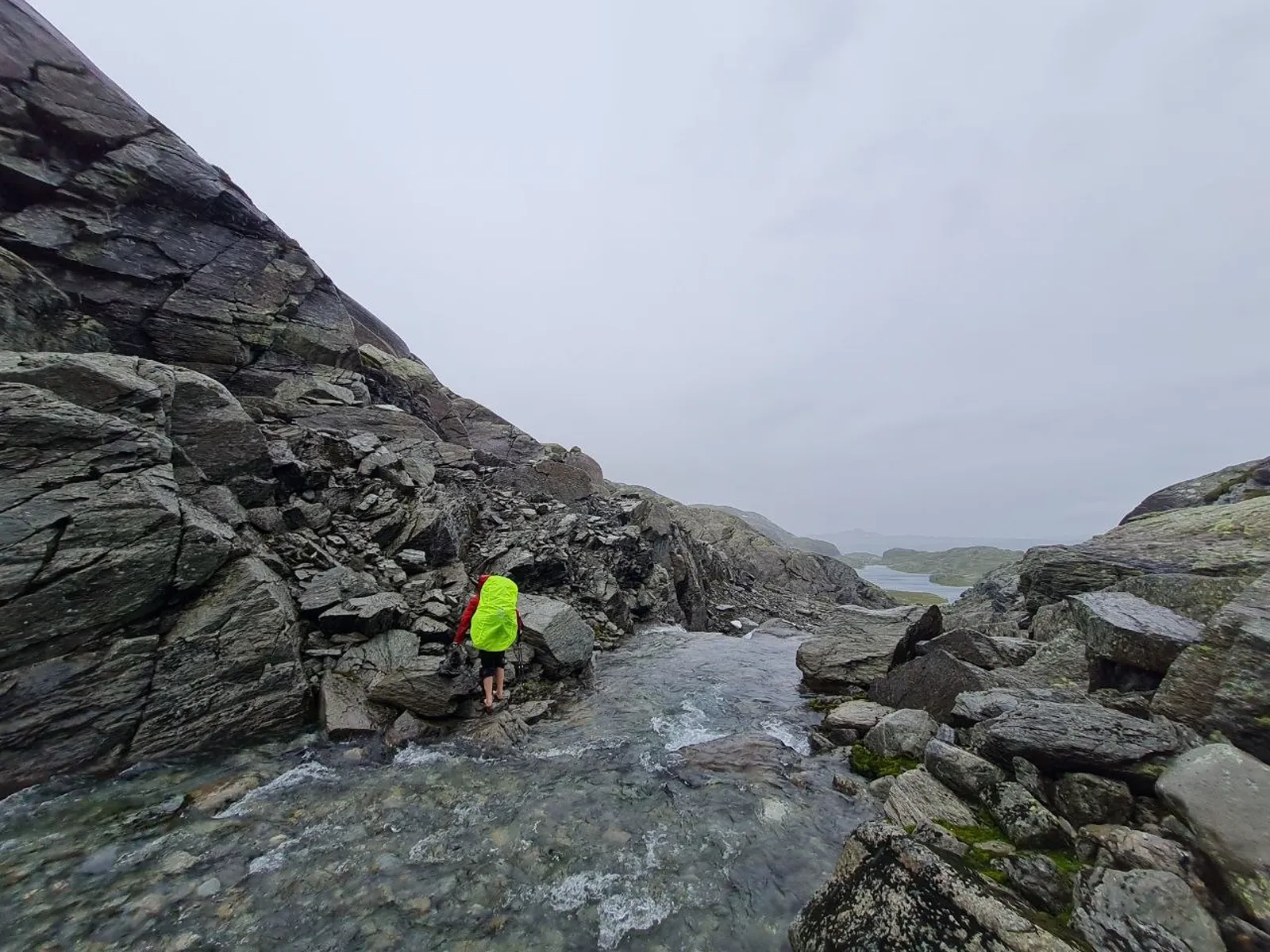
- Trekking poles: essential for river crossings, the long descent on Day 8 (1,830 m), and stability on wet, mossy rock. We had two river crossings that would have been significantly more difficult without them.
- Microspikes (Grödel): we encountered steep, exposed sections of wet, mossy rock where the rock was slick and a fall would have had serious consequences. Microspikes mount on your boots and grip the rock far better than rubber soles. I wished I had brought mine.
- Hut sleeping bag (hyttejojo) for the self-service cabins.
- Multi-day food supply. Cabin food stocks vary and should not be relied upon for full resupply.
- Navigation: GPX tracks on multiple devices with power backup. No phone reception on most of the route.
Tips
- Obtain your DNT membership and hut key before departure. These cannot be arranged on the trail.
- Book cabins in advance through the DNT website, especially during peak summer season.
- Summer bridges are installed by volunteers in mid to late June and may be delayed by snowmelt. Check the DNT website or contact the local branch for current bridge status before departure.
- The Pøylåna river crossing between Krossvatn and Vassdalstjørn can require wading. Use trekking poles for stability. We had one or two crossings that were moderately difficult even with poles. Without them they would have been significantly harder. For river crossing technique and safety, see the DOC New Zealand river crossing guide. The principles are the same in Norway.
- The myr sections are swampy wetland that can be very wet to walk through, especially after rain. Waterproof footwear and gaiters help.
- Carry microspikes (Grödel). On Days 7 and 8 the route leaves the main marked trail and crosses steep, exposed rock that was wet and mossy. A slip on this terrain would have serious consequences. Microspikes grip wet rock far better than boot soles.
- Day 8 is a long day at 27.2 km with significant descent. If you are running behind schedule or weather is poor, consider splitting it or ending the traverse earlier.
- Build a weather buffer into your schedule. We encountered sustained rain from a storm system and were glad to have rest day flexibility.
- The Storsteinen area is core wild reindeer habitat. Keep your distance and do not approach reindeer.
Links
- DNT Norwegian Trekking Association: Membership and Huts
- SignaTUR RYGER: Official DNT Route (ut.no)
- SignaTUR RYGER: Route in English
- NW180 Haukeliekspressen: Bus to Haukeliseter
- Lysefjord Ferry Service
- Dyraheio Protected Landscape: Setesdal Vesthei Ryfylkeheiane
- DOC New Zealand: River Crossing Safety
Downloads
Full Route GPX: All 8 Days Day 1 GPX: Haukeliseter to Holmavatn Day 2 GPX: Holmavatn to Bleskestadmoen Day 3 GPX: Bleskestadmoen to Jonstølen Day 4 GPX: Jonstølen to Krossvatn Day 5 GPX: Krossvatn to Hovatn Day 6 GPX: Hovatn to Storsteinen Day 7 GPX: Storsteinen to Litle Aurådal Day 8 GPX: Litle Aurådal to Lysefjord