



 Duration
Description
The Husedalen and Dronningstien Circuit links two of western Norway’s most iconic landscapes into a challenging 2-day mountain traverse: the deep canyon of the Kinso river with its four thunderous waterfalls, and the panoramic mountain rim of H.M. Queen Sonja’s trail (Dronningstien) overlooking the turquoise waters of the Hardangerfjord. Our GPS track recorded a total distance of 46.2 km with 2,021 m of cumulative ascent.
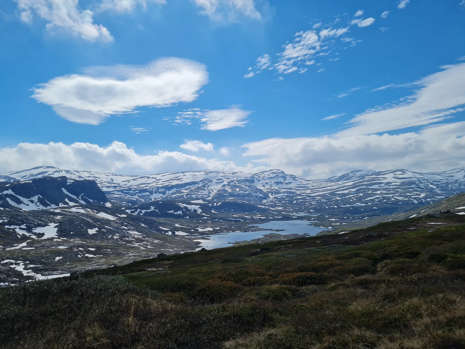
We hiked this route in late June 2022. Early summer in the high fells of Vestland brings roaring glacial runoff, intense contrast between green fjord valleys and snow-draped plateaus, and long daylight hours. Temperatures varied from pleasant valley conditions near 18°C in Kinsarvik to brisk winds of 4–8°C across the exposed bedrock of the Hardangervidda plateau above 1,200 m.
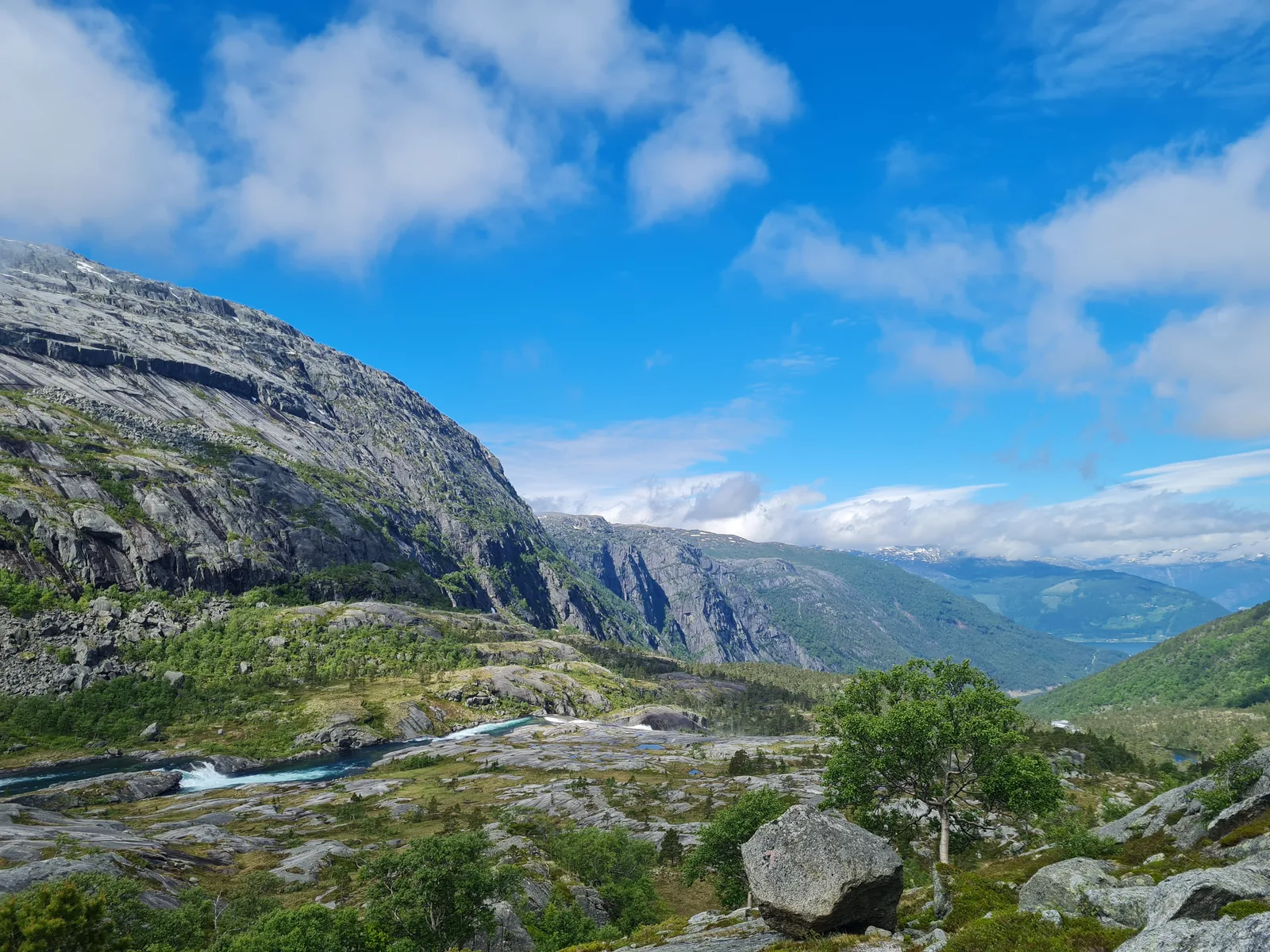
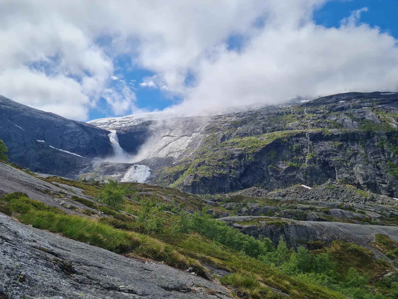
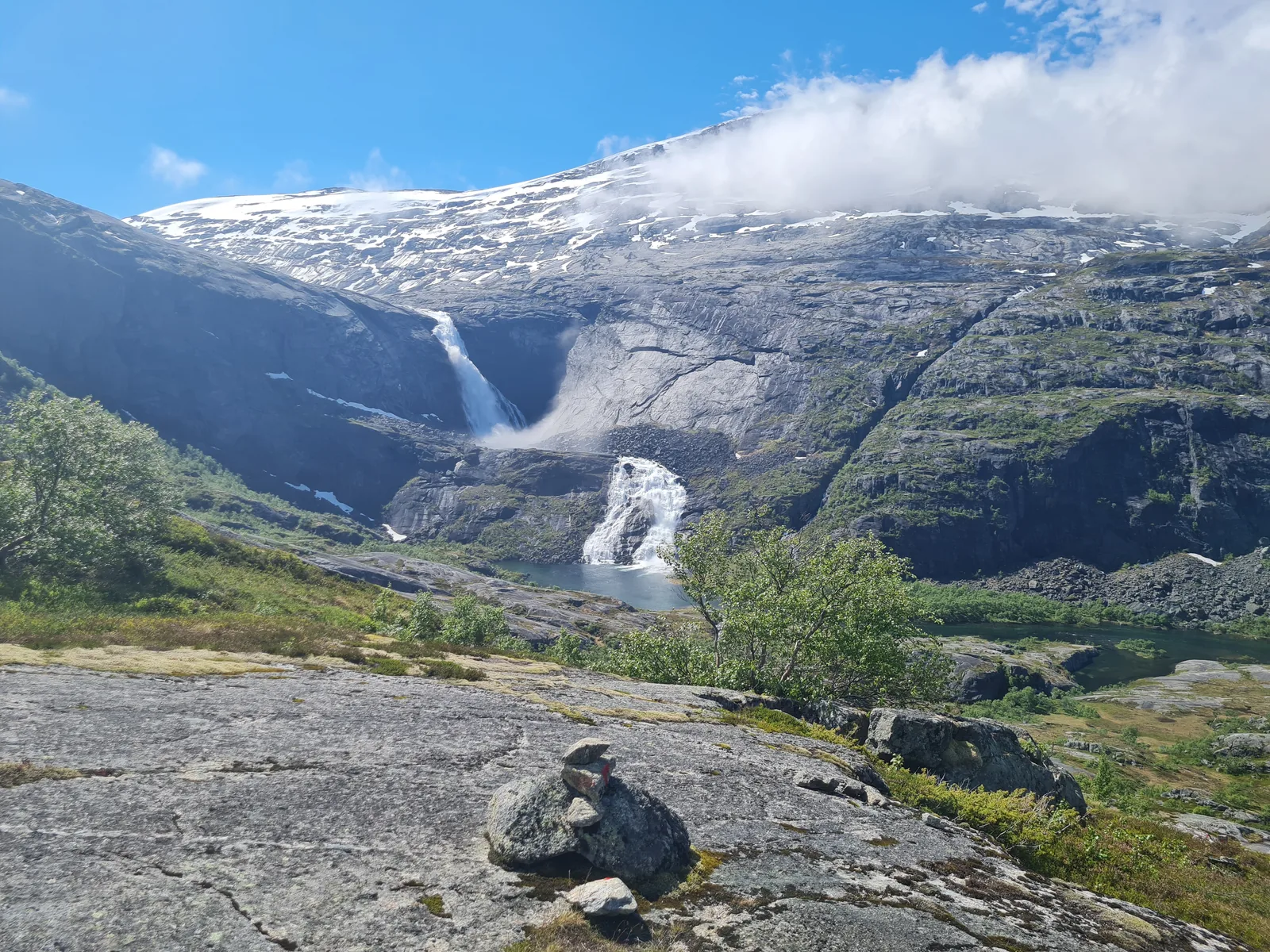
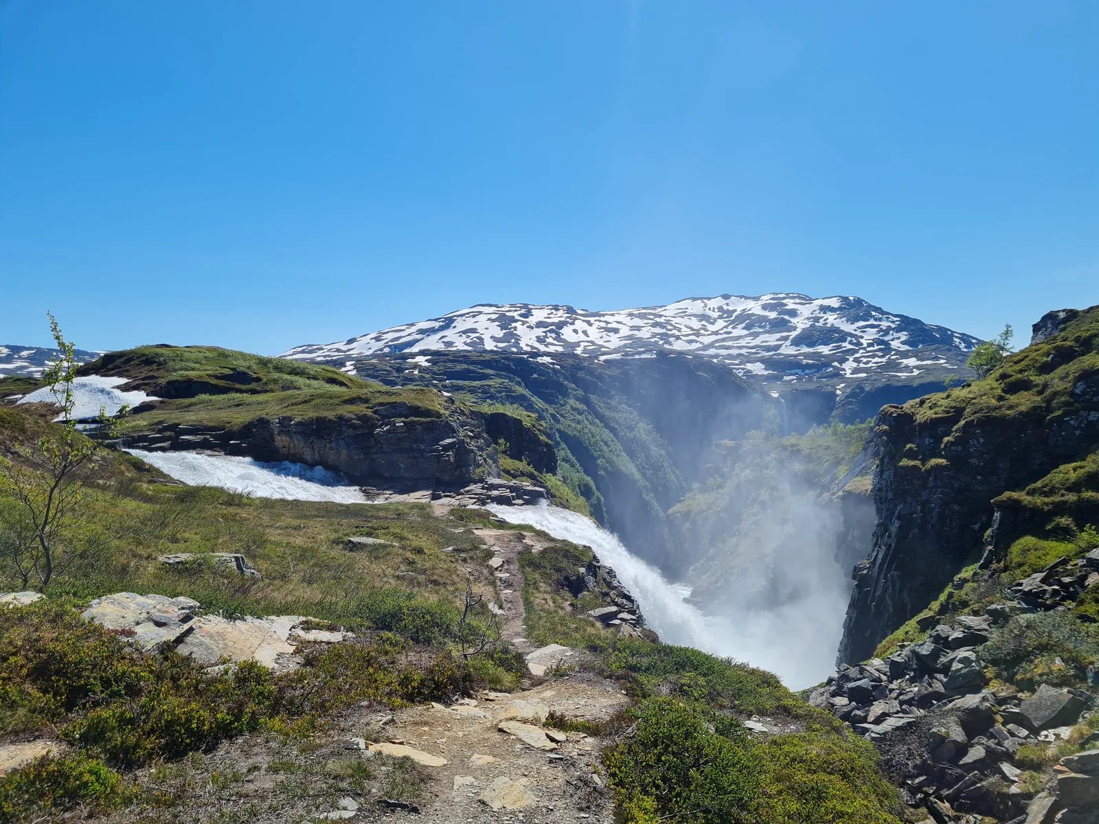
The circuit begins with a demanding vertical ascent. Leaving the fjord shoreline, the trail enters the Husedalen valley, where the Kinso river cascades through narrow granite gorges. Within the first two hours, hikers pass Tveitafossen, Nyastølsfossen, Nykkjesøyfossen, and the mighty Søtefossen. Beyond the top waterfall, the gorge falls away, opening onto the vast expanse of the western Hardangervidda.
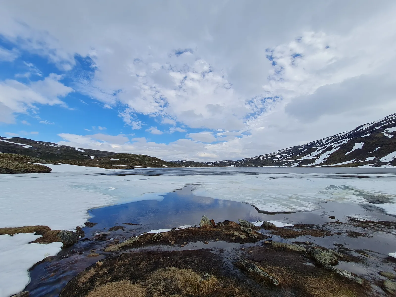
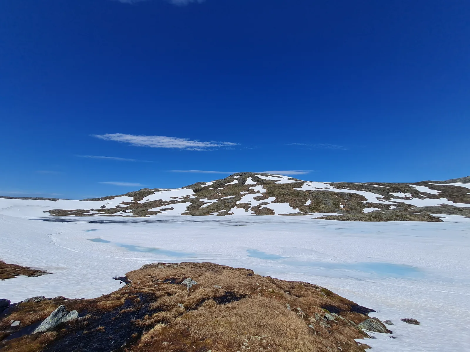
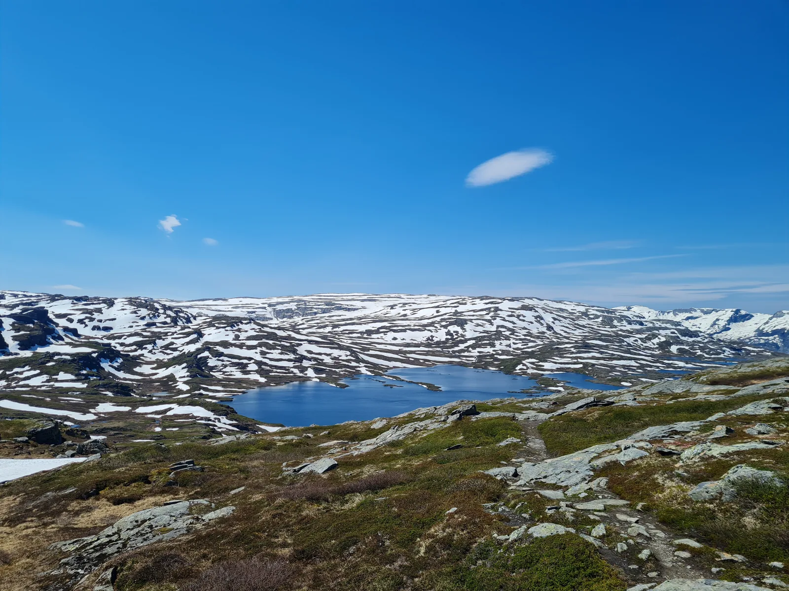
Navigating the high plateau requires sure footing. Red-painted Ts mark the way across expansive granite pavements, low alpine heath, and boulder slopes. Lingering snowdrifts and half-frozen tarns dot the landscape in early summer, feeding numerous clear mountain streams that provide reliable drinking water throughout the trek.
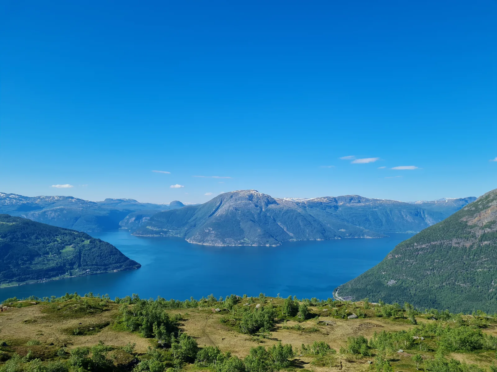
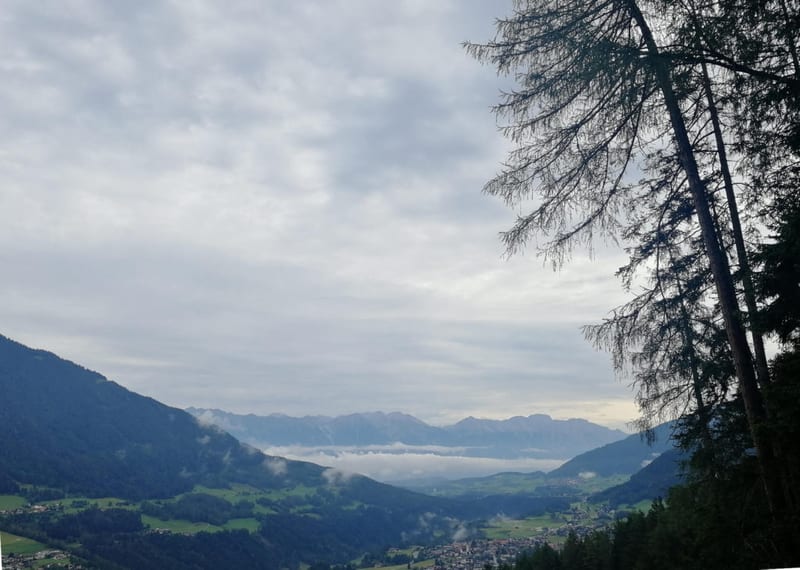
After camping near the high pastures of Fodnastøl, the second day traverses northwest across the open plateau before joining the famous Dronningstien ridge path. Walking along the crest between Røte and Lofthus provides sheer drops and panoramic vistas across Sørfjorden, with the glaciated peaks of Folgefonna standing across the water. The trek finishes with a steep, sustained descent back to Kinsarvik.
Day-by-day
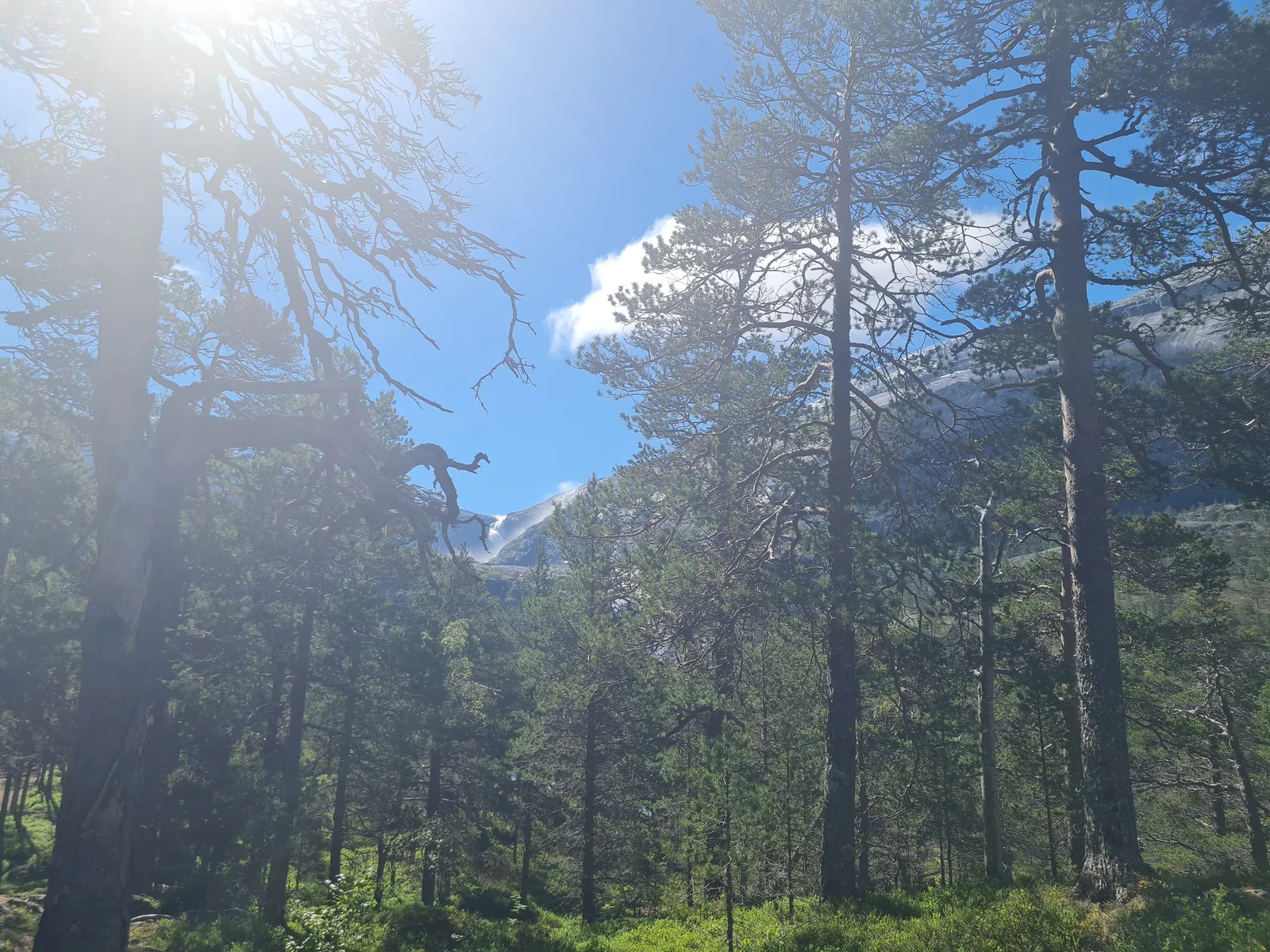
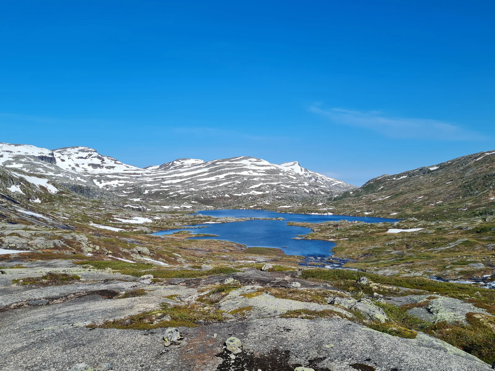
Day 1 started from Husemoen trailhead on the eastern outskirts of Kinsarvik. The trail followed the gravel track beside the roaring Kinso river before transitioning into a rough mountain path that climbs steeply alongside the four Husedalen waterfalls: Tveitafossen, Nyastølsfossen, Nykkjesøyfossen, and the dramatic spray of Søtefossen. Once above the treeline and past the waterfall rim, the path leveled out across the sprawling granite slabs and tarns of the western Hardangervidda. The day ended at the traditional high pastures of Fodnastøl near Stavali at 1,058 m, pitching our tent beside a tranquil mountain lake beneath lingering summer snowfields.
Day 2 broke with crisp morning air and clear skies across the high fell. We set off northwest across open plateau terrain between 1,100 m and 1,250 m, hopping across boulder fields and skirting high tarns where winter ice was still breaking up. Contour lines gradually led us to the western rim of the plateau, intercepting the Dronningstien trail. The ridge traverse offered sweeping panoramic views across Sørfjorden and the Hardangerfjord hundreds of meters below. We followed the trail along the cliff edge past Røte before beginning the grueling 1,200 m descent through mountain birch and pine forest, concluding the loop right at the fjord edge in Kinsarvik.
Getting there
Fly into Bergen Airport (Flesland). Take the Vy train from Bergen station to Voss (approximately 1h 15min). At Voss station, board the connecting Skyss bus line 990 toward Odda, which stops directly in central Kinsarvik (approximately 50min).
If traveling by car, follow Route 13 along the eastern shore of Sørfjorden. Parking is available near the town center in Kinsarvik or at the Husemoen hikers’ car park at the entrance to Husedalen valley.
Accommodation
The route offers both wild camping and cabin options. Above the treeline and outside cultivated land, tent camping is freely permitted under Norway’s right to roam (allemannsretten). High tarns near Fodnastøl provide excellent, flat turf pitches with immediate access to fresh running water.
For cabin shelter, Stavali cabin (1,024 m) lies just east of the halfway mark. Operated by Bergen og Hordaland Turlag (DNT), it is a self-service mountain hut equipped with firewood, gas cooking facilities, drying rooms (tørkerom), and a food pantry. Advance booking is not strictly required, though carrying a standard DNT key and membership card is recommended. In Kinsarvik, camping grounds, cabins, and local guesthouses offer accommodation before and after the trek.
What to bring
- Dependable 3-layer waterproof jacket and rain trousers for sudden Atlantic weather fronts.
- Sturdy waterproof trekking boots with stiff vibram soles for rough granite slabs.
- Trekking poles: vital for stability across boulder fields, river crossings, and the steep 1,200 m descent into Kinsarvik.
- Thermal baselayers (merino wool), fleece, and a lightweight insulated jacket for cold high plateau winds.
- 3-season tent, sleeping pad, and a sleeping bag rated down to 0°C if camping.
- Water shoes or sandals for wading across swift, unbridged snowmelt streams without soaking boots.
- Reliable power bank (10,000–20,000 mAh) as no electrical outlets exist on the open fell.
- Offline navigation: GPX track loaded onto a GPS unit or offline mapping app (UT.no or OsmAnd).
- DNT membership card and universal cabin key if planning to utilize Stavali cabin.
Tips
- Check local snowmelt conditions in Kinsarvik or at the DNT office before setting out in late June. Early season crossings can feature deep snow bridges and high creek levels.
- Plan sufficient time for the Husedalen ascent: the steep, rough path beside the waterfalls demands a deliberate pace and frequent stops to appreciate the volume of water.
- Pack trekking poles to relieve joint strain during the final 1,200 m descent down from Dronningstien into Kinsarvik.
- Keep a watch on changing mountain weather; the plateau above 1,200 m is completely exposed with no natural tree shelter from high winds or driving rain.
- Drinking water is abundant and pristine in high streams draining the snowfields; carrying more than 1 liter at a time is rarely necessary.
- Cell service is patchy or completely absent once you climb past Søtefossen until reaching the outer rim of Dronningstien.
Links
- UT.no: Official DNT Trail Portal
- Hardangerfjord Tourism Information
- Skyss: Public Transit Timetables in Vestland
- Vy: Norwegian Railway Journey Planner
- DNT Bergen og Hordaland Turlag: Stavali Cabin Info
Downloads
Full Route GPX: Husedalen & Dronningstien Circuit Day 1 GPX: Kinsarvik to Fodnastøl via Husedalen Day 2 GPX: Fodnastøl to Kinsarvik via Dronningstien