



Description
The Glacier Crest Trail is a challenging day hike in Glacier National Park, British Columbia, in the Selkirk Range. It climbs roughly 960 m over about 11.4 km round trip to a naturally carved ridge that sits between the Illecillewaet Glacier on one side and the Asulkan Glacier on the other. The destination is one of the few spots in the park where you can see two glaciers from a single vantage point.
The trailhead is at the Illecillewaet Campground, about 3 km west of the Rogers Pass summit along the Trans Canada Highway. The turnoff is only accessible from the eastbound lanes. If you are driving west, you need to continue past and use a U-turn about 1.5 km beyond the turnoff, or take the Loop Brook Campground turnoff 1.3 km further along. Parking is available in perpendicular spots at the end of the campground road, with overflow parallel parking along the road. On weekends and holidays, cars line the road, so arrive early. A welcome kiosk staffed in summer, outhouses, and food lockers are at the trailhead.
The hike starts on a flat old railway grade and crosses a bridge to the Glacier House ruins, stone foundations of a 90-room hotel that once stood here and predates the Lake Louise Chalet. Wildflower meadows and ground squirrels surround the ruins. The trail then enters lush Asulkan Valley, paralleling Asulkan Brook on a path over a century old.
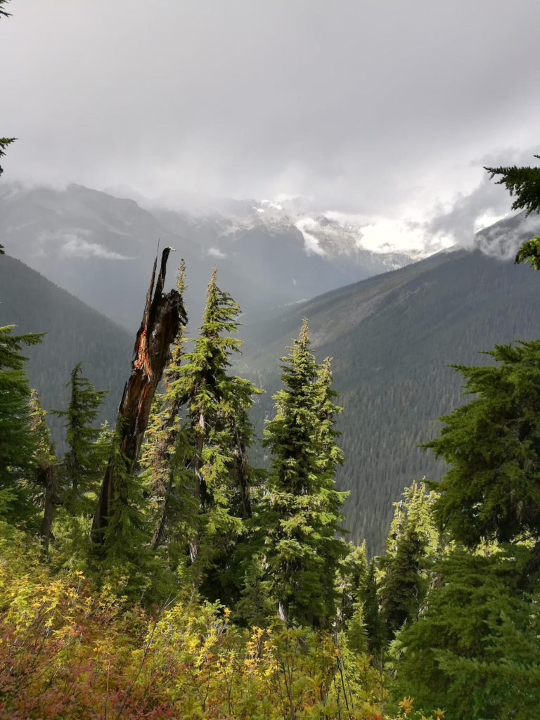
At roughly 1.7 km, a junction marks the start of the Glacier Crest Trail proper, branching left off the Asulkan Valley Trail. The sign is easy to miss, so pay attention. From here the trail climbs on forested switchbacks, rocky and narrow in places, with the trees thinning as you gain elevation. Views of the surrounding peaks and the highway below start to open up through gaps in the forest.
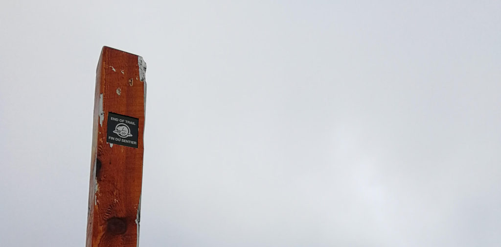
Above treeline, the trail widens onto bare rock with little shade. The Asulkan Glacier comes into view on the right, with large boulders bordering the path to the left. At about the 5.2 km mark, the trail turns east up to the ridge for a final steep climb of roughly 250 m. Parks Canada has added rock steps in places to ease the grade. The ridge top is a jumble of solid rock with a well-used route leading to a trail sign and then a summit cairn, which marks the end of the official trail.
From the ridge, the views are the payoff. Mount Sir Donald, at 3,284 m, dominates the northern skyline. The Illecillewaet Glacier fills the valley to one side, with waterfalls cascading down its melt channels. The Asulkan Glacier sits on the other. Despite the scenery, the trail sees surprisingly few hikers, often fewer than a dozen even on a summer weekend.
For those of you suffering from vertigo: The trail is quite steep and is marked as ‘difficult’ due to that. However, if you stay on the path, no part of the trek is exposed.
There is no reliable water source beyond the first 1.6 km, so carry at least 2 liters per person. There is limited shade above treeline, and weather in Rogers Pass changes fast. Cell service is poor to nonexistent, so consider carrying a satellite communicator.
What to bring
- Bike and Hike essentials
- Bear spray
- Be prepared for unpredictable weather
Tips
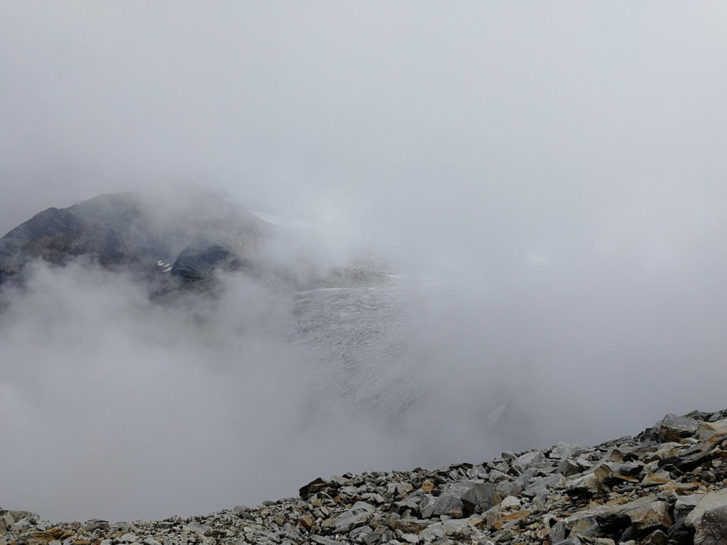
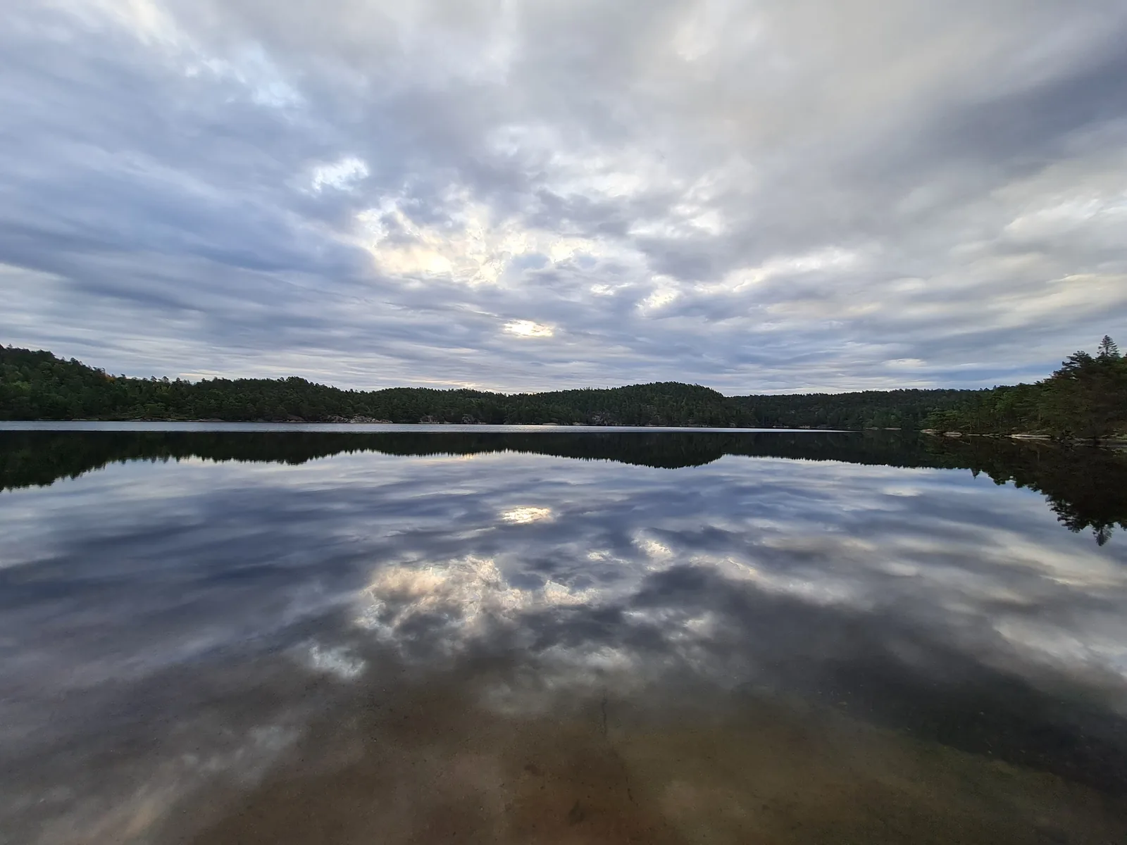
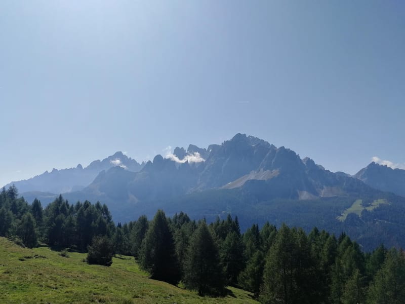
- Go in good weather, otherwise you will not be able to see the glaciers (see pictures below).
- Bear activity is high in this area. The trailhead campground posts recent sightings on a chalk board. When we visited, there were multiple reports per day. We found bear scat on the trails regularly. Go in groups, make noise especially in low-visibility conditions, and review NPS bear safety guidelines before heading out.
- The trailhead turnoff is eastbound only on Highway 1. Westbound drivers need to use the U-turn 1.5 km past the turnoff or take the Loop Brook Campground turnoff.
- Carry at least 2 liters of water per person. There is no reliable water above the first 1.6 km.
- On the return, you can add a short detour on the Meeting of the Waters loop to see the confluence of Asulkan Brook and the Illecillewaet River, where Parks Canada has placed red chairs.
- The trail is usually snow-free from late July through September. Check the Parks Canada trail conditions page before heading out.
Links
Downloads
Glacier-Crest-Trail_smDownload