



 Duration
Description
The Gillespie Pass Circuit is a 58 km tramping route — tramping is the New Zealand word for hiking — in Mount Aspiring National Park, linking the Young and Wilkin river valleys via a 1,600 m alpine pass. The route can be walked in either direction, but most people go anti-clockwise: starting at the Makarora River, up the Young Valley, over Gillespie Pass, down into the Siberia Valley, and out via the Wilkin River back to Makarora. The circuit is not a Great Walk. Camping is permitted throughout the valleys. We have done this circuit twice, years apart — once with a tent, once without — and it is a genuinely good route. The huts are good, but they can fill up, especially around holidays. If you go without a tent, bring an iso mat so you can sleep on the hut floor if the bunks are taken. That happened to us. You can also reserve bunks in advance. The natural experience of camping in the valleys is excellent, and we would do it again. The trade-off is weight: a tent makes the pack heavier, and the track is challenging enough that every kilogram matters.
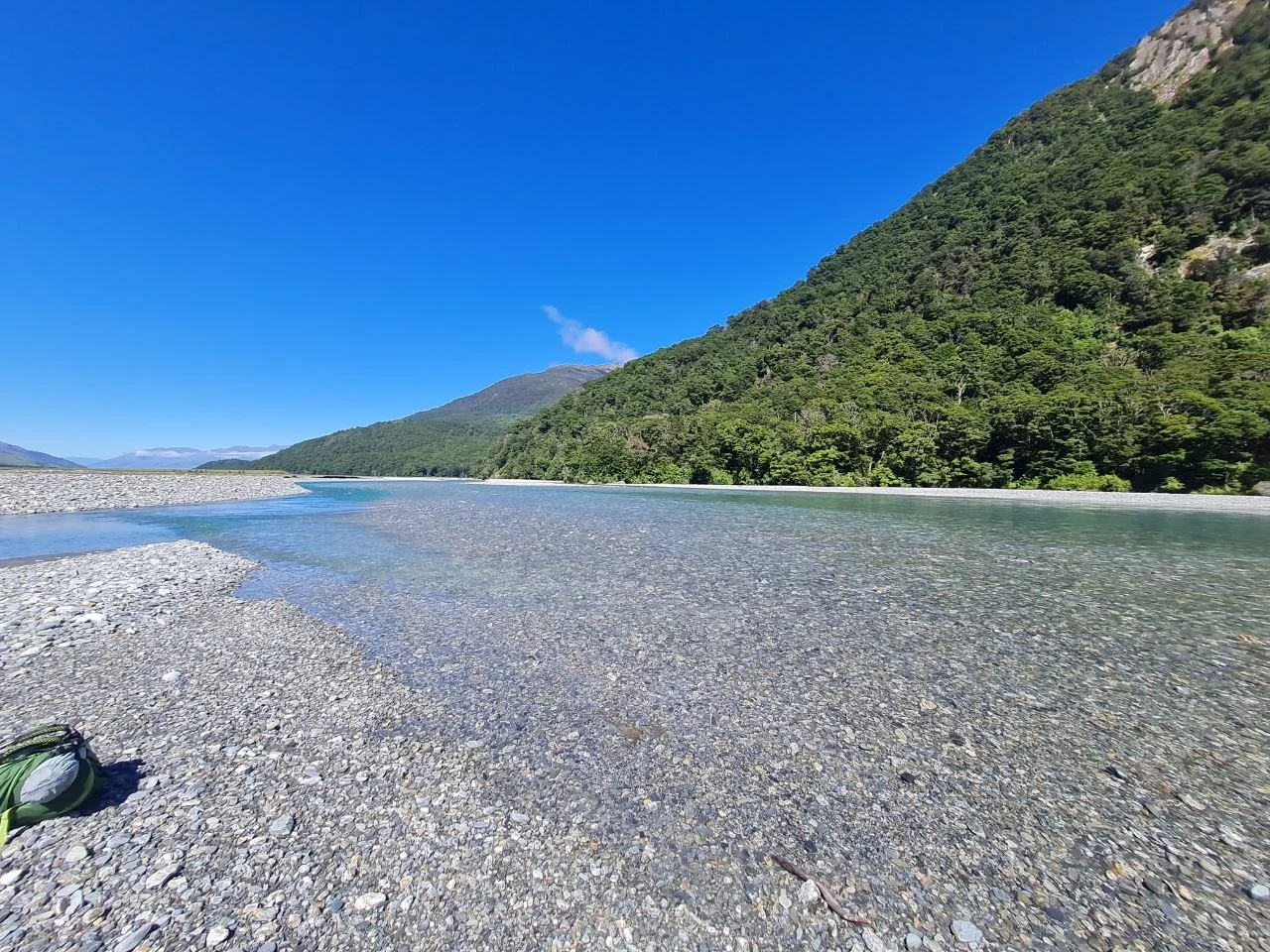
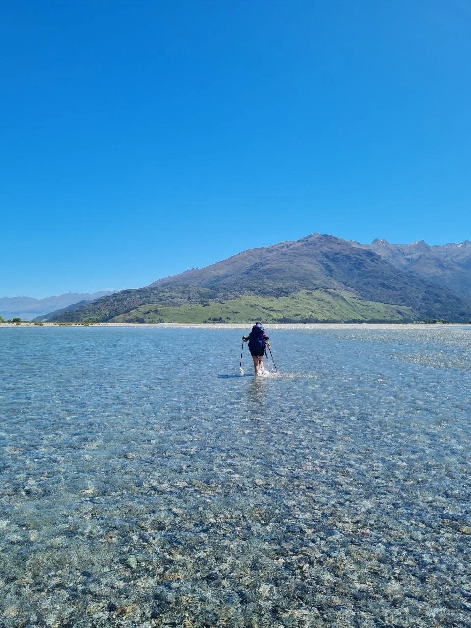
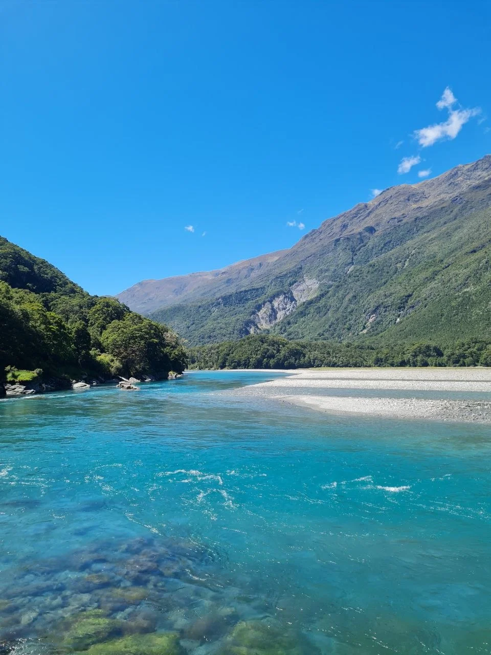
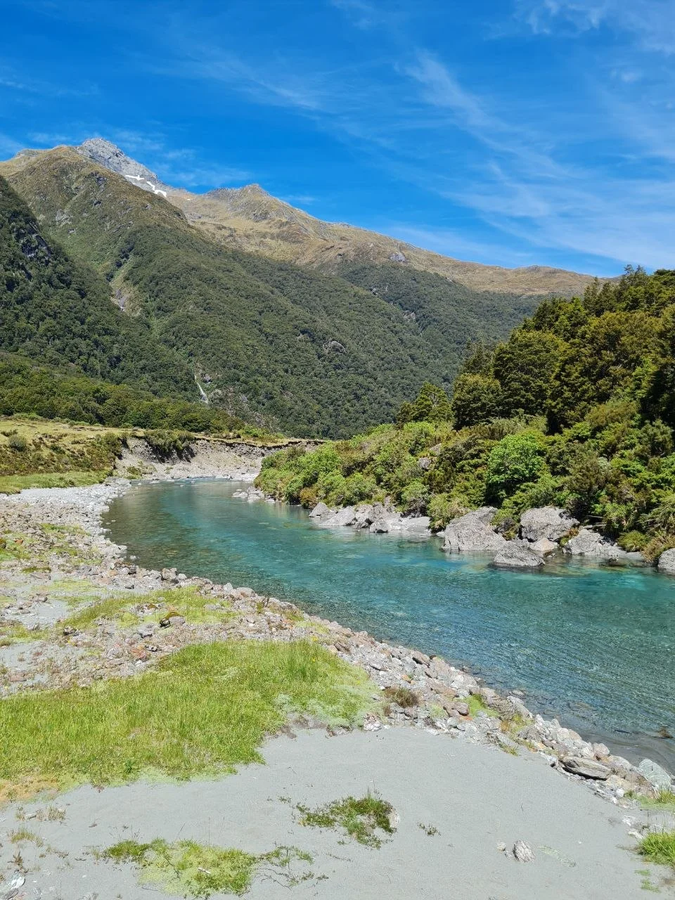
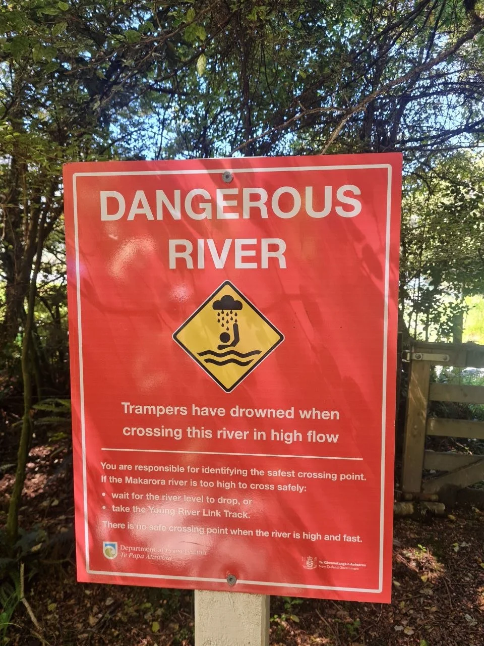
Day 1 covers 22.6 km with 1,117 m of ascent. The first obstacle is the Makarora River crossing. This is a significant river and the crossing is consistently difficult. We have done the circuit twice and the Makarora crossing was critical both times. The water is deep and the river is wide. Follow river crossing rules: assess the depth, choose your crossing point carefully, and unlink your pack. If the river is high after rain, do not cross. Wait for it to drop, take the Young River Link Track which uses a swing bridge, or book a jet boat transfer with Wilkin River Jets from Makarora to the Young River mouth. We will probably take the jet boat next time ourselves. It saves the most dangerous crossing of the circuit and starts the trek with dry feet.
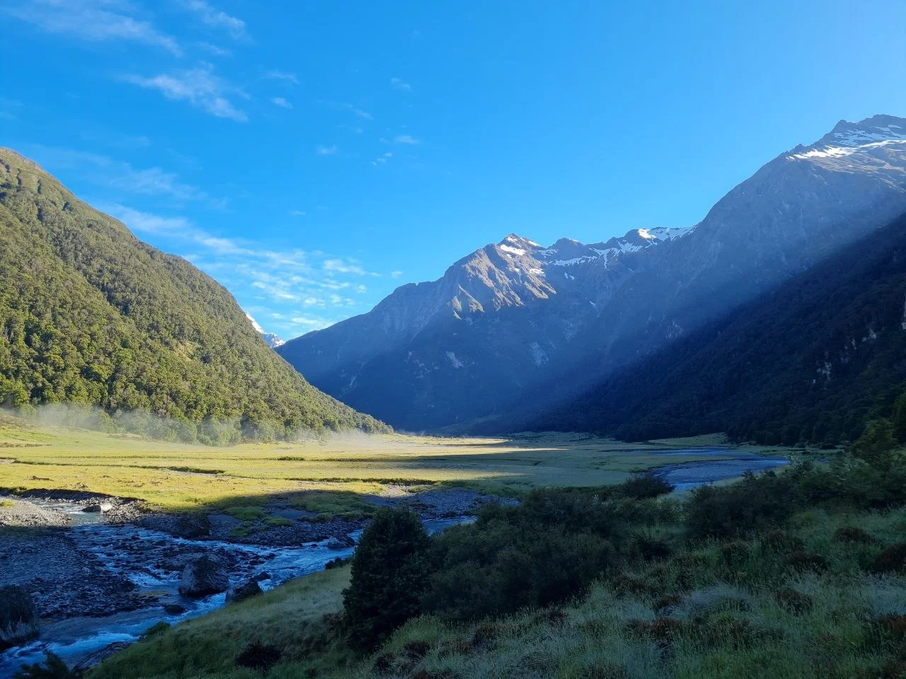
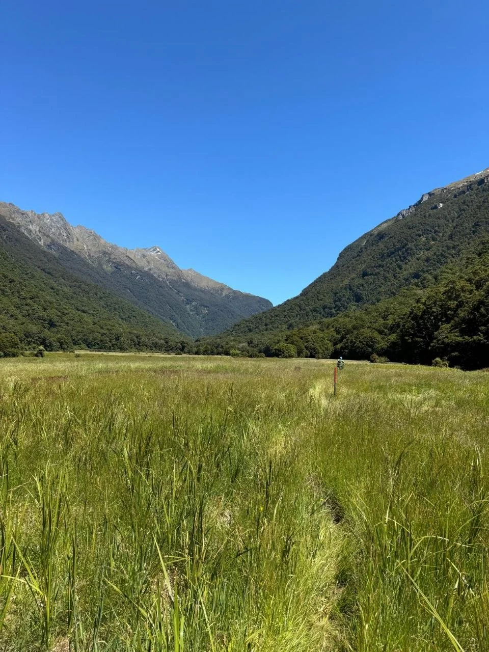
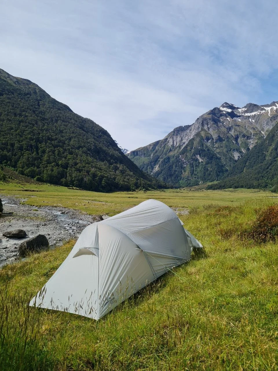
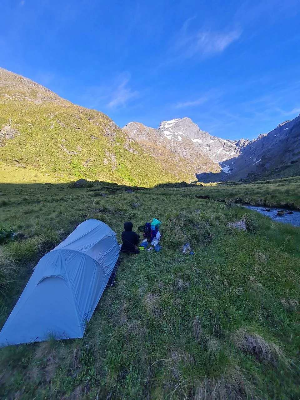
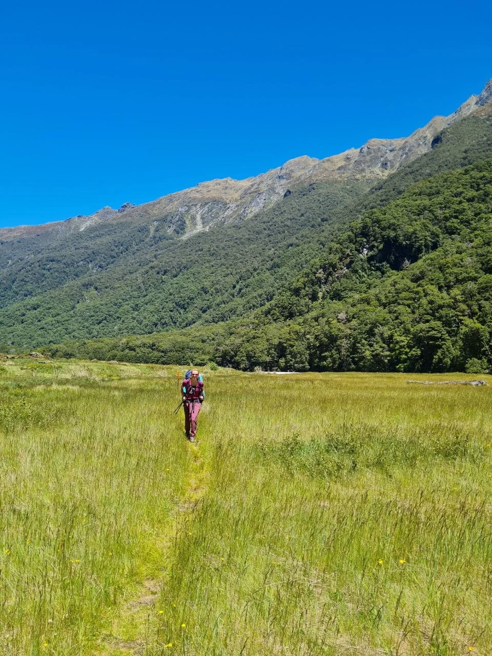
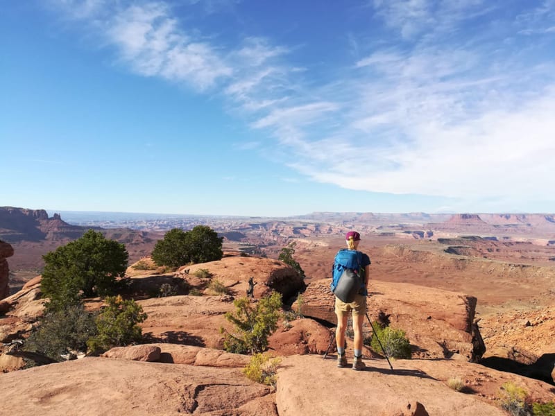
Once across the Makarora, the track follows the Young River upstream on the true left through silver beech forest and open river flats. A swing bridge crosses at the junction of the North and South branches of the Young River, 3 to 4 hours from the start. On our last visit the bridge was closed, so check current status before you rely on it. From there the track climbs steadily to Young Hut at 550 m. Camping is not permitted around Young Hut. Our recommendation if you have a tent: continue past the hut for another hour or so and pitch camp in the grass below the pass. The photos show this area well. It is a better spot to sleep than the hut, and you save time the next morning. The walking past the hut is good, but it takes longer than you might expect to reach the grassy campsites.
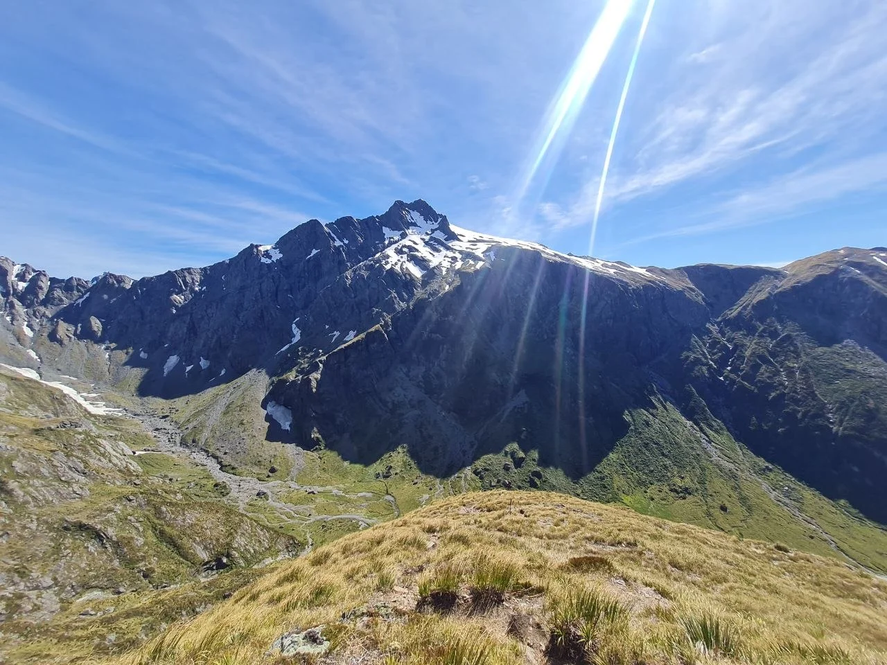
Day 2 is the shortest day by distance at 11.1 km, but the most demanding. From camp below the pass, the track climbs through snow grass and rock to Gillespie Pass at 1,600 m. The ascent is steep. It is not technical, and no special gear is needed, but you should be comfortable with exposure and steady on your feet. In places you may want to use your hands. The pass gives wide views across the Southern Alps, with Mount Awful dominating the skyline. Fill water bottles before leaving the valley: this is the last water source before the alpine section.
The descent from the pass drops into the Siberia Valley through snow grass basins and then beech forest. These basins are very slippery when wet. The track follows Siberia Stream down to Siberia Hut at 630 m. Siberia Hut has 20 bunks and is now well-frequented. An airstrip nearby sees regular tourist flights from small planes. It was quieter in the past. The valley above the hut is alpine and open. Below the hut the character changes to valley floor walking through beech forest and river flats.
Day 3 covers 24.3 km and is the longest day. From Siberia Hut the track follows the valley floor for 30 minutes, then enters forest on the true left of Siberia Stream. It sidles above the Siberia Gorge and drops via zigzags to the Wilkin River. Kerin Forks Hut (10 bunks, 340 m) sits on the far bank. To reach it you must cross the Wilkin River. It is a significant river and should not be underestimated. We have stayed at Kerin Forks Hut on a previous trip and the Wilkin crossing was hip-deep and fast. If the water is too high after rain, do not cross. If you have a tent, you can camp on the Siberia side without crossing. We would recommend either finishing the circuit in one push or tenting on the correct side rather than crossing for the hut.
From Kerin Forks the route continues down the Wilkin River on the true left. This section looks short on the map but can be slow. If the water is low enough, you can walk much of it on the riverbed, on stones and gravel. If the water is high, you take the track on the left side of the river. That track is rough: constant up and down over roots and rocks, and you frequently have to search for the way. The distance looks modest but the terrain is rough going. It takes longer and costs more energy than the kilometers suggest. The final obstacle is the Makarora River crossing — the same river you crossed or jet-boated at the start, but here on the Wilkin side there is a vehicle ford where the water is shallower. After that, it is an easy walk on Wilkin Road back to SH6.
Lake Crucible is a side trip from Siberia Hut. It sits high above the Siberia Valley under Mount Alba. The route follows the valley flats, then climbs through forest and snow grass to the lake, which sits in a basin under steep rock walls. Rockwren are often seen at the lake outlet. The trip is a full day from Siberia Hut. Camping is not allowed in the Crucible Basin because of fragile alpine herb fields. We never made this side trip despite considering it each time. The people we talked to who had done it found it quite beautiful. You can do it as a day trip if you are staying at Siberia Hut, or as a side trip on the way from Siberia to Kerin Forks — leave your pack somewhere and go up and back. But we would only recommend it for quite fit people, because it is a long way.
The area beyond the circuit, further down the Wilkin Valley toward the coast, has almost no infrastructure. Very few people go there. If you have time and want to keep going, there is a lot of remote nature to experience.
What to bring
- Tent. We have done this circuit once with and once without. The huts can fill up, especially around holidays. The best camping spots are below Gillespie Pass in the grass, not at Young Hut. If you go without a tent, bring an iso mat for the hut floor.
- Personal Locator Beacon or satellite communicator. No cell reception on the circuit.
- Walking poles. Useful for river crossings and the rough track on Day 3.
- Water treatment tablets or filter. Hut water is untreated and needs boiling before use.
- Layered alpine clothing and full waterproofs. Conditions at the pass can change quickly.
- Dry bags or pack liner. River crossings will wet unprotected gear.
- Food. There is nowhere to buy food on the circuit. You must carry everything for the entire trip, and this is the main factor limiting how long you can stay out. Bring at least two days more than you think you need, in case of delays from high rivers or other unexpected problems.
- River crossing shoes or sandals for the Makarora and Wilkin crossings.
Tips
- Book a jet boat transfer from Makarora to the Young River mouth for the first crossing. Wilkin River Jets runs the service. It saves the most dangerous crossing of the circuit and starts the trek with dry feet.
- The Wilkin River crossing at Kerin Forks is a genuine river crossing with no vehicle ford. Do not underestimate it. If the water is too high, camp on the Siberia side and wait, or skip the hut.
- Carry a tent and use it. The best campspot on the circuit is in the grass below Gillespie Pass, not at Young Hut. Freedom camping is permitted throughout the valleys. The natural experience is worth the extra weight, though the track is challenging with a heavier pack.
- Gillespie Pass is steep but not technical. You should be comfortable with exposure and may need your hands in places. Day 2 is physically demanding. Be fit.
- On Day 3, check the water level before choosing your route. If the river is low, walk the riverbed on stones. If it is high, take the track on the left side. The track is rough and slow with constant up and down over roots and rocks. It costs more energy than the distance suggests.
- The final Makarora River crossing near the end of Day 3 has a vehicle ford where the water is shallower. Use that line if the river is running. This is the same river as the first crossing, but the ford makes it more manageable.
- Siberia Hut is no longer the quiet spot it once was. An airstrip nearby brings regular tourist plane traffic.
- Kerin Forks Hut is a limited recommendation for an overnight stay. The Wilkin River crossing to reach it can be difficult. If you have a tent, camp on the Siberia side instead of crossing.
- Crucible Lake is a day trip from Siberia Hut. No camping in the basin. Plan a rest day at Siberia Hut if you want to do it.
- Multiple fatalities have occurred in rivers on this track. Take river crossings seriously and be prepared to wait if levels are too high.
Links
- DOC, Gillespie Pass Circuit official page
- DOC, Gillespie Pass brochure (PDF)
- Wilkin River Jets, jet boat transfers Makarora to Young Mouth
- NZ Mountain Safety Council, River Safety