




Austria · Europe · hiking · 2 days

Dolomites – Sillianer Hütte Loop

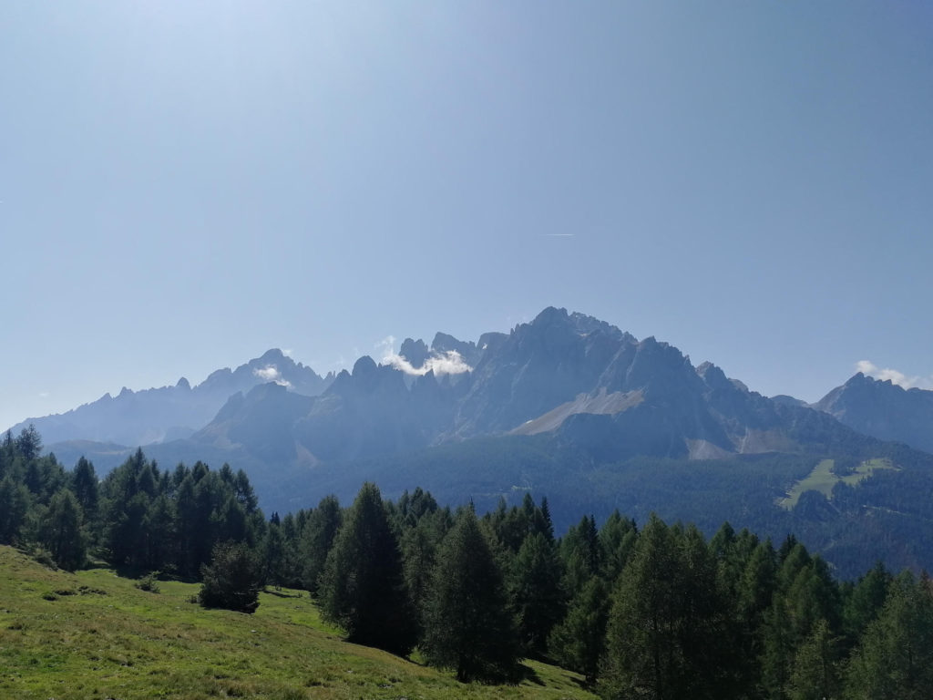
Hike between the border of Austria and Italy, staying at breathtaking Sillianer Hütte overnight.

Dolomite NightsAbove TreelineHut to Hut
2Days
25.5kmTotal Distance
3,782mTotal Ascent
3,787mTotal Descent
Grade 5Vertigo Scale

Tour Overview

DayRoute Distance Ascent Descent Duration
Day 1Day 116.1 km↑1,321m↓1,317m9h 30m
Day 2Day 29.4 km↑2,461m↓2,470m12h
Total25.5 km +3,782 m −3,787 m

Route Map

Loading Route & Elevation...

Description

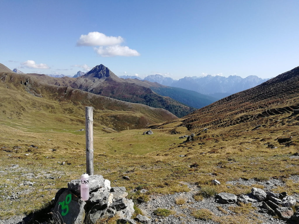
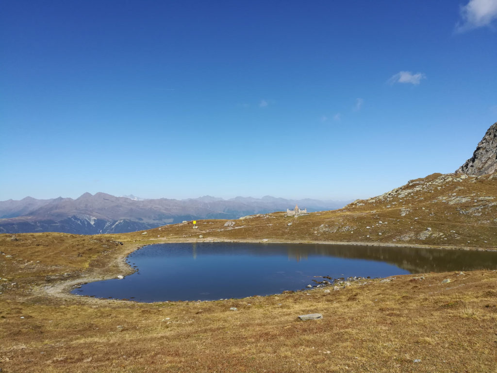
The hike starts in Sexten and follows small trails through pine forests up to Klammbach Alm. Afterwards you will ascent to the rim through alpine meadows and follow the rim until you reach Sillianer Hütte to spend the night. On day two you will continue to the mountain station of Helmbahn and follow narrow trails and unpaved forest roads until you reach Sexten.

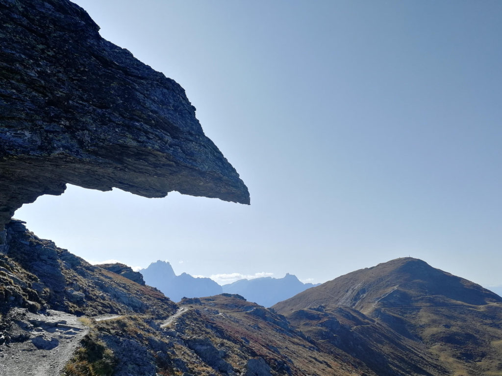
For those of you suffering from vertigo: The Demut passage right before Sillianer Hütte is a quite exposed, approximately 2 kilometer long part of the trail.

What to bring

Tips

Downloads

sillianer-huette-day1Download

sillianer-huette-day2Download

Places & Landmarks

FAQ

How difficult is the Sillianer Hutte loop?

Moderate. The 25.5 km route gains 1,250 m over two days, but the Demut passage right before the hut is a roughly 2 km exposed section that may challenge those with vertigo.

Can I do this hike in one day?

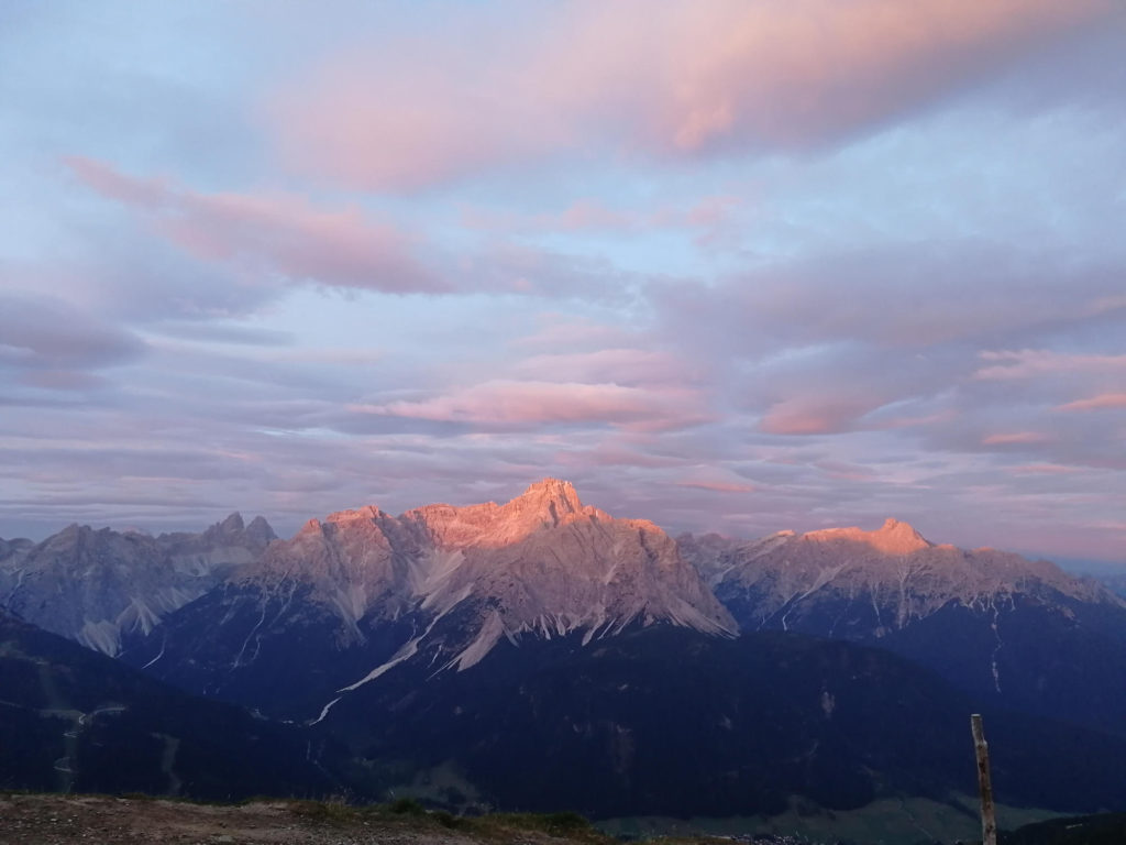
Yes, the loop can be done as a day hike. However, staying overnight at Sillianer Hutte is recommended for the sunset and sunrise views over the Dolomites.

Do I need to book Sillianer Hutte in advance?

Yes, book ahead if you plan to stay overnight. The hut was refurbished in 2018 and 2019 and serves excellent food, so it is popular in summer.
When is the best time to go?

July through September, when the alpine trails are clear of snow. Check local conditions before departure, as weather can change quickly at altitude.

Is the trail affected by closures?

The Stiergarten to Orto del Toro trail was closed at the time of writing. Follow the route to Klammbach Alm, then rejoin the documented GPX trail after the alm.

Day 1

Day 1

16.1 km ↑1321m ↓1317m
Loading Route & Elevation...
Day 2

Day 2

9.4 km ↑2461m ↓2470m
Loading Route & Elevation...