


Description
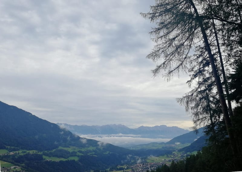
The Karwendelmarsch is an annual event that crosses the Karwendel Mountains from west to east, through the largest nature reserve in the Eastern Alps. It started in 1969 as a fundraiser for young Tirolean skiers and grew into Tirol’s largest sporting event before pausing in the 1990s. Since 2009 it has been organized again by the Achensee Tourist Board and Region Seefeld, and it sells out within hours every year. The field is limited to 2,500 participants.
The event offers two distances. The long route covers 52 km from Scharnitz to Pertisau am Achensee, gaining about 2,280 m. The shorter version, which this article follows, runs about 35 km from Scharnitz to Eng, gaining 1,275 m. Both share the same start and the same first section up the Isar valley.
The route leaves Scharnitz (967 m) at the Naturpark Info Center and climbs steadily through forest toward Karwendelhaus (1,771 m), the first hut and checkpoint. From there it descends to the Kleiner Ahornboden, a plateau of ancient maple trees at 1,399 m, then climbs again to Falkenhutte (1,846 m). Past the Falkenhutte, the trail continues to Eng (1,227 m), where the short route finishes.
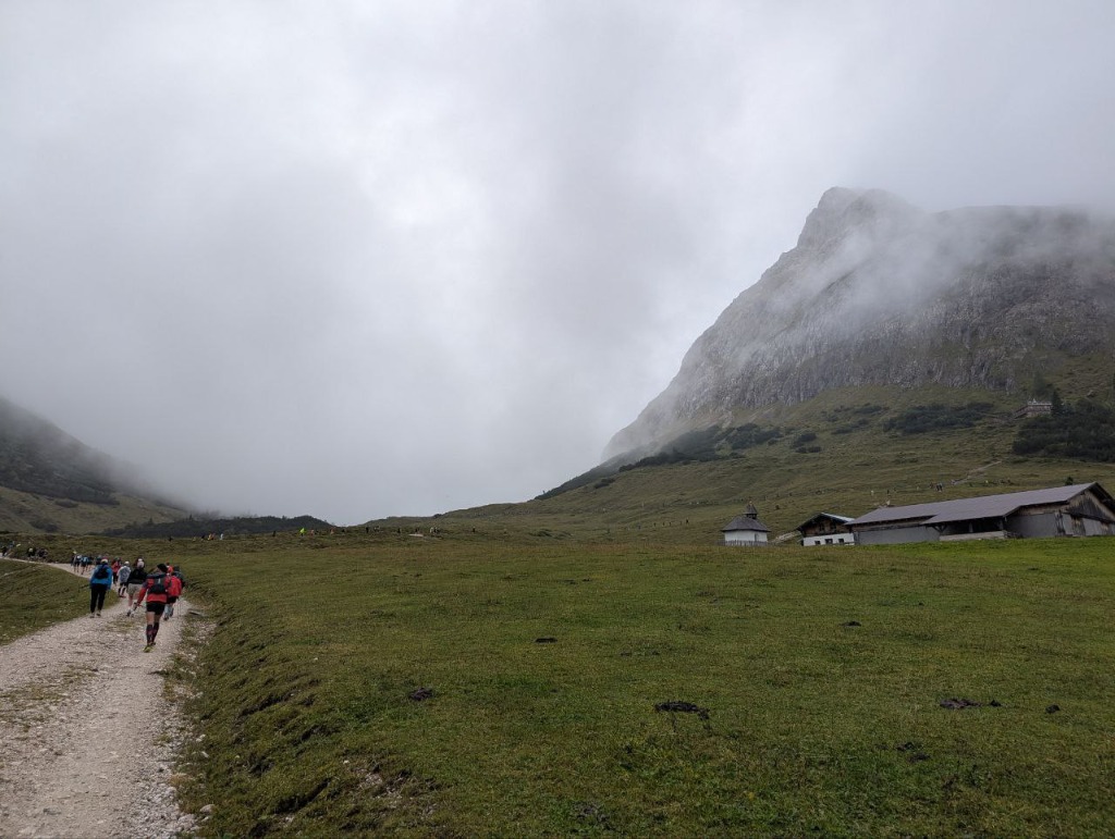
The terrain is mostly runnable trail and track, with sustained climbs and sections of rough limestone underfoot. In wet weather the rock gets slippery and progress slows. The route links huts and trail junctions rather than looping back, so it reads like a long traverse of the range rather than an out-and-back.
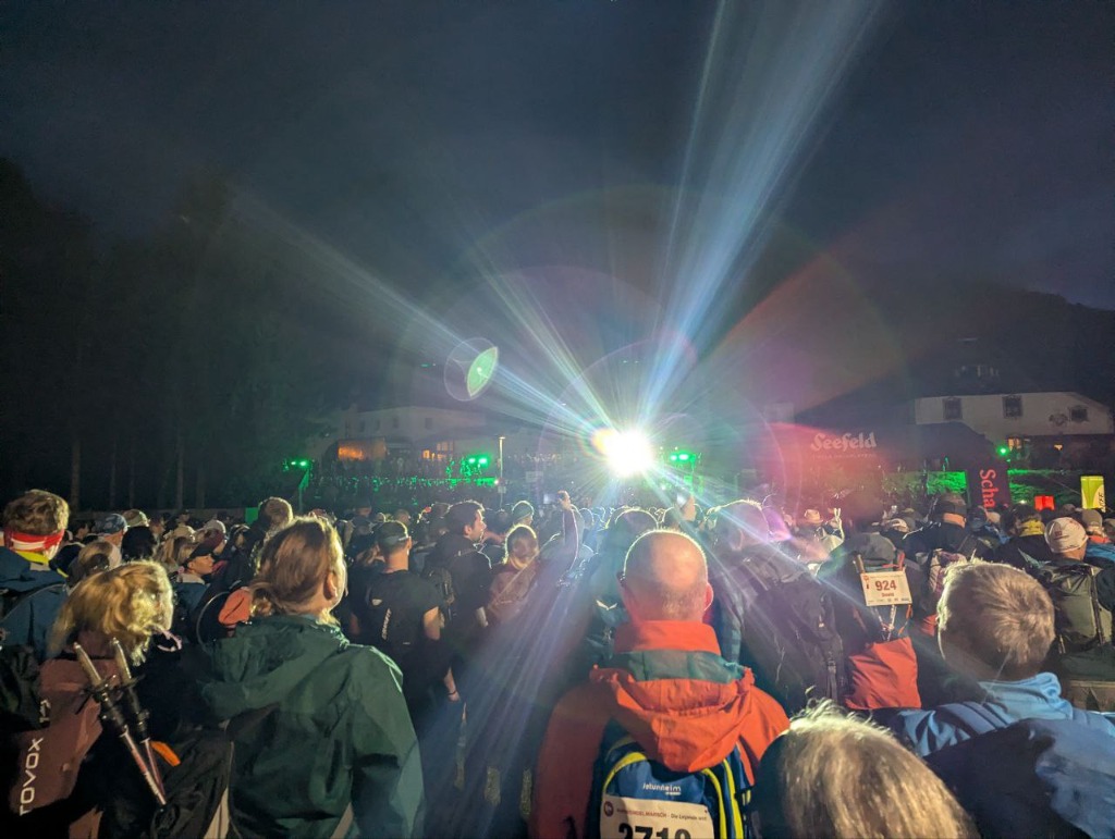
During the event, the start is at 6:00 AM in Scharnitz, with all participants heading into the mountains together. Cut-off times apply at Karwendelhaus (around 11:30) and at Eng (around 14:00). Ten aid stations along the route provide water and food. Luggage transport to the finish is included.
If you run the route outside the event, plan your finish and return in advance. The approach valley toward the Hinterautal is closed to public traffic, which affects pickup and shuttle plans. Huts along the route are useful for refilling water, eating, and resetting your pace, but check opening dates before you go.
What to bring
- Water and calories for a long effort
- Rain shell and warm layer
- Spare dry layer or socks in a waterproof bag
- Trail shoes with dependable grip on wet rock
- Phone with offline maps and a power bank
- Basic first-aid kit and blister care
Tips
- Plan end-to-start logistics before you go
- Start conservatively and save energy for the later climbs
- In rain, expect slick limestone and slower progress on rocky sections
- Use huts to refill, eat, and reset your pacing
- If conditions are uncertain, consider a shorter finish option
- For the event, register in December. It sells out fast.
Links
- Karwendelmarsch official event page
- Karwendelmarsch route details
- Seefeld tour entry (start in Scharnitz)
- Karwendelmarsch background (Achensee)
- ITRA listing
Downloads
karwendelmarsch-trail-run-day-1.gpx