Description
The Rota Vicentina is a long-distance trail network in southwestern Portugal, stretching over 750 km through the Alentejo and Algarve regions. The Fisherman’s Trail (Trilho dos Pescadores) is its most dramatic route: a coastal path that hugs the Atlantic cliffs from Porto Covo all the way to Cabo de São Vicente — the southwesternmost point of continental Europe.
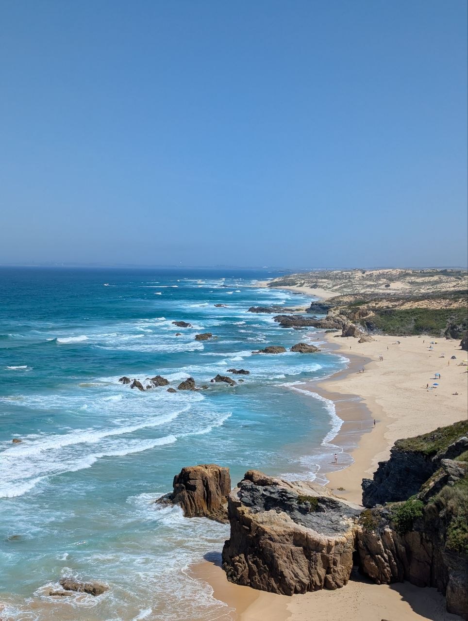
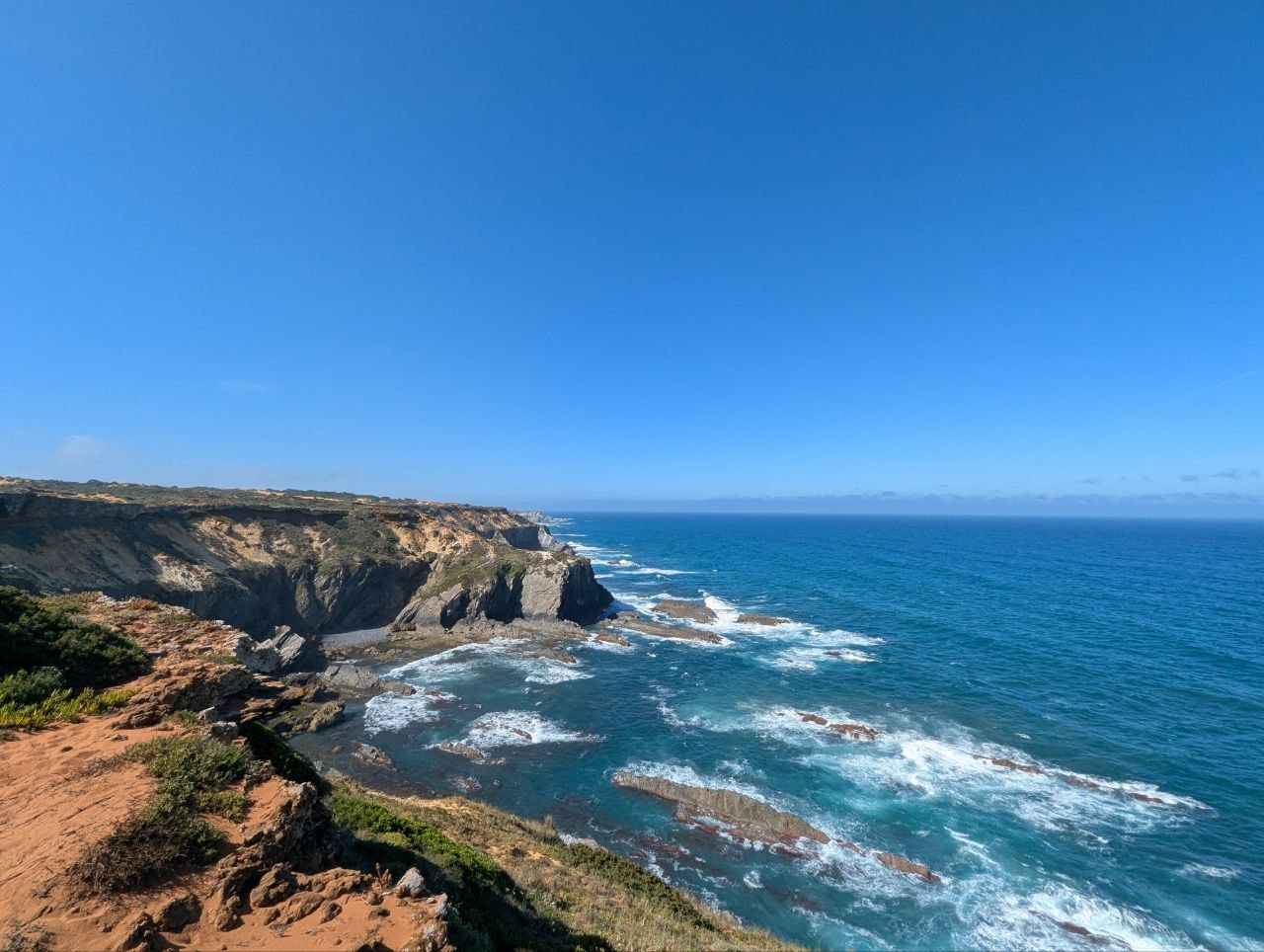
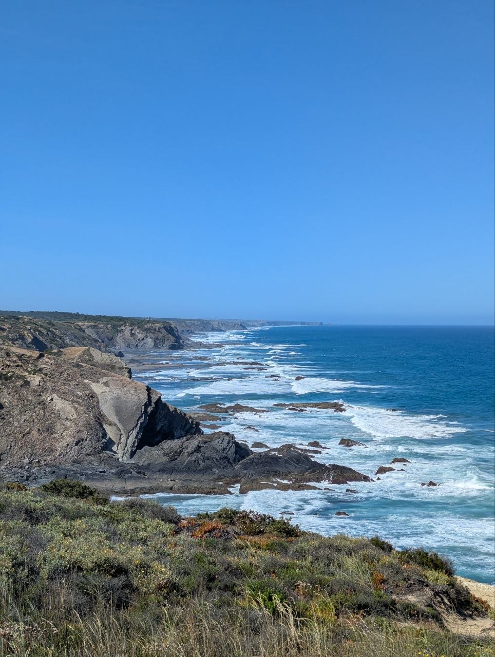
This 8-day trek covers roughly 162 km of the Fisherman’s Trail, starting in Porto Covo and finishing at Sagres. The route passes through some of the wildest and best-preserved coastal landscapes in southern Europe — long stretches of empty beaches, steep sandstone cliffs, hidden coves, and windswept headlands. The trail is part of the Parque Natural do Sudoeste Alentejano e Costa Vicentina, a protected area that keeps the landscape largely untouched by mass tourism.
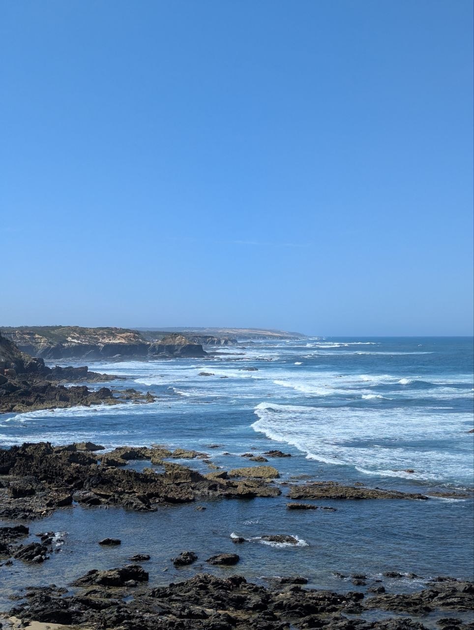
The terrain is varied. Some days follow wide dirt tracks through rolling farmland and cork oak groves close to the coast. Others stick tightly to the cliff tops, with steep descents to beach level and loose sand that slows pace significantly. The wind is a constant companion — sometimes a welcome cooling force, sometimes a relentless headwind that demands respect.
Day 1 starts in Porto Covo, a small whitewashed village on the clifftops, and heads south along the cliff edge to Vila Nova de Milfontes (19.1 km). The path drops to Praia do Malhão early on — a wide, genuinely remote beach — before continuing along the clifftops to the Mira River estuary.
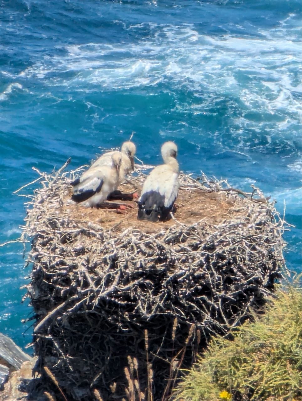
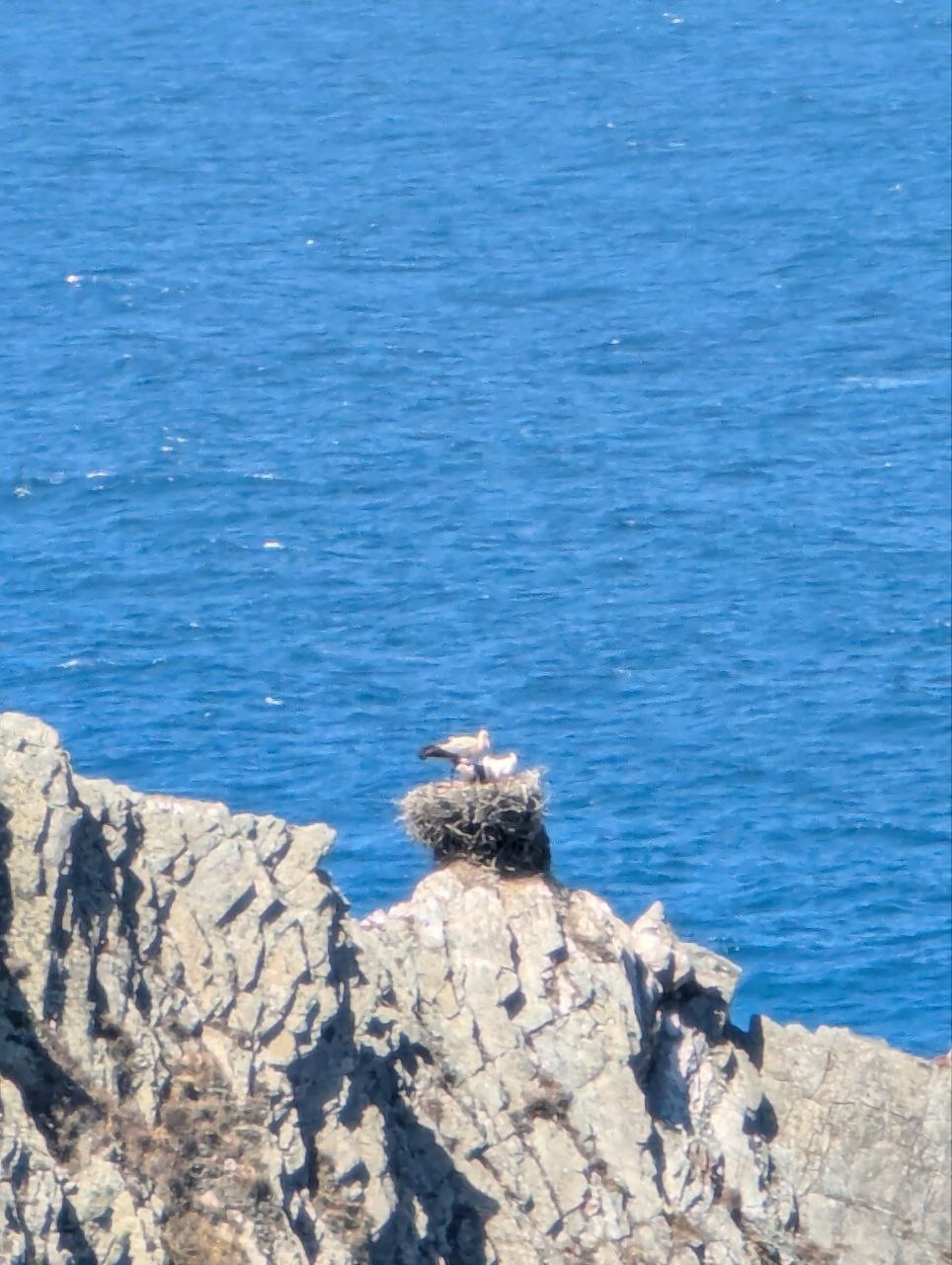
Day 2 is the shortest stage at 14.8 km, following the coastal plain from Vila Nova de Milfontes to Almograve. The landscape opens up with patchwork farmland and cork oak groves. Storks nest on rock pillars along the cliff edge. Almograve is a tiny fishing village with a sheltered bay and a handful of houses.
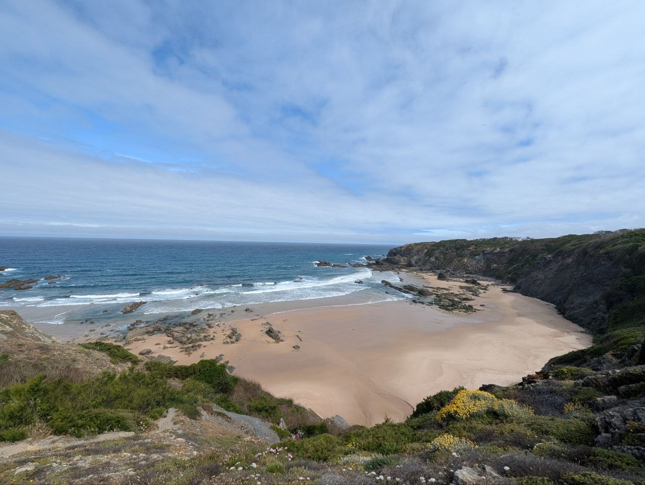
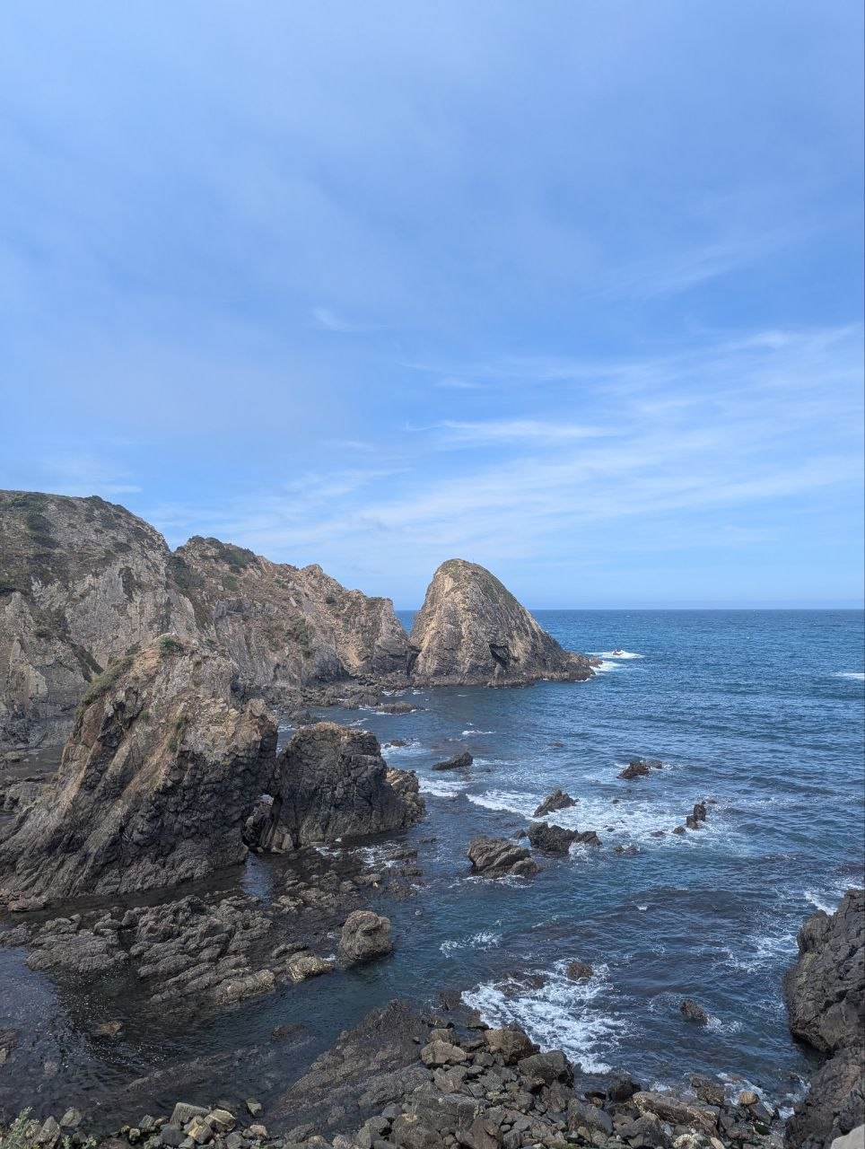
Day 3 (20.9 km) is the most demanding day so far, with nearly 500 m of ascent and a long stretch of loose sand. The trail passes Praia dos Alteirinhos and dramatic sandstone formations before descending to the beach and climbing back up to Zambujeira do Mar.
Day 4 is the hardest day of the northern section — 19.1 km with 653 m of ascent and 689 m of descent. The trail crosses the Ribeira de Aljezur valley and climbs to a ridge with views in both directions before dropping into Odeceixe, which sits right on the Alentejo-Algarve border.
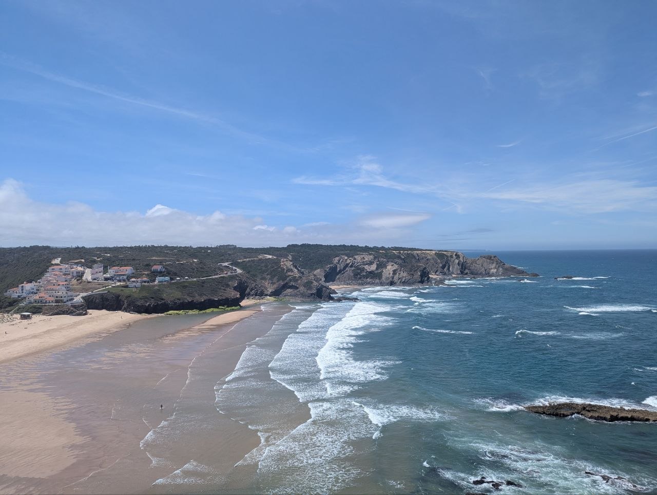
Day 5 (22.5 km) follows the coast south from Odeceixe, crossing the Ribeira de Seixe at the regional border. Praia de Amoreira is the halfway point — a wide bay with a small cafe. The final stretch follows the river inland to Aljezur, the first proper village with shops and restaurants.
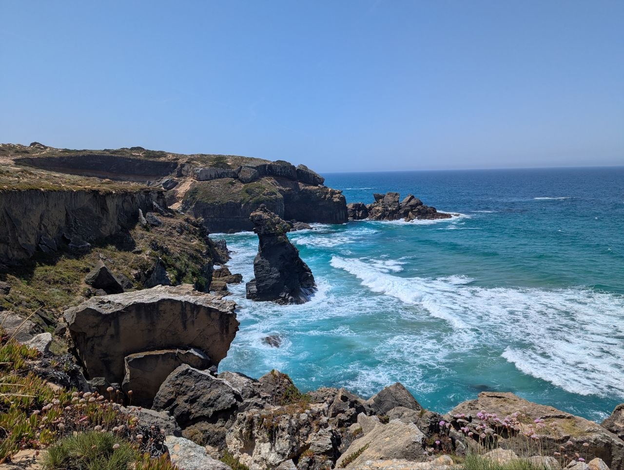
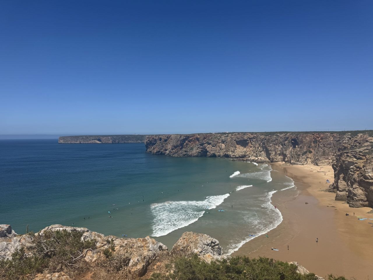
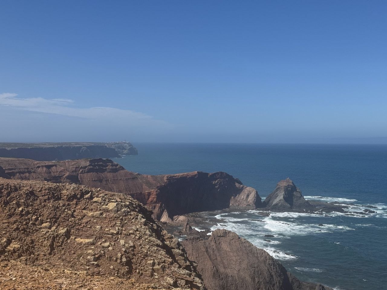
Day 6 is the longest and hardest stage: 29.2 km with 733 m of ascent, a lot of it on loose sand under the Algarve sun. The trail passes Praia da Arrifana and some of the wildest coastline on the route before reaching Carrapateira. Most hikers treat this as the test of the whole route.
Day 7 (16.0 km) is a recovery day after the monster stage. The cliffs are lower but the Atlantic is more exposed. Praia do Amado is the last real resupply point before Sagres. The approach to Vila do Bispo is gentle, through farmland and small vineyards.
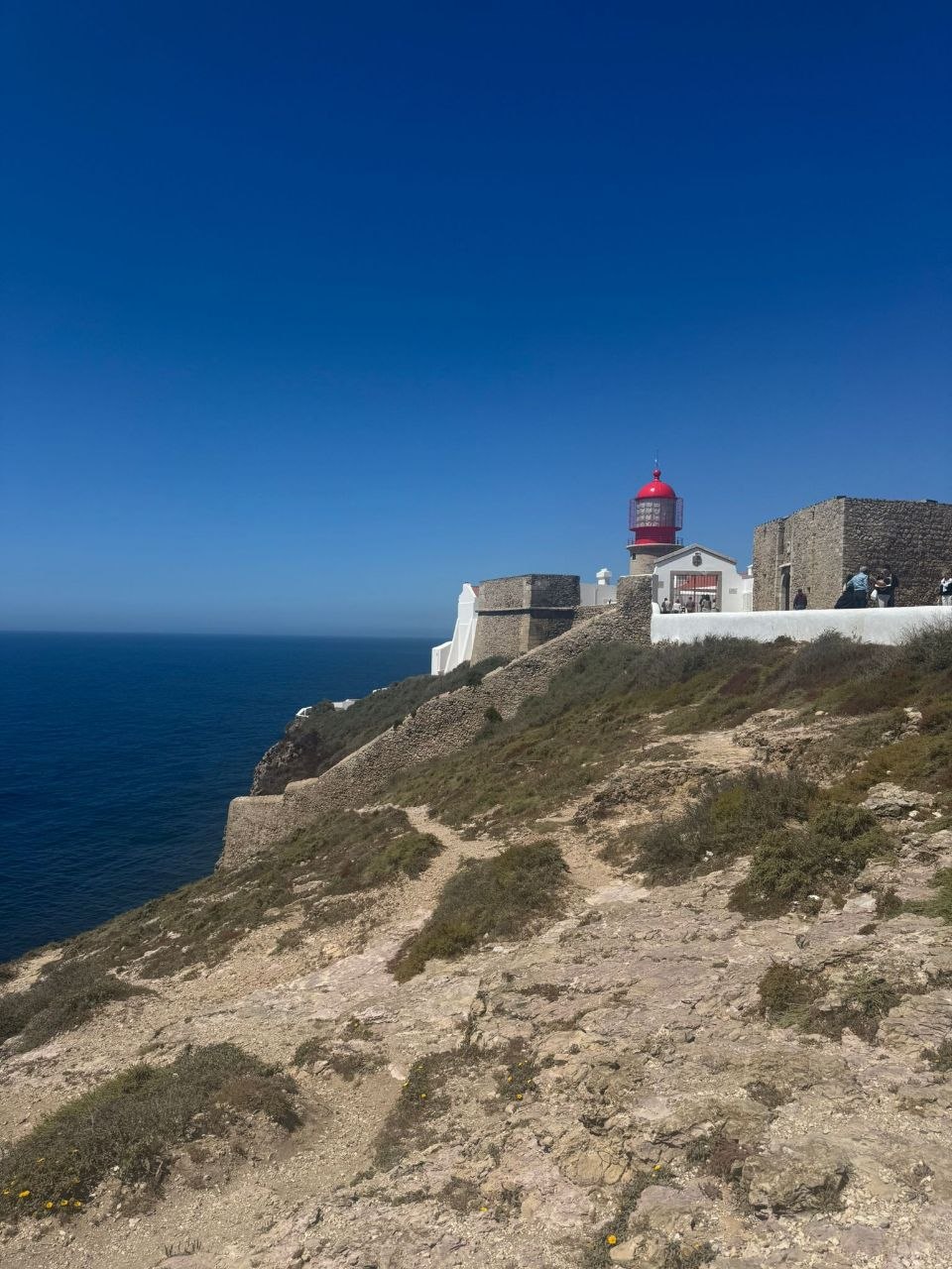
Day 8 is the final day — 20.0 km through the windswept landscape around Cabo de São Vicente. The lighthouse on the headland is visible for kilometres. From the cape it’s a short walk to Sagres, where the bus back to Lagos leaves from the waterfront.
Getting there
The route is accessed via Lisbon or Porto, both with good international flight connections.
From Lisbon: Rede Expressos buses run regularly to Porto Covo — the journey takes around 2 to 3 hours and departs from the Sete Rios bus station. For the return, multiple daily buses run from Sagres back to Lisbon, taking around 4 to 4.5 hours. There are also connections via Lagos, which has more frequent service.
From Porto: Porto is closer to the trailhead and well worth considering as an arrival point. Trains run from Porto to Porto Covo (around 4.5 hours, change at Setúbal or Entroncamento). Rede Expressos buses also serve the route. From Sagres back to Porto, the bus journey takes around 5.5 to 6 hours.
The Sagres bus station is a short walk from the waterfront.
Accommodation
Accommodation along the route is in small guesthouses, hostels, and rural pensions — often family-run places with shared spaces and local character. Bedding is normally provided. These are not luxury places, but they have a warmth and authenticity that fits the landscape. Book ahead in peak season (April-June) as many places are small and fill up.
What to bring
- Sturdy hiking boots with good ankle support — sand and uneven terrain are constant companions. Some hikers prefer trail running shoes, which are lighter and easier to empty of sand.
- Sun protection: hat, sunscreen, sunglasses — exposed coastal sections offer almost no shade
- Windbreaker or light shell — the Atlantic wind is persistent
- 2-3 liters of water per day — resupply options are limited on some stages
- Trekking poles — helpful on sandy sections and steep descents
- Headlamp — not essential in June (roughly 6am to 10pm daylight), but worth carrying if you’re hiking in September or October when days are shorter
Tips
-
Best season: March to May or September to November. Summer (June-August) can be very hot. We hiked in late May/early June and had warm days with cool coastal breezes — good timing, though pushing it.
-
Sand is a real factor. Extended sections run through loose sand, which slows pace significantly and is physically draining. Budget extra time on coastal days, and consider gaiters.
-
Day 6 (Aljezur to Carrapateira, 29 km) is the longest and hardest stage. The combination of distance, sand, and sun exposure makes it a real test. We did it in one go, but splitting it is sensible if you prefer shorter days.
-
Water planning matters. Carry enough for the full day. Some coastal stretches have no shops or fountains for 15-20 km.
-
Navigation: The trail is generally well-marked with blue/green blazes, but some coastal sections can be unclear in fog. We carried a GPS track as backup.
-
Luggage transfer: If you prefer to hike with a daypack, several services offer luggage transfer between stages.
-
Wildlife: The coastal cliffs are nesting grounds for white storks — we spotted several nests perched on narrow rock ledges. Keep your eyes open.
Links
- Rota Vicentina Official Website
- Rede Expressos — Bus Timetables & Tickets
- Fisherman’s Trail - Complete Guide 2025
- The Fisherman’s Trail, Portugal - 2026 Walking Guide
- Rota Vicentina - Budget Bucket List
- Rota Vicentina on AllTrails
Downloads
- Full Route GPX - 8 days, 162.5 km
- Day 1 GPX - Porto Covo to Vila Nova de Milfontes (19.1 km)
- Day 2 GPX - Vila Nova de Milfontes to Almograve (14.8 km)
- Day 3 GPX - Almograve to Zambujeira do Mar (20.9 km)
- Day 4 GPX - Zambujeira do Mar to Odeceixe (19.1 km)
- Day 5 GPX - Odeceixe to Aljezur (22.5 km)
- Day 6 GPX - Aljezur to Carrapateira (29.2 km)
- Day 7 GPX - Carrapateira to Vila do Bispo (16.0 km)
- Day 8 GPX - Vila do Bispo to Sagres (20.0 km)