



Description
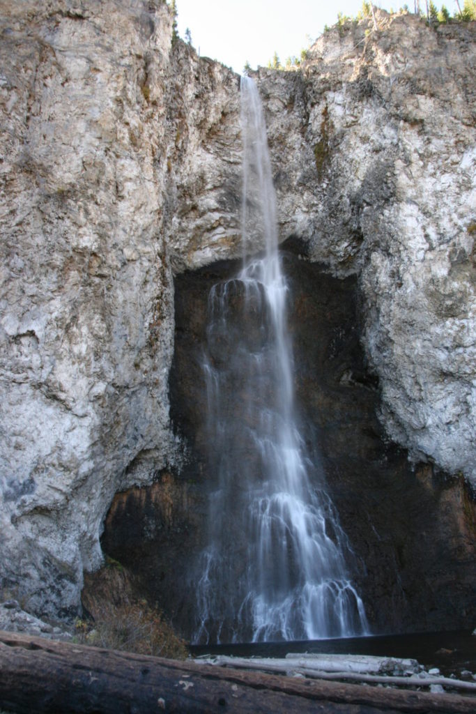
Fairy Falls is a 61 m waterfall on Fairy Creek, dropping over a lava flow edge into a small clearing surrounded by young lodgepole pine forest. The trail to reach it is flat, easy, and one of the more popular day hikes in Yellowstone National Park. The route described here combines a short bike ride on a closed gravel road with the hike to the falls, which works well because the approach road is closed to private vehicles.
There are two main starting points. The first is the Fairy Falls Parking Lot, located about 1.6 km south of Midway Geyser Basin on the Grand Loop Road. The second is the end of Fountain Flat Drive, which adds a bit of distance but tends to be less crowded. Parking is very limited at both, especially by mid-morning in peak season, so arriving early is worthwhile. The trail also serves as the access to the Grand Prismatic Spring Overlook, which has drawn even more traffic since the park built an official overlook trail in 2017 to replace the informal paths up the hillside.
From the trailhead, the path travels through young lodgepole pine forest that regenerated after the 1988 fires. The terrain is nearly flat for the first 2.6 km to Fairy Falls. Just before the falls, a short side trail climbs to the Grand Prismatic Spring Overlook, a 0.8 km spur that gains about 32 m and gives a view down onto the spring and Excelsior Geyser crater. This is where most day visitors turn around.
Continuing past the falls, the trail runs another 1 km to Spray Geyser and Imperial Geyser. Imperial is a large, active geyser in an open meadow, and Spray Geyser sits a short distance to the east along a wide runoff channel. This extension is worth the effort if you have time, since far fewer people hike beyond the falls.
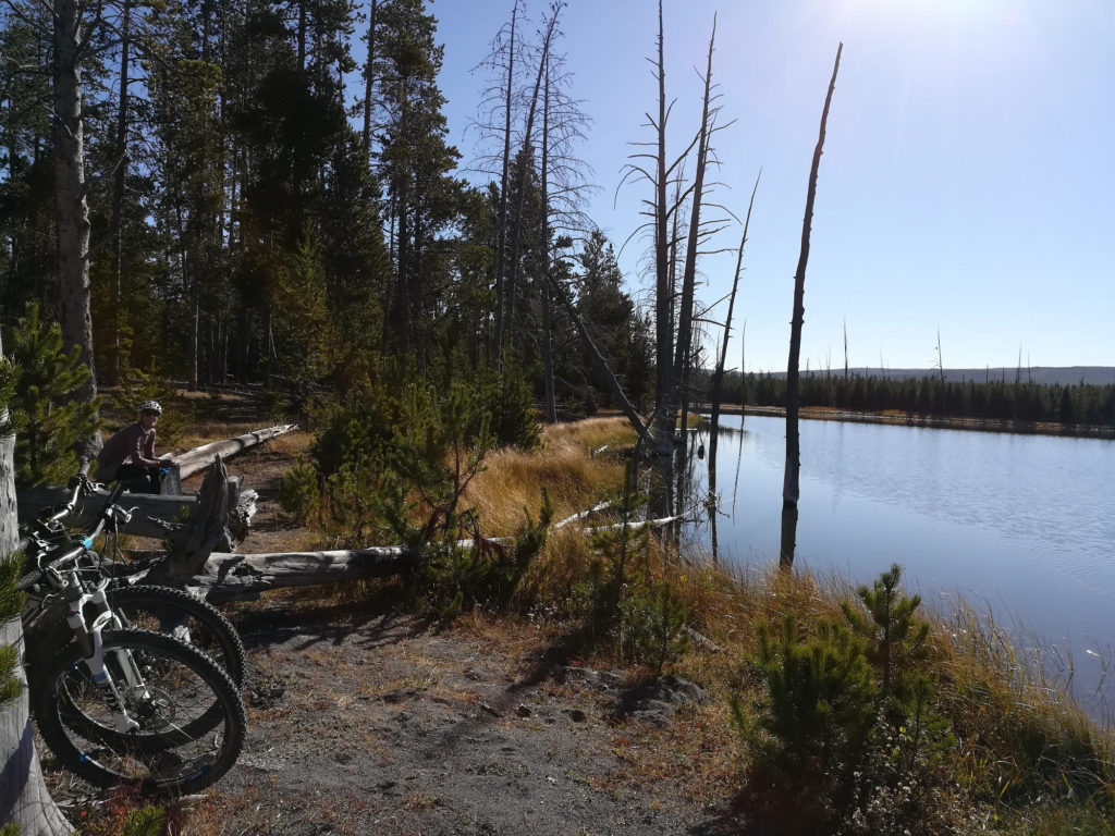
For the bike-and-hike version described here, you ride the gravel Fountain Flat Drive and other closed roads until the point where bikes are no longer allowed, lock up, and continue on foot. The gravel road is well maintained and suitable for any bike. You pass Goose Lake, a quiet spot popular with backcountry campers, and several thermal features along the way. The hiking path leads through pine forest and is very popular in high season.
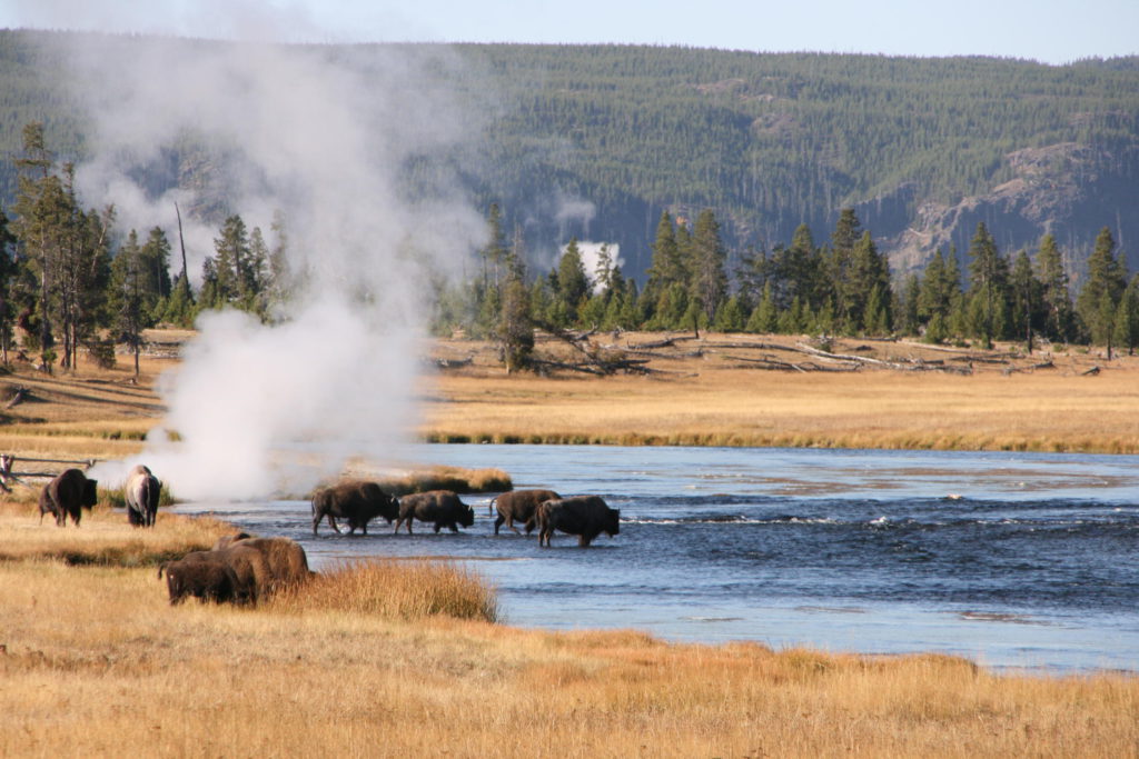
Bison are frequently present in the meadows along the approach, sometimes blocking the trail. Give them plenty of room, at least 23 m, and wait for them to move on. The area is also bear country, though grizzly encounters on this trail are less common than on the more remote Yellowstone routes. Carry bear spray regardless.
The trail is open from late spring through fall, snow permitting. Summer is the busiest time. The Falls themselves flow year-round, but access depends on road and trail conditions, which the park updates regularly.
The 1988 fires that burned roughly a third of Yellowstone reshaped the forest along this route. The lodgepole pines you walk through are mostly young, dense trees that grew from seeds released by the heat of the fire. The stands are thick and even-aged, which is typical of post-fire lodgepole regeneration. In places you can still see standing dead snags from the original forest, bleached and stripped of bark, leaning among the new growth.
Goose Lake, passed on the bike approach, is a popular backcountry campsite and a quiet spot to stop. The lake sits in a shallow depression surrounded by young forest and has a small designated camping area. Fairy Meadows, the other backcountry campsite along the route, sits further along the trail in a stand of mature pines that survived the fire. Both require backcountry permits from the park.
What to bring
- Bike and Hike essentials
- A lock for your bike as you cannot take it with you on the hike
Tips
- When choosing your shoes, consider that you have to bike and hike in them. Cycling shoes with cleats may not be the right choice.
- You can also do just the hike. There is a parking lot close-by.
- There are two tent campsites on the way. One is located at beautiful Goose Lake. The other one is Fairy Meadows, located in the middle of pine trees.
- Parking fills by mid-morning in summer. If the Fairy Falls lot is full, try Fountain Flat Drive as an alternate start.
- Bring water. There are no reliable treated water sources along the trail, and thermal runoff streams are not safe to drink from.