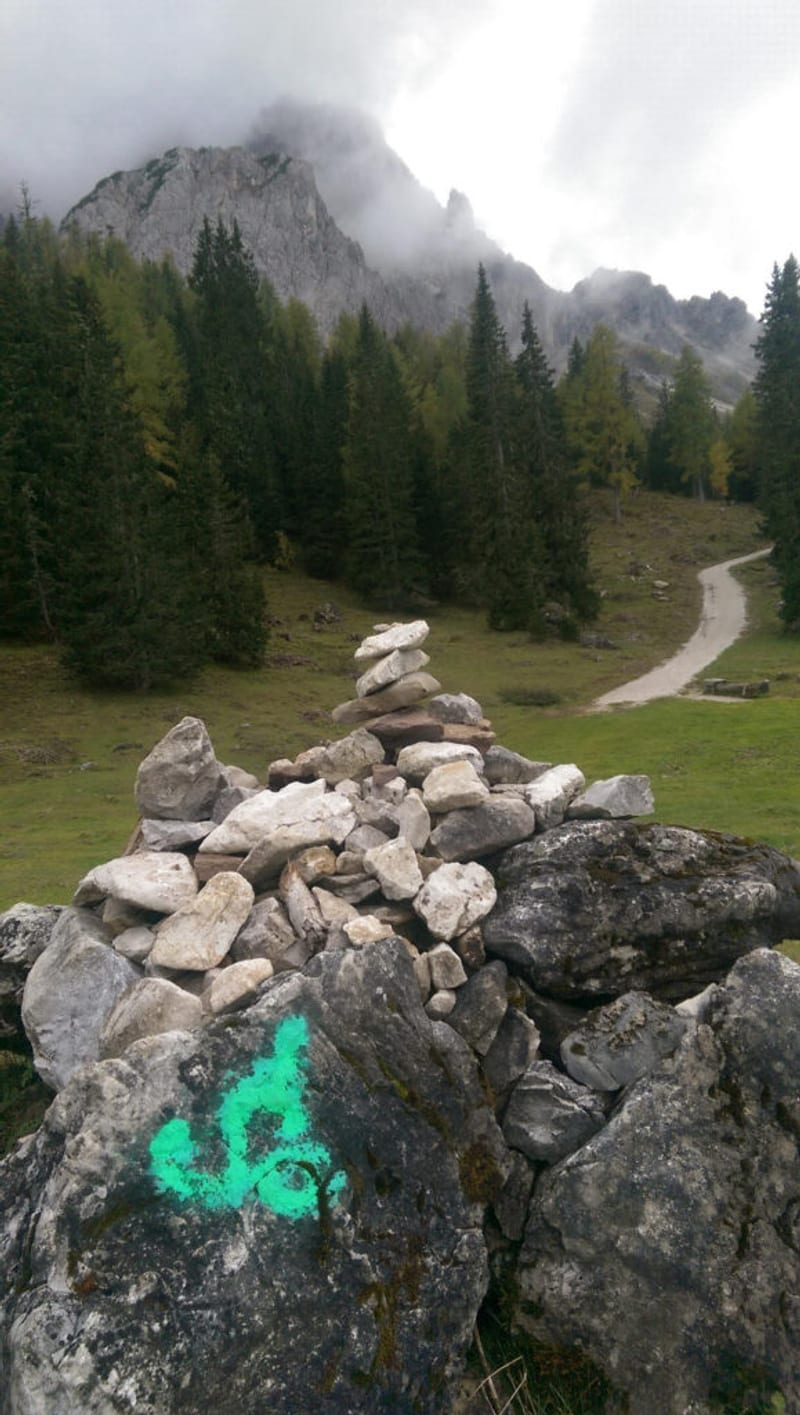




Description
Signal Mountain stands apart from the main Teton Range, rising as a lone forested peak on the east side of Jackson Hole. The paved Signal Mountain Road climbs roughly 300 m over about 8 km of switchbacks to a summit overlook at 2,315 m. Starting either from the Signal Mountain Campground or the Signal Mountain Lodge parking lot on the shore of Jackson Lake, the road winds up the mountain at a fair inclination, neither too steep nor too flat. The route is fully paved, which makes it suitable for road bikes as well as hybrids and gravel bikes.
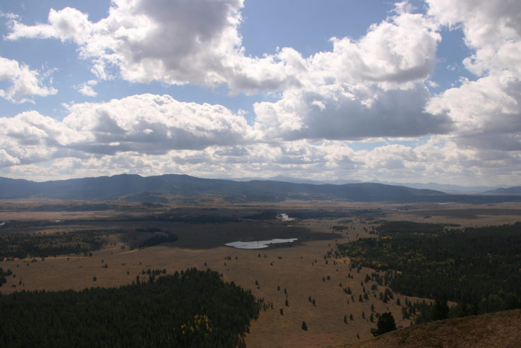
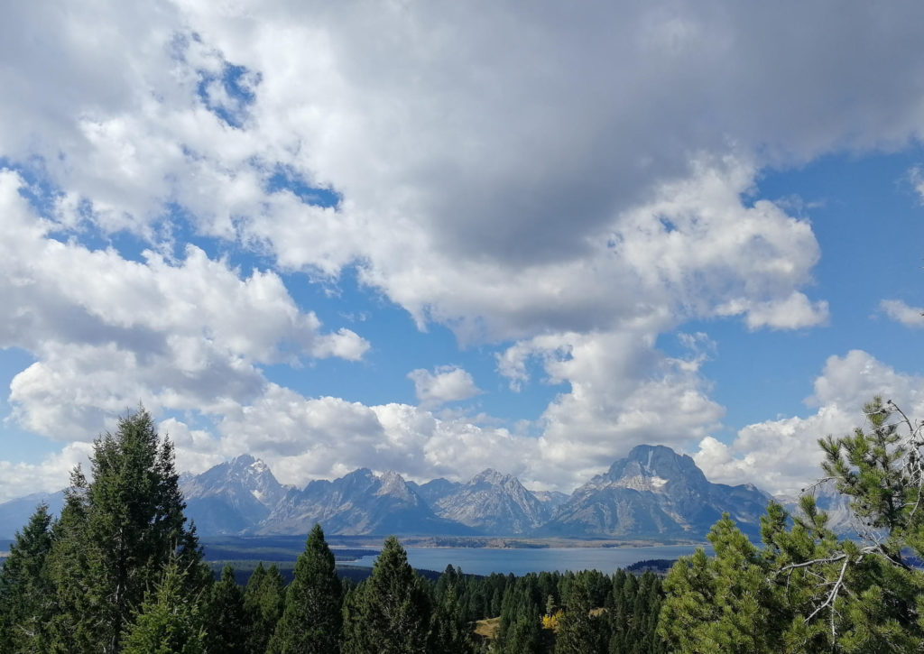
The ride begins on Teton Park Road before turning onto the Signal Mountain Road, which is closed to trailers and RVs. The road climbs steadily through lodgepole pine forest with occasional openings that frame views back toward Jackson Lake and the Teton Range. As you gain elevation, the canopy thins and the panorama widens. Near the top you reach the Jackson Point Overlook, the official destination for the road and trail. From here the view sweeps across Jackson Hole, the Snake River, the Gros Ventre Mountains, and the full line of the Teton peaks, with Mount prominent to the northwest. Golden eagles and red-tailed hawks often ride the thermals along the summit.
Signal Mountain is named for a grim chapter in local history. In August 1890, Robert Ray Hamilton, great-grandson of Alexander Hamilton, disappeared on a hunting trip in the area. Search parties were told to light a signal fire on the summit when he was found. His body turned up a week later in the Snake River. The Jackson Point Overlook is named for William Henry Jackson, the photographer on the 1871 and 1878 Hayden Geological Surveys, who took the first photographs of the Tetons from this vantage.
Wildlife is common on the lower slopes, particularly moose near the small ponds and wetlands along the base. Mule deer and black bears also move through the area, especially in early morning and evening. Carry bear spray even on a road ride, since bears cross the pavement regularly.
The Signal Mountain Campground sits at the base of the mountain, and the Signal Mountain Lodge sits on the shore of Jackson Lake. Both are convenient bases if you want to ride early before traffic builds. The lodge has a general store where you can pick up snacks and water. There is no water available along the road itself once you leave the lake area, so fill up before you start climbing.
The summit area has a parking lot and a short paved loop with interpretive signs. On a clear day you can see the full extent of Jackson Lake to the north, the Snake River winding through the valley, and the Absaroka Range to the east. The view of the Teton Range from here is different from the classic valley floor perspective, since you are looking across at the range from a height rather than up at it. Early morning light hits the Tetons from the east, which is the better time for photos, while late afternoon puts the range in shadow.
The road is open from approximately May through October, weather permitting. Summer afternoons can be hot and exposed on the upper switchbacks, so an early start is a good idea. The road is wide enough to comfortably bike even with moderate car traffic, and drivers are generally accustomed to cyclists. An entry pass for Grand Teton National Park is required.
What to bring
- Bike and Hike essentials
- Bear spray
Tips
- This tour can also be done with a road bike as the whole way up to the top is paved. The road is wide enough to comfortably bike up even with the not-too-bad car traffic.
- If you decide to hike up Signal Mountain you can alternatively use the hiking trail, which is shorter and provides a better nature experience. The hiking trail starts near the Signal Mountain Lodge and forms a loop of about 10.9 km round trip, crossing through forest and open sagebrush meadow. See the NPS information.
- Start early in summer. The upper road has little shade, and afternoon thunderstorms are common in July and August.
- The overlook at the top is the official end point. The true summit of Signal Mountain sits a short distance further and slightly higher, but the road and trail end at Jackson Point.