



 Duration
Description
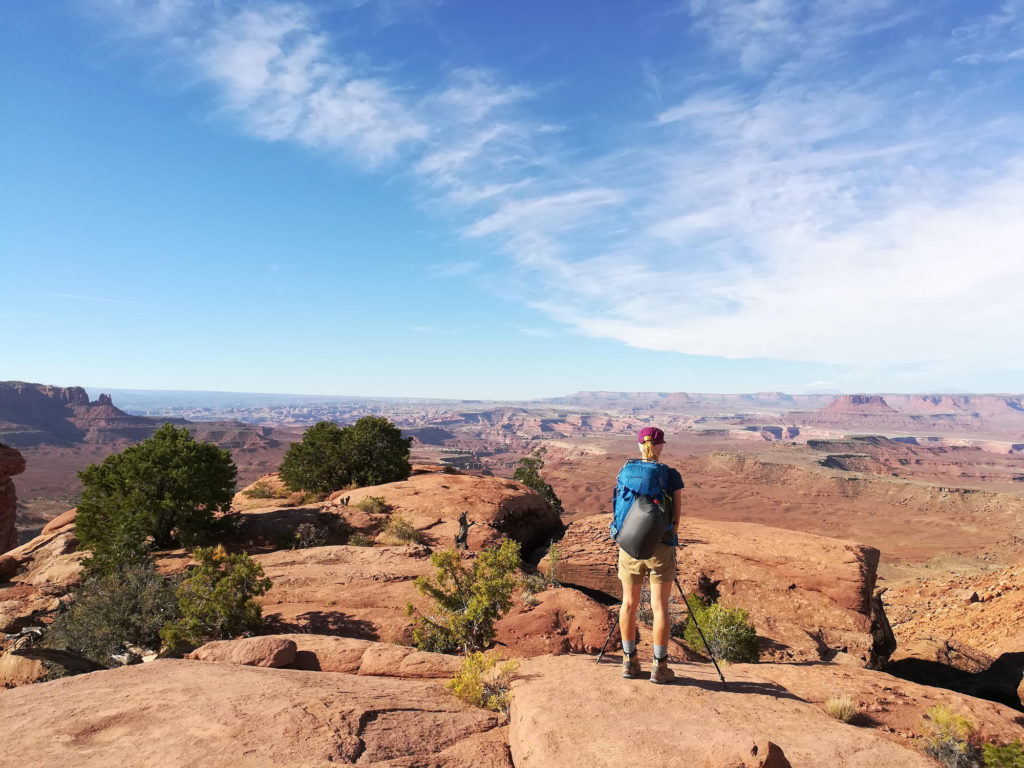
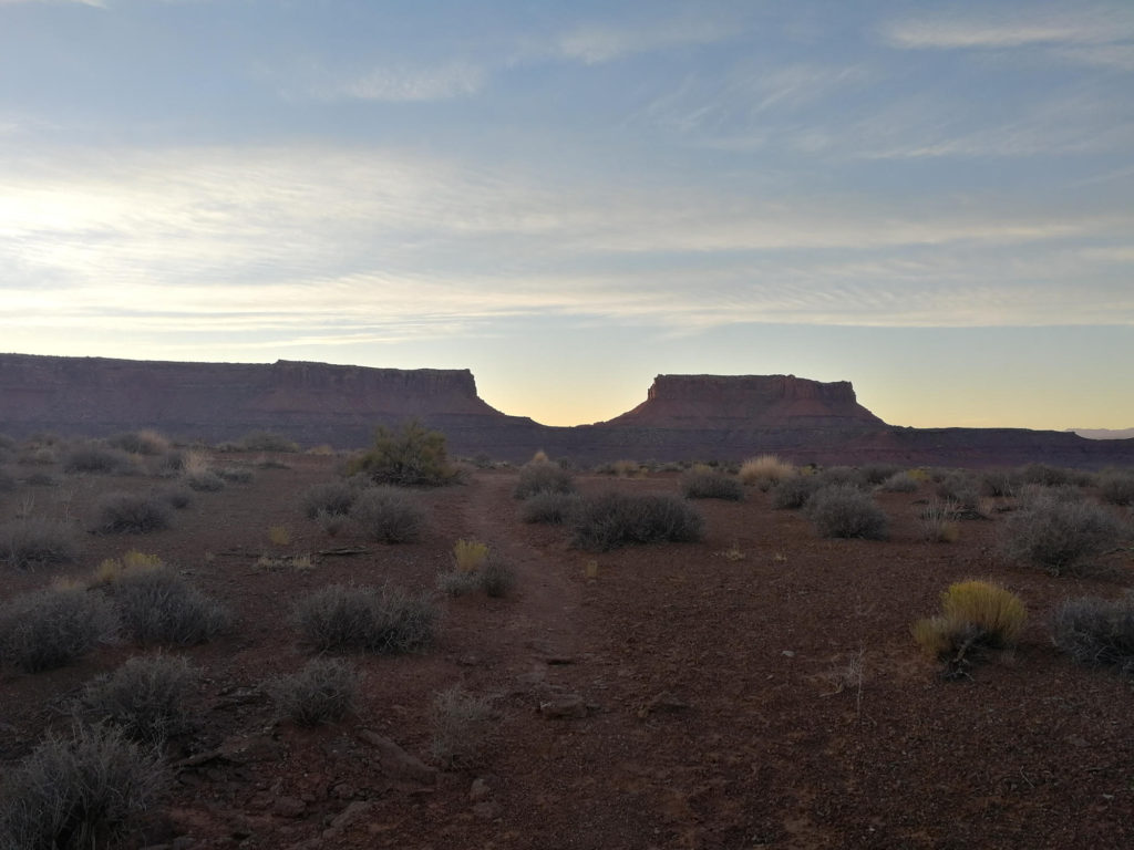
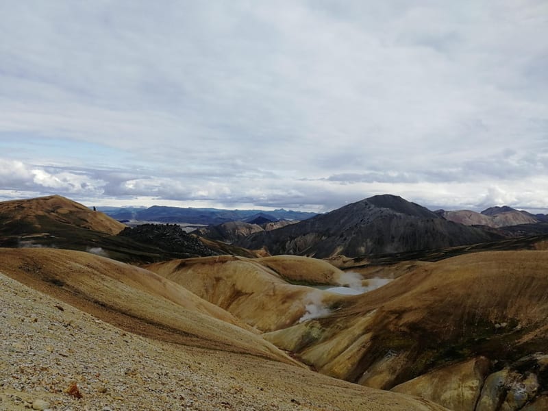
The Murphy Trail in Canyonlands is part of the ‘Island in the Sky’ region. It starts at the mesa top and descents down into the canyon to the Murphy Hogback. The trail is quite diverse, with sections of deep sand, bare rock, loose rock, sand crusts and desert plants. The walk is quite strenuous due to the heat, low humidity and the weight of the water you have to bring.
For those of you suffering from vertigo: The descent into the canyon starts after approximately 2 kilometers. At the rim of the canyon you will have the impression that it is very exposed as the trail below is not visible. But, in fact, no part of this trail is exposed and once you have managed the first 5 minutes you can see the trail winding down the canyon.
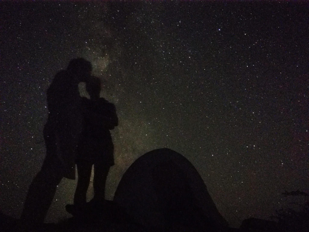
The night sky is a great experience not to be missed. The visibility at night is very good due to the low light-pollution and low humidity. Also smaller objects can be detected as scintillation is almost non-existent. A special highlight is the milky way.
What to bring
- Bike and Hike essentials
- Bring 4 liter of water per person per day. We didn’t use all of it, but it was good to have some extra in case of emergencies. You can buy the tanks to store the water at any larger supermarket chain. Just be aware that 4 liter of water per day add a signifiant amount of weight to your backpack.
- Bring the right clothes for your adventure. In the desert it is very hot during the day (around 30°C during summer) and can be chilly at night (around 15°C during summer).
Tips
- You can do the trail also as a day-hike.
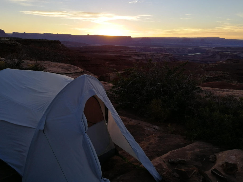
- There is one official backcountry camp site that needs to be booked beforehand. Wild camping is allowed inside the canyon on bare stone or in sandy washes. It is not allowed on biological soil crusts, as these features are needed to control erosion by keeping the soil stuck together in one continuous crust. All up-to-date information can be found at the official National Park Homepage.
- The park visitor center will issue the backcountry permit needed for overnight-stays in the canyon. Reservations are possible.
- Watch your step when moving through the desert. Footprints destroy the soil crust. It can take decades until it recovers.