



Description
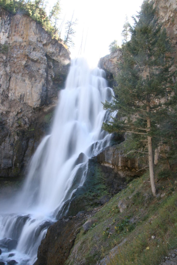
Osprey Falls is a 46 m waterfall on the Gardner River, located at the bottom of Sheepeater Canyon, one of the deepest canyons in Yellowstone National Park. The canyon walls are formed by a lava flow, and the falls plunge over the edge of that flow into a basalt gorge. The hike to reach them is quiet and sees relatively little traffic compared to the main geyser basins, which makes it a good choice if you want to get away from the crowds for a few hours.
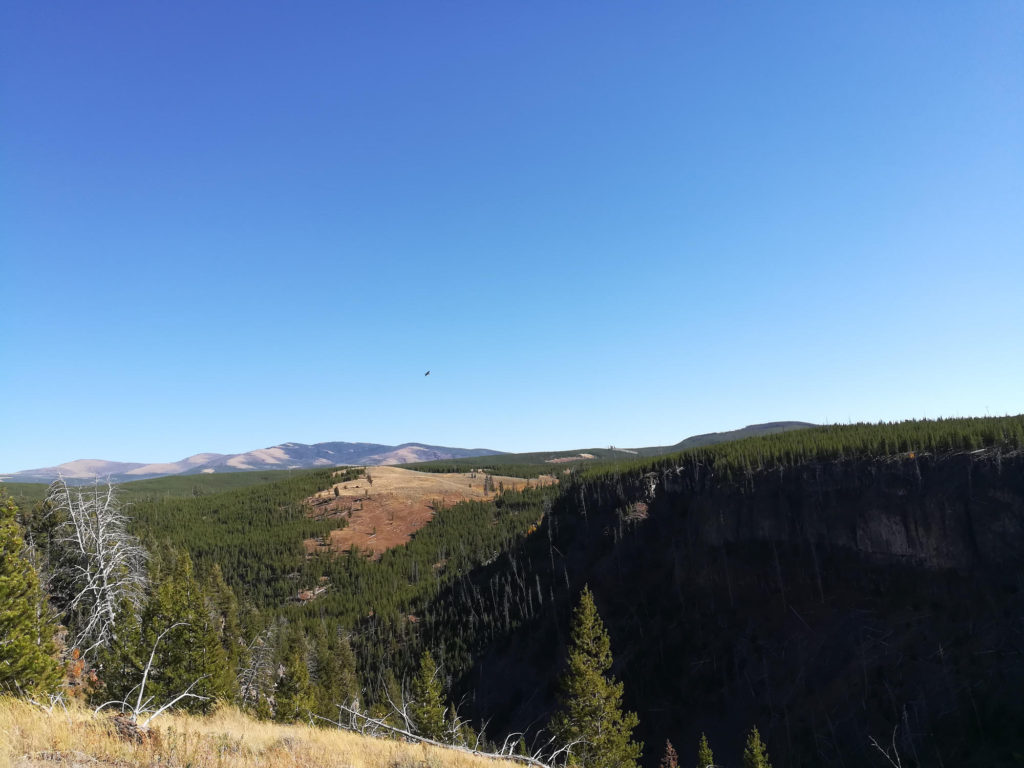
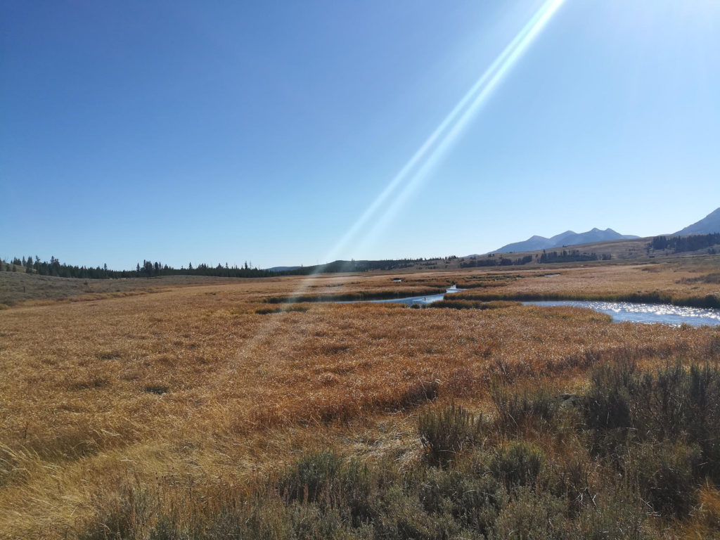
The trailhead is located about 8 km south of Mammoth Hot Springs on the Grand Loop Road. Park in the gravel lot just south of Golden Gate, across from the Glen Creek trailhead. From the parking area, follow Old Bunsen Peak Road, a gravel road closed to private vehicles but open to hiking and biking. The road skirts the base of Bunsen Peak for roughly 4.9 km through grassland and burned forest that is slowly regenerating. The road is well maintained and perfect for mountain biking, with a gentle grade and good sightlines.
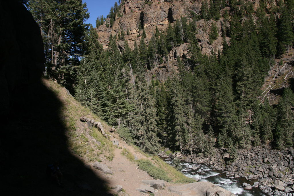
At the end of the gravel road, a sign marks the start of the Osprey Falls Trail. Lock your bike here, because bikes are not allowed on the hiking trail. From this point the route changes character entirely. The trail drops roughly 213 m into Sheepeater Canyon on a series of narrow, rocky switchbacks. The descent is short but steep, and the footing can be loose in places. At the bottom, the trail reaches the Gardner River and the base of Osprey Falls. The canyon walls rise steeply on both sides, and the falls are the obvious centerpiece.
Return is by the same route, which means you climb back out of the canyon and then ride the gravel road back to the trailhead. The climb out of the canyon is short but strenuous, and the bike ride back is mostly downhill or flat if you came from the Golden Gate side.
Mountain goats are sometimes seen resting on the cliffs of the canyon, and the area is frequented by grizzly bears, particularly in spring and early summer when the burned slopes produce new growth. Carry bear spray and make noise, especially where the trail is narrow and visibility is limited.
The trail is generally open from late spring through October, depending on snow and bear management closures. Check current trail conditions before heading out, since the park sometimes closes the route due to bear activity.
Bunsen Peak, which the gravel road circles, is a volcanic cone named for Robert Bunsen, the German chemist whose work on geysers influenced early Yellowstone science. The peak itself can be summited via a separate trail that branches off Old Bunsen Peak Road, and many hikers combine the summit with the Osprey Falls descent into a longer loop. If you do the full loop, the route continues past the falls trail junction, over the top of Bunsen Peak, and back down to the highway, where you turn left to return to the parking lot. This adds distance and elevation but makes for a more complete day out.
The Gardner River below the falls runs cold and clear, fed by snowmelt and thermal inputs from upstream. The canyon walls are dark basalt, and the rock is slick when wet. There is no maintained trail along the river beyond the falls viewpoint, and the banks are tangled with downed trees and loose rock. Turn around at the falls rather than trying to push further down the canyon.
What to bring
- Bike and Hike essentials
- Bear spray
- Lock for your bike
- Bring shoes you can bike and hike in
Tips
- This trip is perfect if you want to escape the crowds of Yellowstone National Park for a day. After 10 minutes of walking, you’ll be alone.
- Look for mountain goats resting in the cliffs of the canyon.
- You can also finish the loop around Bunsen Peak by continuing to follow the Yellowstone Osprey Falls Trail until you reach the highway. Then head left until you reach the parking lot.
- There is parking at the trail head, in the gravel lot just south of Golden Gate.
- Carry water for the full out-and-back. There is no reliable water source along the gravel road, and the Gardner River at the bottom is not safe to drink from without treatment.
- The descent into the canyon is steep and rocky. Trekking poles help on the way back up.