



 Duration
Description
The SignaTUR Stølsheimen is a DNT-certified long-distance hike of 115 km in 9 stages, running from Mo i Modalen to Voss through the Stølsheimen protected landscape area in Vestland county. The route is graded “svært krevende” (demanding) by DNT, with individual stages rated between red and black difficulty. Our GPS-recorded distance was 123.1 km with 8,185 m of total ascent.
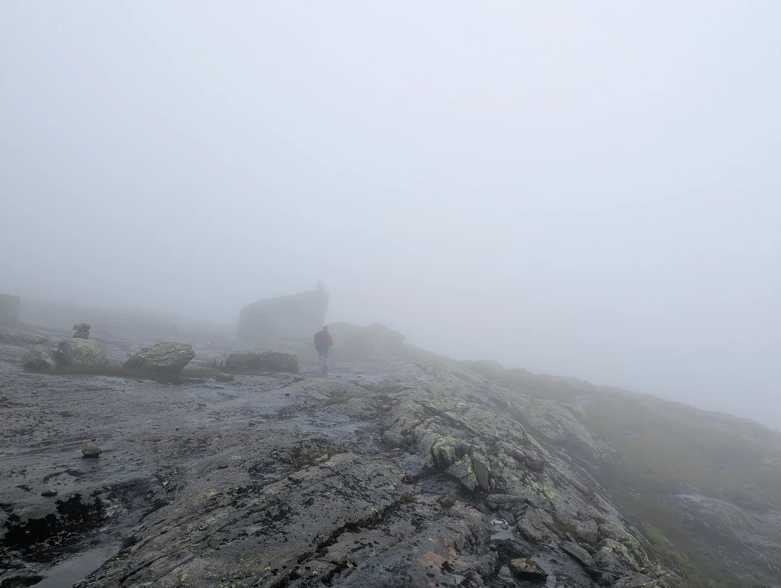
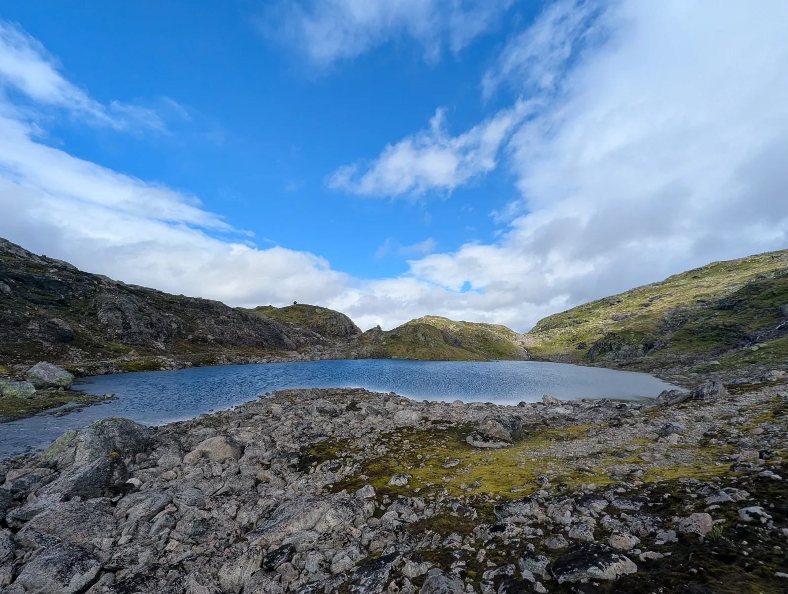
We hiked the route in early August 2026. While the Stølsheimen is known for fickle coastal mountain weather—with temperatures around 5–7°C and intermittent rain that can settle in for a day or two—the trek also delivered clear, expansive vistas across the fells. It is a challenging mountain journey, but far from grim: navigating the open plateaus, tarns, and ridges is immensely rewarding.
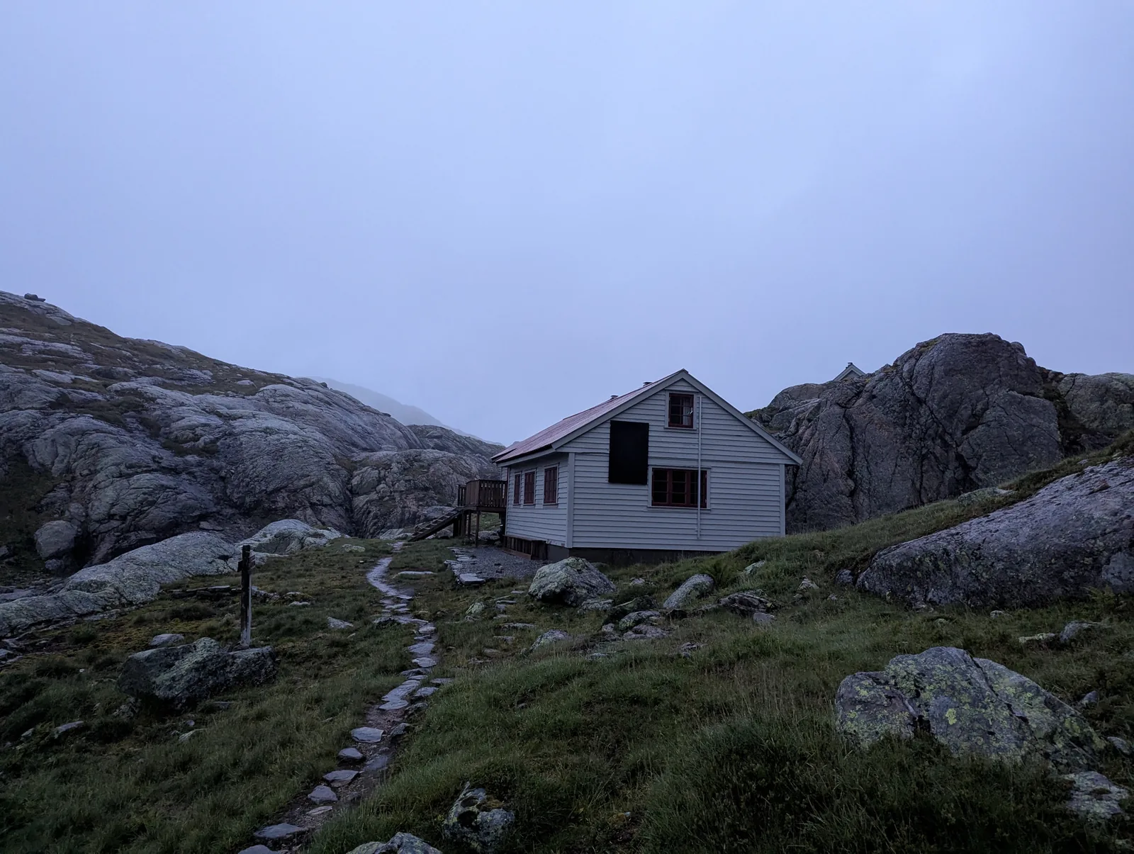
A standout strength of the Norwegian mountain system is the spacing of the huts. Daily stages are well balanced (roughly 11 to 19 km), meaning that even after a wet crossing over exposed fells, each afternoon ends at a warm, self-service cabin. Every cabin has firewood, a drying room (tørkerom) for soaked boots and clothing, a well-stocked pantry, and a shared kitchen to cook and recover in comfort.
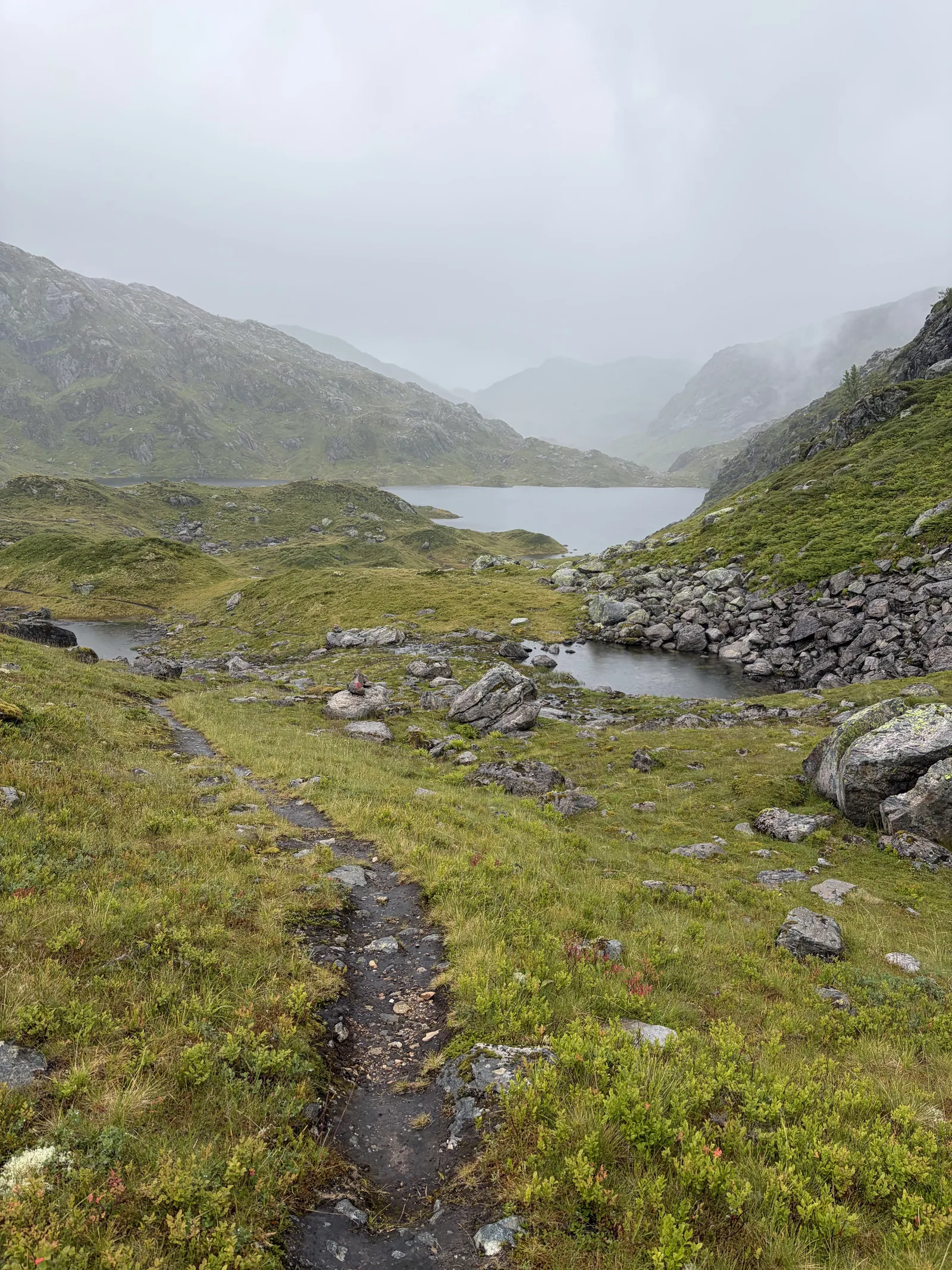
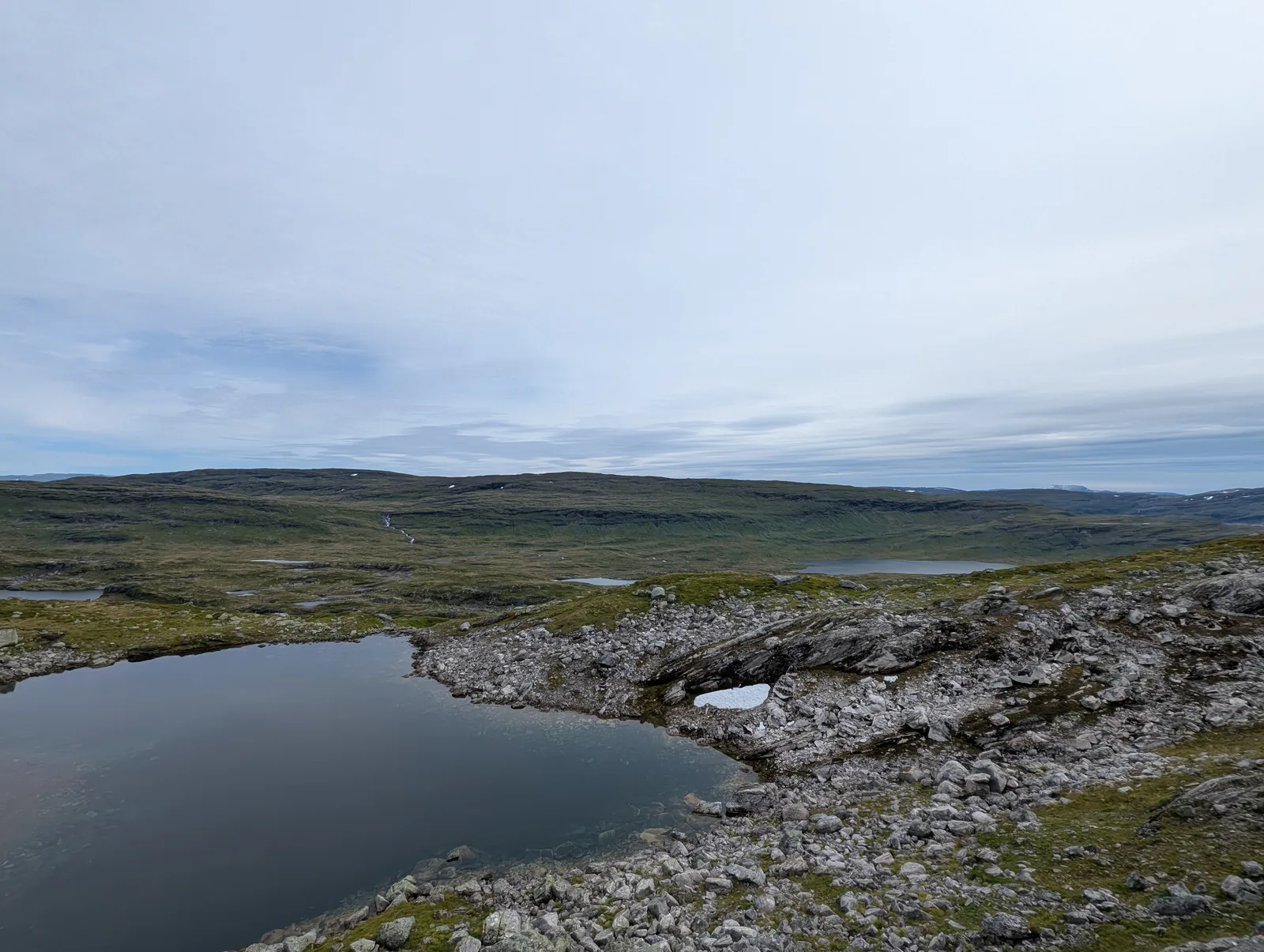
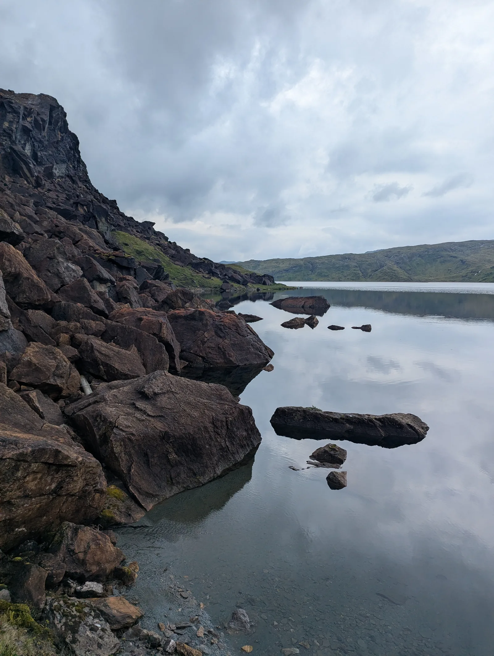
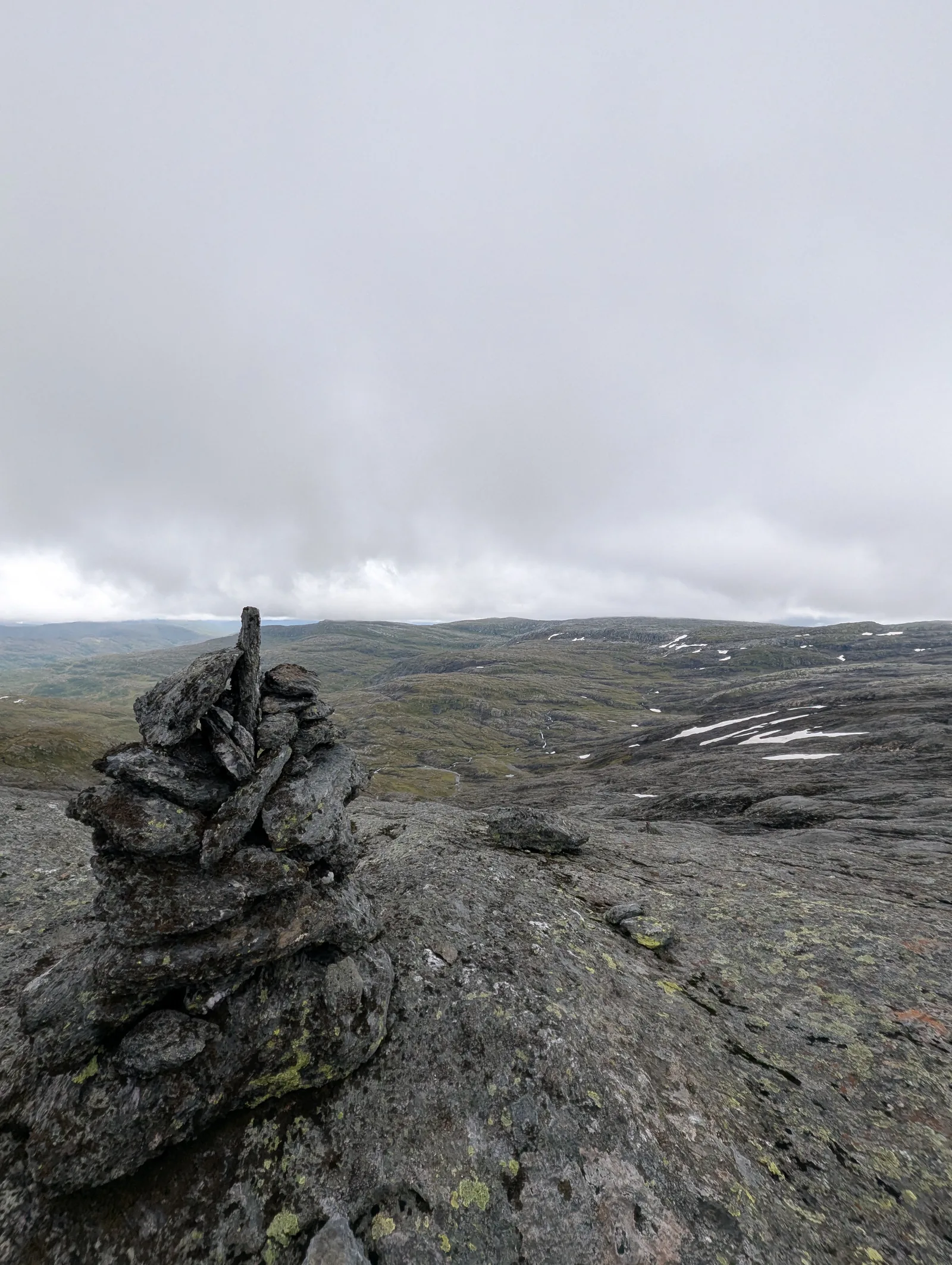
The landscape alternates between rocky high fjell and grass-covered valley floors, with elevations ranging from around 100 m to over 1,100 m. The typical pattern is a steep climb out of a valley onto the stone and moss plateau, followed by a descent back into the next valley. The terrain is varied: granite bedrock, alpine meadows, mossy fields, and peat bogs (myr). Water is omnipresent. Rivers, streams, lakes, and waterfalls line the entire route, offering fresh drinking water almost everywhere.
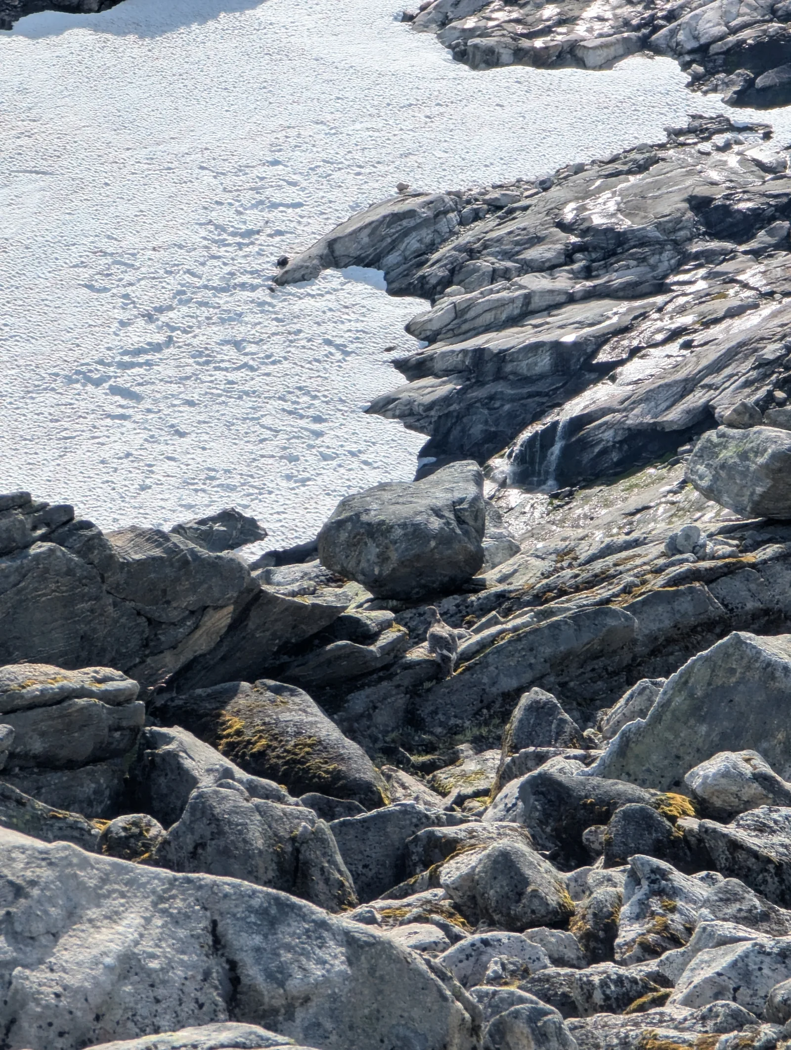
The only animals we encountered were sheep, in remarkable variety. Some had horns, some did not. Some were black, some white, some spotted. We also saw small birds, including ptarmigan. The sheep roam freely across the fjell and are a defining feature of the Stølsheimen landscape, reflecting the area’s history as summer pasture land (“støl” means summer farm).
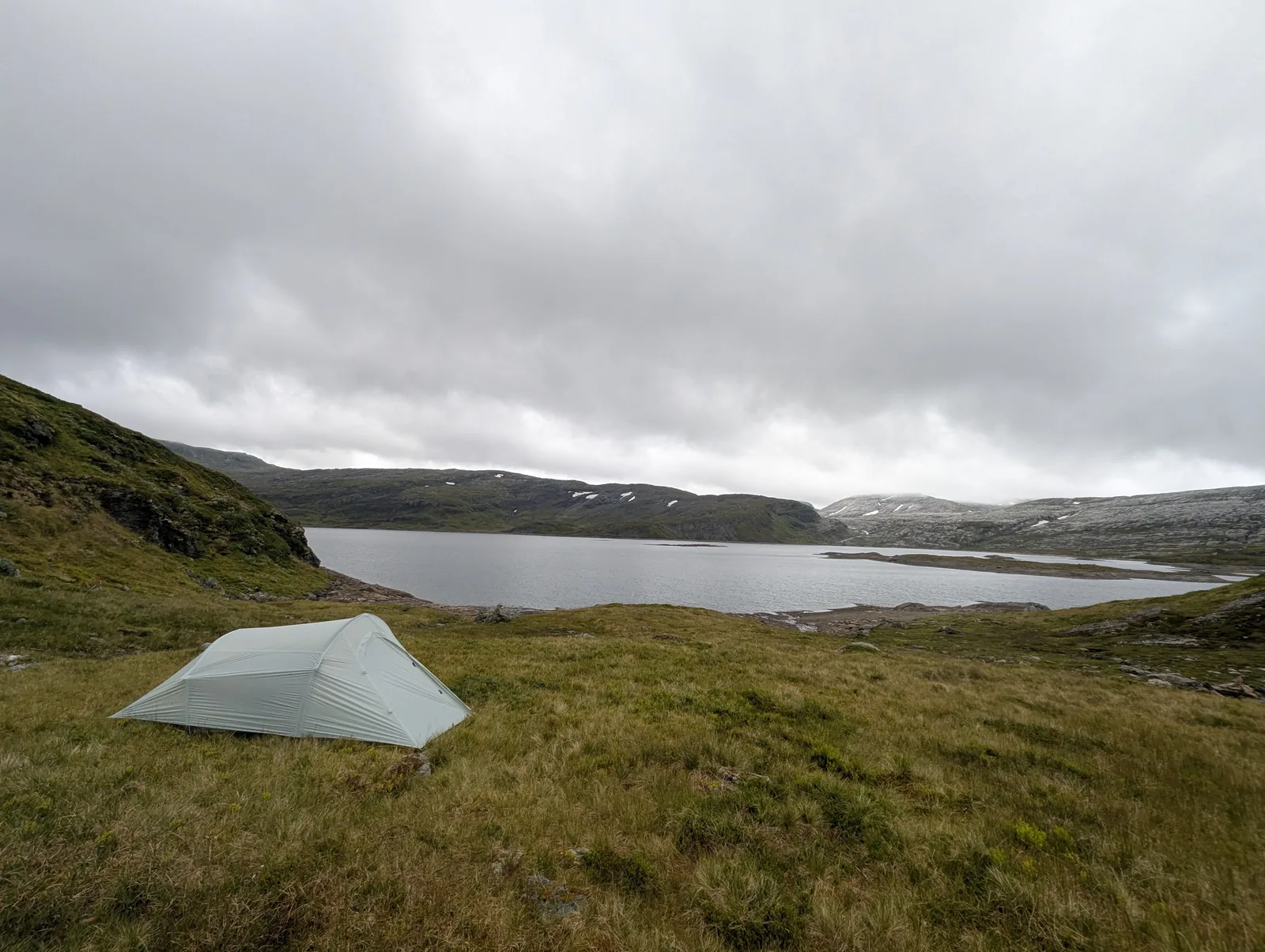
We carried a tent for the entire route and used it for two nights near mountain lakes. The remaining six nights were spent in DNT self-service cabins, which were clean, welcoming, and well-maintained. We met other hikers along the trail and at the huts, sharing route tips and warm meals. Advance cabin bookings were not necessary; on only one night was the main bedroom area full, so we slept comfortably in the communal loft (hems).
Trail conditions are rugged and require sure footing. Our average pace was around 2.3–2.8 km/h, slowed naturally by wet rock, boulder fields, boggy trails, and careful stream crossings. Several small river crossings require crossing unbridged streams where hikers hop across stones or take off boots to wade shallow sections. The water was never dangerously deep or hip-high on our trek, though trekking poles are indispensable for maintaining balance on slick river stones.
Cell reception is virtually nonexistent along the entire trail once you leave Modalen until the final descent into Voss. Electricity is equally sparse: while some cabins feature 12V solar USB charging outlets, they are not always operational, so carrying a reliable power bank is essential.
The route ends in Voss, which is well connected by train to Bergen. The start point, Mo i Modalen, is also accessible from Bergen by a combination of train and bus.
Day-by-day
Day 1 was a steep climb from Mo i Modalen through forest past Nedstadvatnet up toward Storfjellet, emerging above the treeline onto the high plateau. The first day sets the pattern for the route: a long, relentless ascent to reach the fjell, ending at Skavlabu cabin at 960 m.
Day 2 crossed the high plateau between Skavlabu and Vardadalsbu. Rolling terrain with stone and moss, small lakes, and rocky outcrops. The route stays mostly above the treeline.
Day 3 ran from Vardadalsbu to Norddalshytten through varied terrain: rocky sections, grass valleys, and stream crossings. Norddalshytten sits lower in the valley.
Day 4 from Norddalshytten to Solrenningen included the highest point of the route at around 1,100 m, with panoramic views across the fjell in clear weather. Solrenningen is one of the higher cabins on the route.
Day 5 followed the T-marked trail from Solrenningen to Åsedalen, staying above 1,100 m. An optional summit tour to Urdanipa (1,334 m) is possible from this section. The terrain is open high fjell with stone and moss.
Day 6 from Åsedalen to Selhamar was a long day through varied terrain: rocky climbs, grass valleys, and stream crossings, gradually losing elevation toward Selhamar.
Day 7 from Selhamar to Torvedalshytta was one of the harder days, with over 1,000 m of both ascent and descent. The terrain was demanding: wet rock, boulder fields, and river crossings that required care.
Day 8 from Torvedalshytta to Volahytta continued through the fjell landscape with substantial climbing, rocky sections, and crossings.
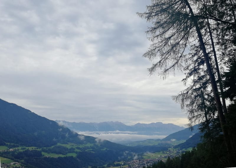
Day 9 from Volahytta to Voss was the longest day at 19.5 km, with a massive 1,797 m descent into Voss. The terrain transitions from high fjell to forested valley as you approach the town. The final descent is long and punishing on the knees. Trekking poles are essential.
Getting there
Fly to Bergen Airport (Flesland). From Bergen, take the Vy train toward Voss (approximately 1 hour), then transfer to a Skyss bus to Mo i Modalen. Check skyss.no for current bus schedules, as connections through Modalen run infrequently and require careful planning.
From Voss at the end of the route, Vy trains run frequently back to Bergen (approximately 1 hour). Voss is also a stop on the Bergen Line (Bergensbanen), which connects to Oslo. Both endpoints are well connected by public transport, making logistics straightforward.
Accommodation
Overnights are conveniently spaced at DNT self-service cabins along the route: Skavlabu, Vardadalsbu, Norddalshytten, Solrenningen, Åsedalen, Selhamar, Torvedalshytta, and Volahytta.
All cabins operate on the DNT self-service model with well-stocked pantries, wood-burning stoves, cooking gear, and clean dorm beds. Advance reservations were not necessary—we arrived without bookings, and only on one busy night did we sleep in the communal loft (hems). DNT maintains a policy that no hiker is turned away. While we did not end up needing the standard DNT key because the cabins were unlocked during our visit, locking practices can change over time, so we strongly advise carrying the standard key with your DNT membership.
Tent camping is permitted under Norway’s right to roam (allemannsretten) above the treeline. We camped for two nights, which is a great option in calm weather, though having access to the cabins makes dealing with rainy spells and drying wet clothes significantly easier.
What to bring
- DNT membership card and standard hut key (even if cabins are often open, carry the key as rules can change).
- Reliable power bank (10,000–20,000 mAh): cell reception is absent and hut USB charging cannot be guaranteed.
- Full waterproof outerwear (3-layer jacket and rain trousers). Highland weather can change rapidly.
- Warm insulating layers (wool or fleece) and a warm hat/gloves, even in August (temperatures can hover at 5–7°C).
- Trekking poles: essential for stability across boulder fields, stream crossings, and the 1,797 m descent on Day 9.
- Sturdy waterproof hiking boots and gaiters for boggy (myr) sections.
- Hut sleeping sheet / liner (lakenpose) or light sleeping bag for the cabins.
- Lightweight tent and sleeping pad if you wish to camp on fine-weather nights or as backup.
- Offline navigation: GPX tracks on smartphone or GPS device with offline maps downloaded.
- Water shoes, sandals, or lightweight neoprene socks for barefoot stream crossings if needed.
Tips
- Obtain your DNT membership and key prior to travel. While huts were unlocked on our trip, carrying the key ensures peace of mind.
- Advance cabin booking is generally not required; DNT cabins operate on an open-door policy where everyone gets shelter.
- Build 1–2 buffer days into your itinerary to allow for flexible rest days or to sit out a rainy spell in a cozy cabin.
- Plan for a slower pace than on groomed trails: rough boulder paths and boggy sections typically yield 2.0 to 3.0 km/h.
- Huts feature drying rooms (tørkerom) heated by wood stoves—take advantage of them every afternoon to dry boots and waterproofs.
- Prepare for zero phone signal: inform someone of your route schedule before leaving Mo i Modalen and carry an emergency satellite communicator (e.g., inReach) if desired.
- Don’t rely on hut electricity for your devices; bring a dependable power bank.
- Check summer bridge status on the DNT / ut.no website before your trip (bridges are installed after spring snowmelt).
- The final stage into Voss drops nearly 1,800 vertical meters—protect your knees by using poles and pacing your descent.
Links
- DNT Norwegian Trekking Association: Membership and Huts
- SignaTUR Stølsheimen: Official DNT Route (ut.no)
- Stølsheimen Trail: Route in English
- Skyss: Public Transport in Vestland County
- Vy: Train Tickets Bergen to Voss
- Stølsheimen Protected Landscape Area
Downloads
Full Route GPX: All 9 Days Day 1 GPX: Mo i Modalen to Skavlabu Day 2 GPX: Skavlabu to Vardadalsbu Day 3 GPX: Vardadalsbu to Norddalshytten Day 4 GPX: Norddalshytten to Solrenningen Day 5 GPX: Solrenningen to Åsedalen Day 6 GPX: Åsedalen to Selhamar Day 7 GPX: Selhamar to Torvedalshytta Day 8 GPX: Torvedalshytta to Volahytta Day 9 GPX: Volahytta to Voss