



 Duration
Description
The Rumtse to Tso Moriri traverse is one of the most remote and visually arresting high-altitude journeys in the Indian Himalaya. Spanning roughly 103 kilometers across the northwestern extension of the Changthang plateau, the route links the ancient salt-trading outpost of Rumtse on the Leh–Manali highway with the sacred high-altitude lake of Tso Moriri. Over seven consecutive days, the trail never drops below 4,100 meters, crossing six mountain passes between 4,950 and 5,440 meters.
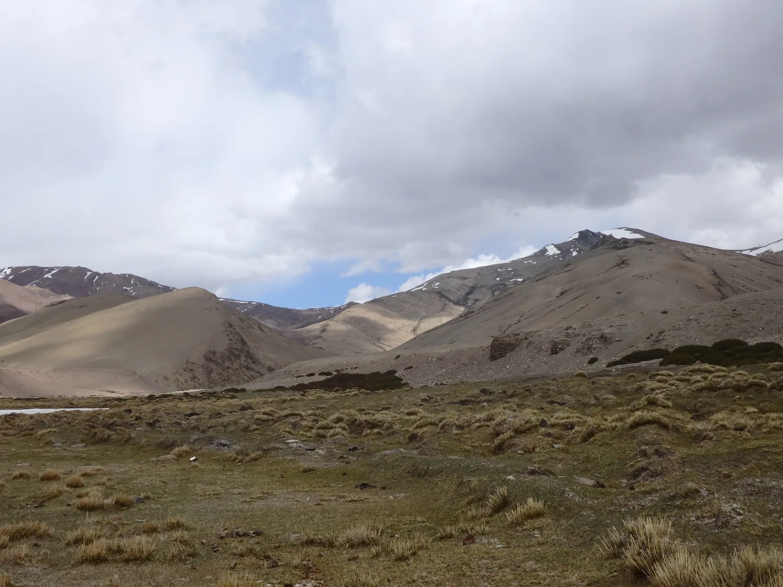
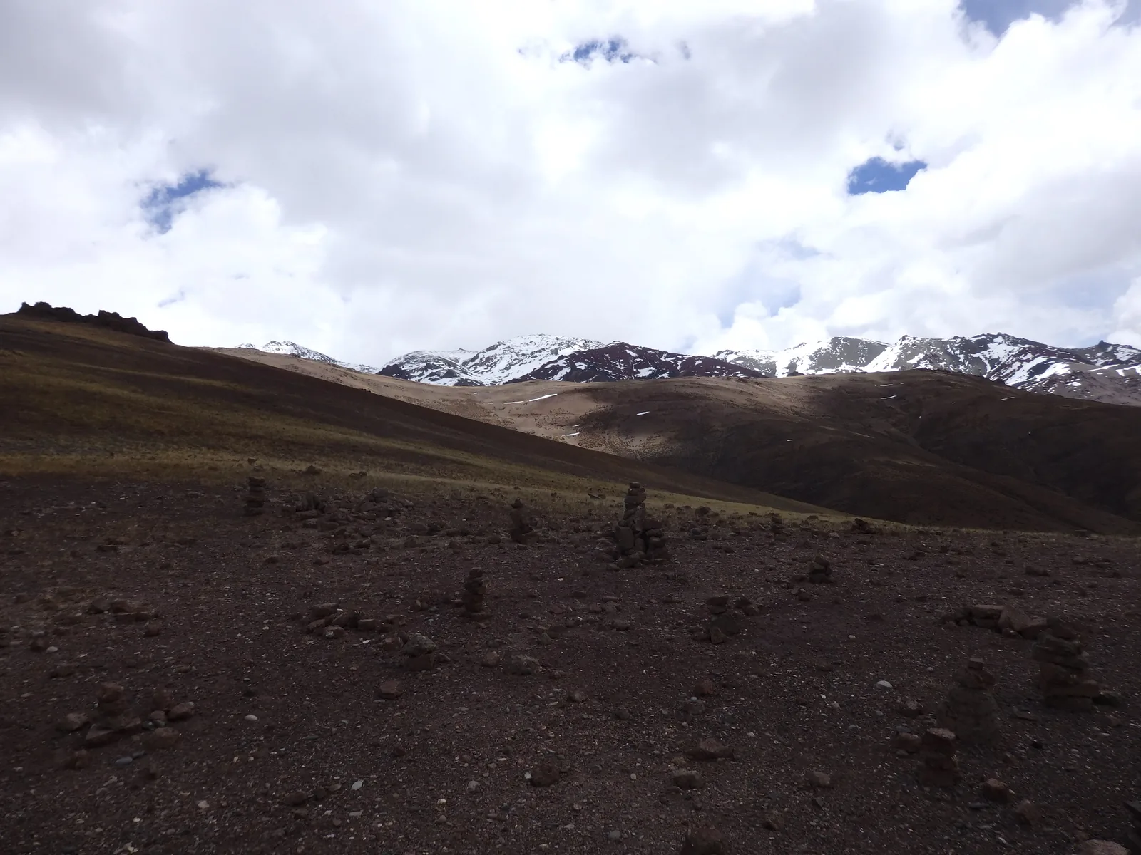
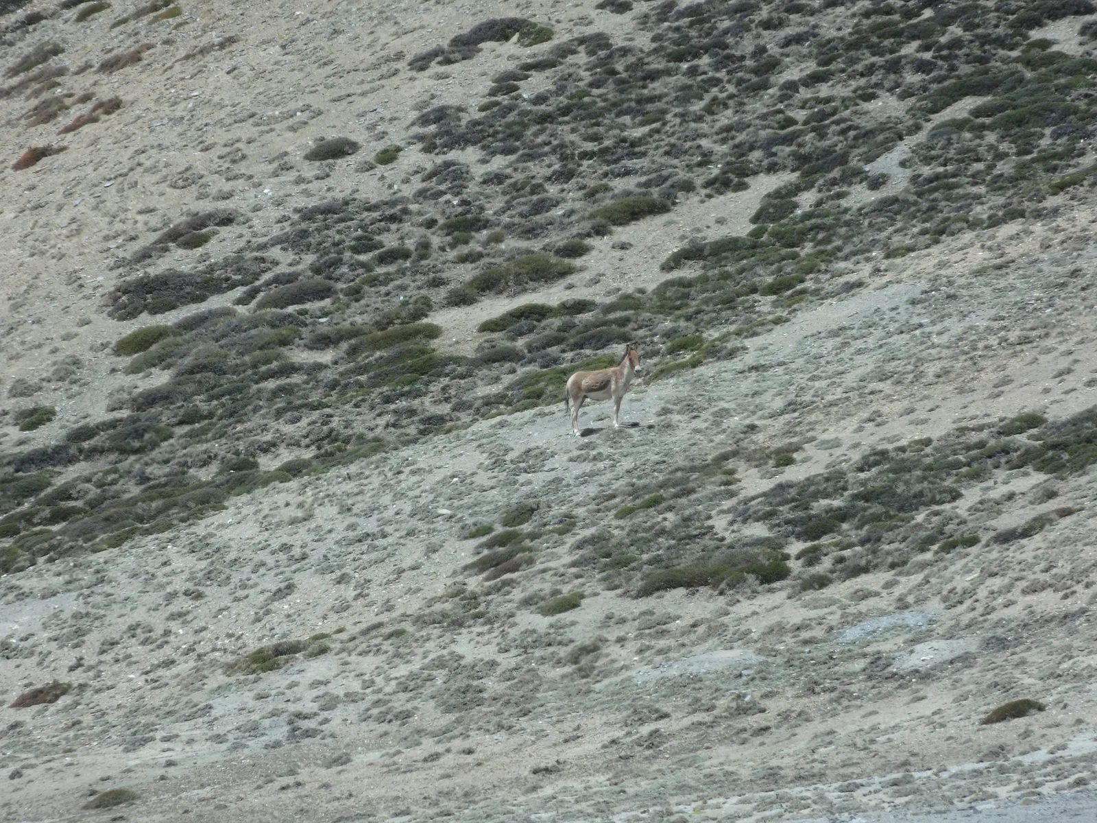
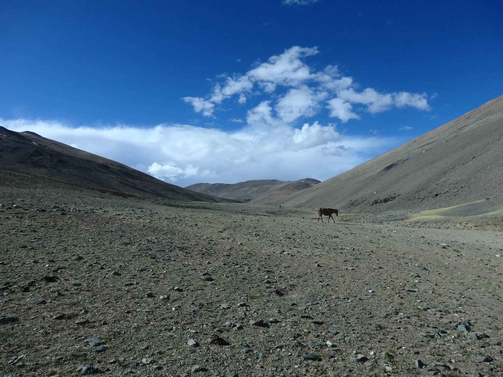
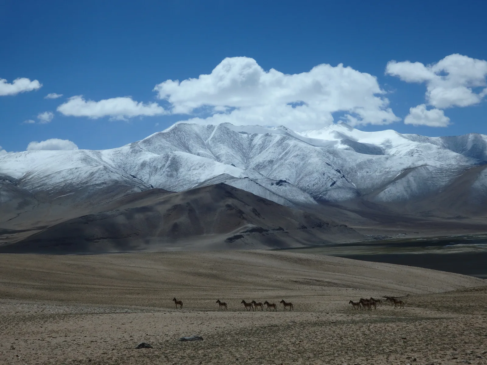
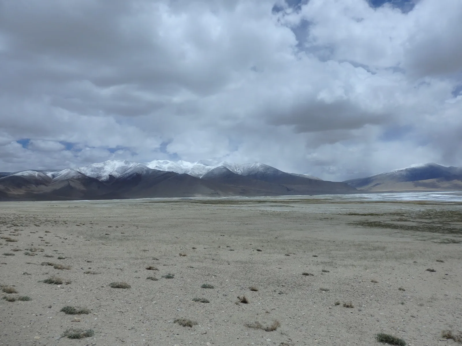
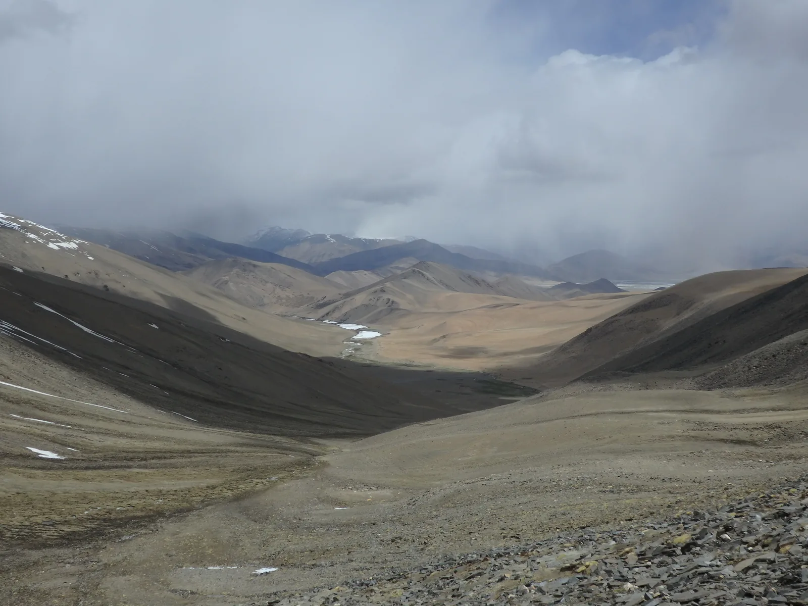
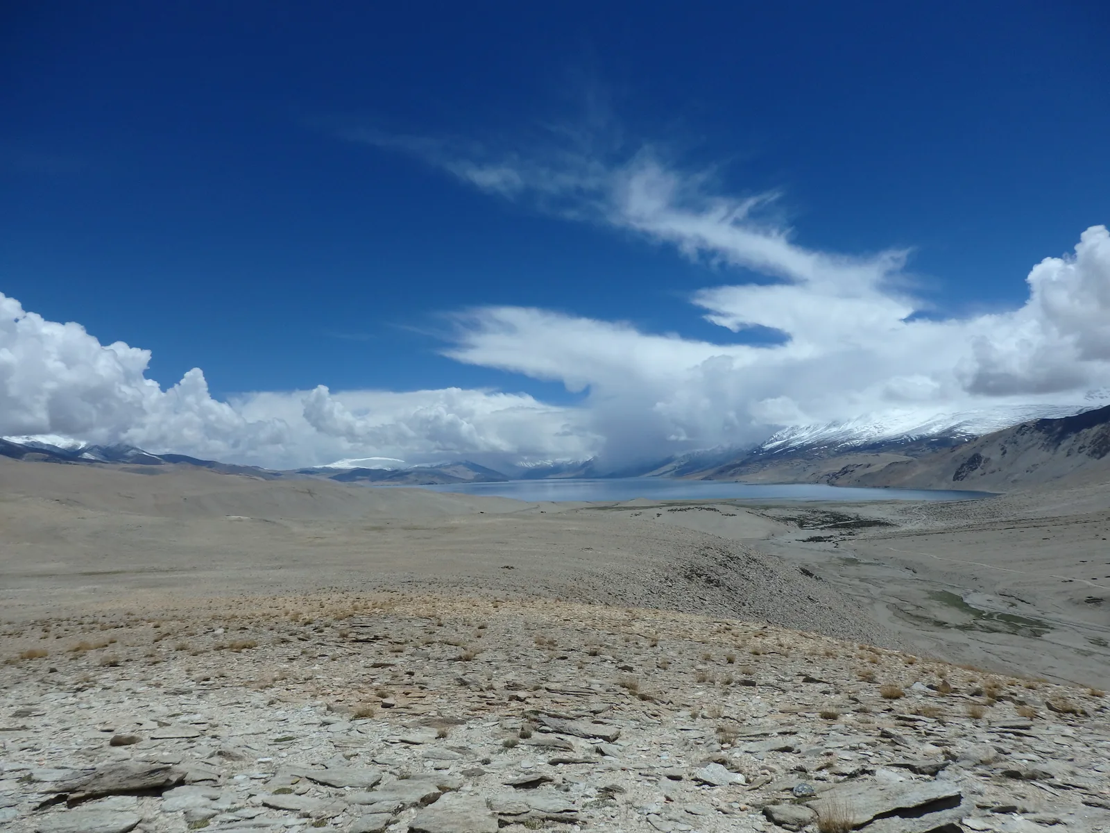
What defines the trek is its raw, unvarnished vastness. The landscape is an austere high-altitude desert devoid of trees, where river beds of crushed shale wind between barren, mineral-stained ridges colored in startling bands of terracotta, ochre, and deep slate. After crossing the northern passes, the route spills out onto the blinding white salt basin of Lake Tso Kar, where herds of wild Kiangs gallop across gravel plains against backdrop ranges capped in perpetual snow. Continuing south, the trail penetrates deep into the nomadic summer pastures of the Changpa pastoralists before ascending to Yalung Nyau La, where the deep sapphire expanse of Lake Tso Moriri suddenly fills the southern horizon.
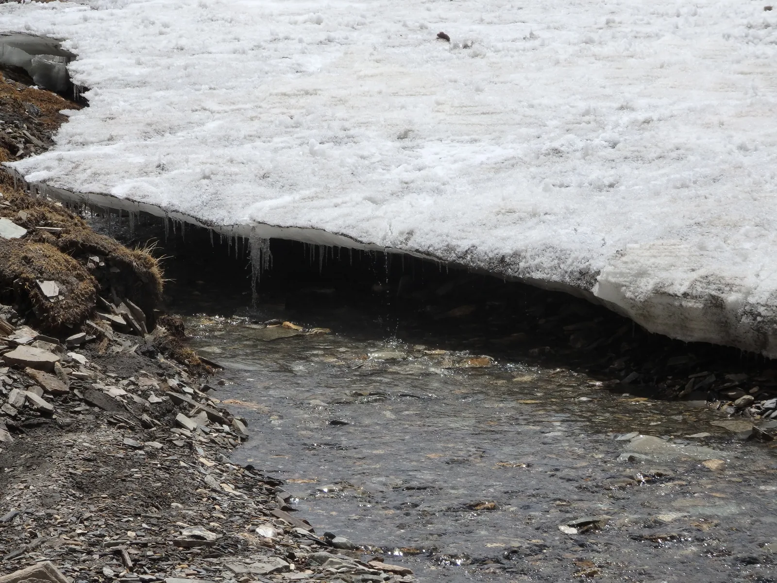
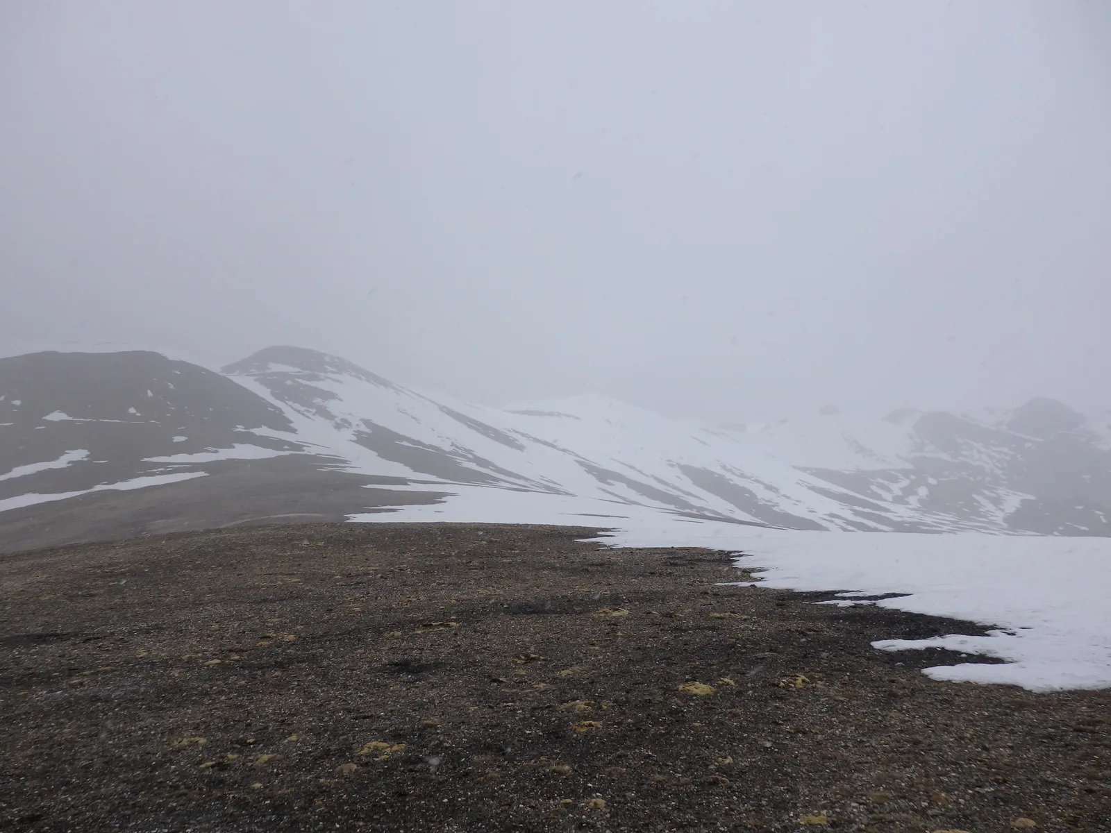
Logistically, the journey is organized as a supported trek. Because no permanent settlements exist between Rumtse and the lakeside village of Korzok, trekkers travel with a local Ladakhi crew—including a guide, camp cook, and pack horses that carry all tents, food supplies, and heavy duffels. Because hikers carry only a light daypack with water, warm layers, and a camera, the walking itself is technically straightforward: broad shale river valleys, open desert plains, and well-graded pass paths without scrambling. The central physical consideration is not technical difficulty or heavy load carrying, but the sustained altitude. Spending seven consecutive days living above 4,100 meters requires three to four days of thorough acclimatization in Leh beforehand. Early in the season, crisp mountain air brings brisk winds, frozen morning stream crossings, and lingering snowfields on the highest passes.
Day-by-day
Day 1 starts from the roadside settlement of Rumtse at 4,150 meters, following the braided gravel banks of the Kyamar Chu river into an increasingly desolate side canyon. The gentle 11.5 km climb serves as an ideal warm-up and acclimatization walk, winding between jagged sandstone fins stained in vibrant mineral reds and greens. The day finishes at Kyamar campsite (4,510 m), where canvas ridge tents are pitched on sparse grassy flats beneath towering scree slopes.
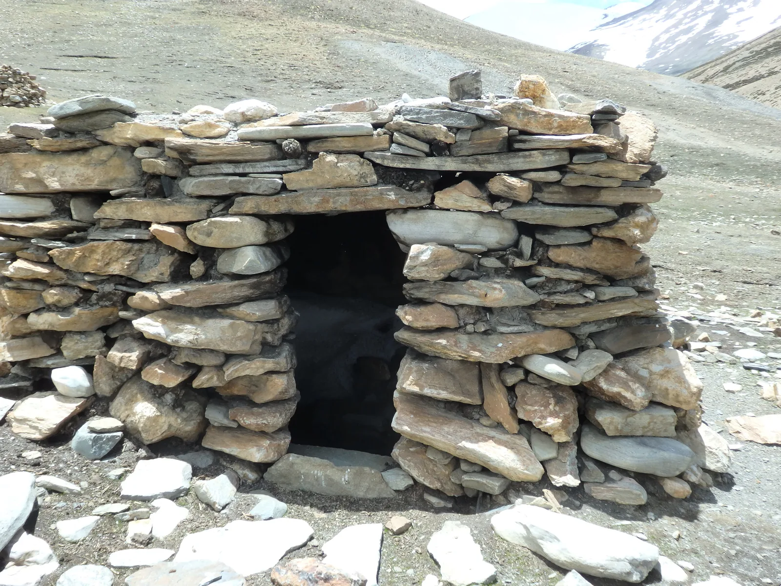
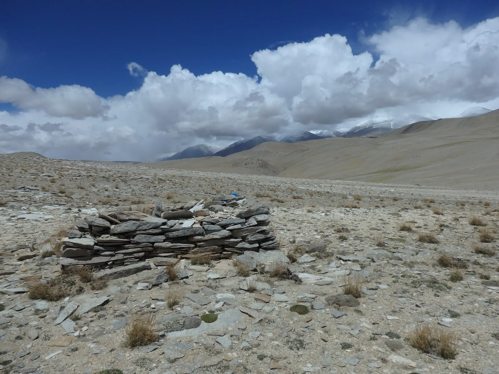
Day 2 begins the high-pass crossings, climbing steadily out of Kyamar to cross Kyamar La at 5,180 meters. In early June, brisk mountain winds sweep across the prayer-flagged col, offering sweeping views back towards Kang Yatse. A short descent leads to an intermediate river basin before a second steady climb crosses Mandalchan La at 5,200 meters. The subsequent descent drops into Tisaling (5,010 m), an amphitheater of high alpine pastures dotted with ancient stone shepherd huts.
Day 3 ascends out of the valley along gentle scree paths, passing early-season snow patches and small frozen streams to cross Shibuk La at 5,270 meters. From the pass crest, the breathtaking expanse of Lake Tso Kar reveals itself for the first time, its white salt perimeter shimmering across the desert basin. A steady descent brings the party to Shibuk spring before a gentle walk across the flat plains reaches Pongunagu campsite (4,560 m).
Day 4 is the flattest yet most surreal leg of the journey, tracing the western edge of Tso Kar over 17 kilometers. The ground alternates between dry mud crusts, salty marshes, and sandy hummocks. It is here that herds of wild Kiangs (Tibetan wild asses) roam undisturbed. The route skirts freshwater wetlands that host breeding pairs of black-necked cranes before arriving at the seasonal pastoral enclave of Nuruchan (4,670 m).
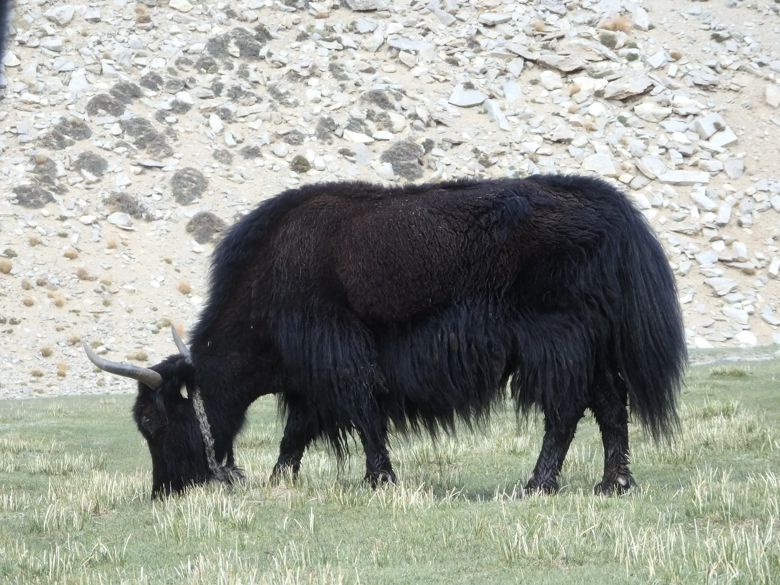
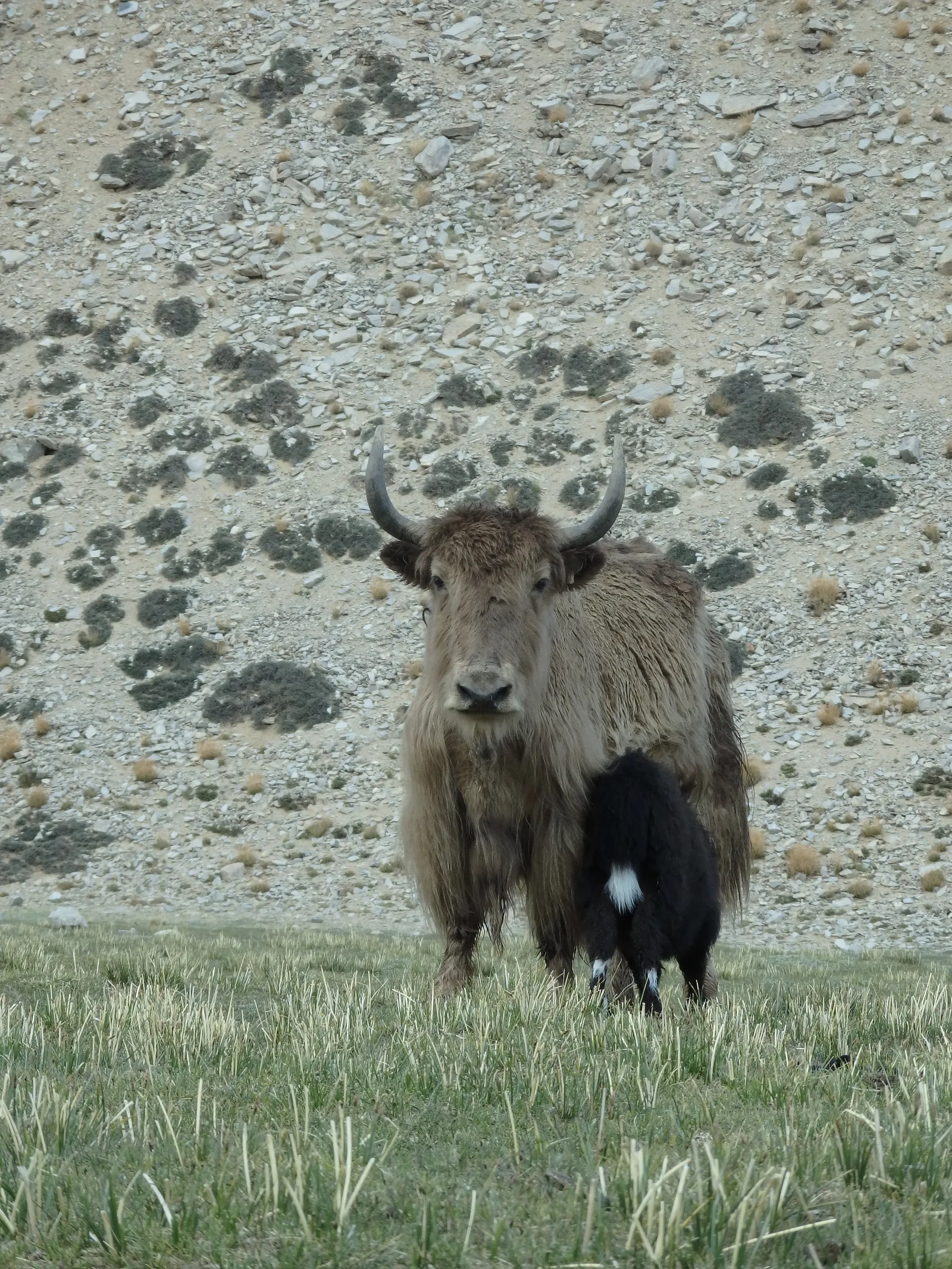
Day 5 leaves the salt flats behind, climbing through a dry tributary valley to cross Horlam Kongka La at 4,950 meters. The pass offers an expansive retrospective view of the entire Tso Kar depression before rolling down onto high gravel terraces. As the route nears Rachungkaru (4,940 m), the black yak-hair tents of nomadic Changpa pastoralists appear, surrounded by grazing herds of pashmina goats and yaks.
Day 6 covers 21.1 kilometers and two consecutive passes over 5,300 meters across open high-plateau terrain. Departing in the crisp morning air, the track ascends steadily to Kayamayuri La at 5,410 meters, where wide shale slopes lead gently up to the pass crest. After crossing an intermediate valley, the trail climbs over Kostse La at 5,380 meters before descending into the broad glacial floor of Gyamar Barma at 5,170 meters.
Day 7 begins with the final ascent to Yalung Nyau La at 5,440 meters, the highest geographic point of the trek. Reaching the summit cairn and its ancient mantra-carved Mani stones reveals the crowning view of the entire traverse: the intense turquoise and sapphire expanse of Lake Tso Moriri stretching over twenty kilometers beneath the 6,600-meter peaks of Mentok Kangri. A long, gradual descent over barren gravel terraces drops past grazing yaks and marmot colonies into Korzok village (4,530 m), concluding the journey beside Korzok Monastery.
Getting there
The trek begins at Rumtse, located approximately 80 kilometers southeast of Leh along the Leh–Manali highway. The drive from Leh takes around two to two and a half hours by private taxi or shared jeep, tracing the Indus Valley past the monasteries of Shey, Thiksey, and Hemis before turning south into the Gya gorge.
The finish point is Korzok on the northwestern shore of Lake Tso Moriri. Return transport to Leh requires a prearranged private 4WD vehicle (typically a Mahindra Scorpio or Toyota Innova arranged through your Leh trekking agency). The drive back to Leh spans roughly 220 kilometers (6 to 7 hours), following the Mahe bridge checkpoint and the Indus gorge via the hot springs of Chumathang.
Accommodation
This route is a pure wilderness traverse with zero permanent huts or commercial guesthouses between Rumtse and Korzok. All accommodations during the seven days are in comfortable tents pitched at designated nomadic camp zones (Kyamar, Tisaling, Pongunagu, Nuruchan, Rachungkaru, Gyamar Barma). Tents, kitchen equipment, and dining shelters are transported daily by the pack-horse team.
In Korzok, several simple family-run homestays and seasonal tented camps operate during the summer months, providing basic beds, warm blankets, and home-cooked Ladakhi meals.
What to bring
- Sub-zero sleeping bag: Rated to at least -10°C comfort; overnight temperatures at 5,000 meters regularly plunge below freezing even in July.
- Sturdy trekking boots: Well broken-in leather or synthetic high-top boots with aggressive lugged soles for loose shale and scree.
- Windproof and thermal layers: Heavyweight down jacket, windproof hard shell, fleece mid-layers, and thermal merino base layers.
- Glacier sunglasses: Category 3 or 4 UV protection is essential to prevent snow blindness on high passes and salt flats.
- Water purification: UV sterilizer (SteriPEN) or hollow-fiber filter plus chlorine dioxide tablets for glacial stream water.
- River crossing shoes: Neoprene booties or lightweight sandals with straps for unbridged stream fordings.
- Trekking poles: Strongly recommended for knee support and balance on steep scree descents and river crossings.
- Sun protection: Broad-spectrum SPF 50+ sunscreen, zinc lip balm, and wide-brim sun hat for intense high-altitude solar radiation.
- Personal medical kit: Diamox (Acetazolamide) for AMS symptoms, blister treatment, rehydration salts, and broad-spectrum antibiotics.
Tips
- Acclimatize in Leh first: Spend a minimum of three to four full days in Leh (3,500 m) before departing for Rumtse. Undertake day hikes around Leh (e.g., to Tsemo Gompa or Phyang) to stimulate red blood cell production.
- Inner Line Permits: Obtain an Inner Line Permit (ILP) in Leh through a licensed travel agency. Foreign passports must be registered, and photocopies of the permit must be carried for military checkpoints at Rumtse, Mahe, and Korzok.
- Hydration pace: Consume 4 to 5 liters of fluid per day. The cold, dry air on the Changthang plateau accelerates dehydration through respiration without noticeable sweating.
- Morning starts: It is recommended to get an early start in the morning, as thermal winds tend to pick up across the high passes and open plateau by early afternoon. Setting off in good time lets you cross the cols and reach the next campsite during the calmest part of the day.
- Respect Changpa pastoralists: When walking near nomadic encampments, maintain distance from Tibetan mastiffs, which guard livestock fiercely. Always ask permission before photographing Changpa families inside their tents.
Links
Ladakh Tourism Official Portal Changthang Wildlife Sanctuary Information Leh District Administration Permit Portal
Downloads
Full Route GPX Stage 1 GPX Stage 2 GPX Stage 3 GPX Stage 4 GPX Stage 5 GPX Stage 6 GPX Stage 7 GPX