



 Duration
Description
The Bohuslän Coast-to-Forest Traverse spans 93.3 kilometers in 4 stages through northern Bohuslän in western Sweden, running from Tanumshede to Strömstad. The route links the coastal cultural landscape of Tanumshede with the boreal forest interior, crossing the elongated rift lakes of Bullaren, cresting the Bohusleden ridgeline at Björnerödspiggen, and ending at the coastal harbor of Strömstad. Our GPS-recorded distance was 93.3 km with 1,694 m of total ascent.
We hiked the route in late August 2021. Unlike the heavily touristed archipelago islands further south, this northern inland corridor remains remarkably quiet. Across four days, we encountered virtually no other hikers on the trails. It is an optimal season for the region: daytime temperatures hover comfortably around 18–22°C, summer crowds have departed, and the interior forest lakes retain enough warmth for daily swimming breaks.
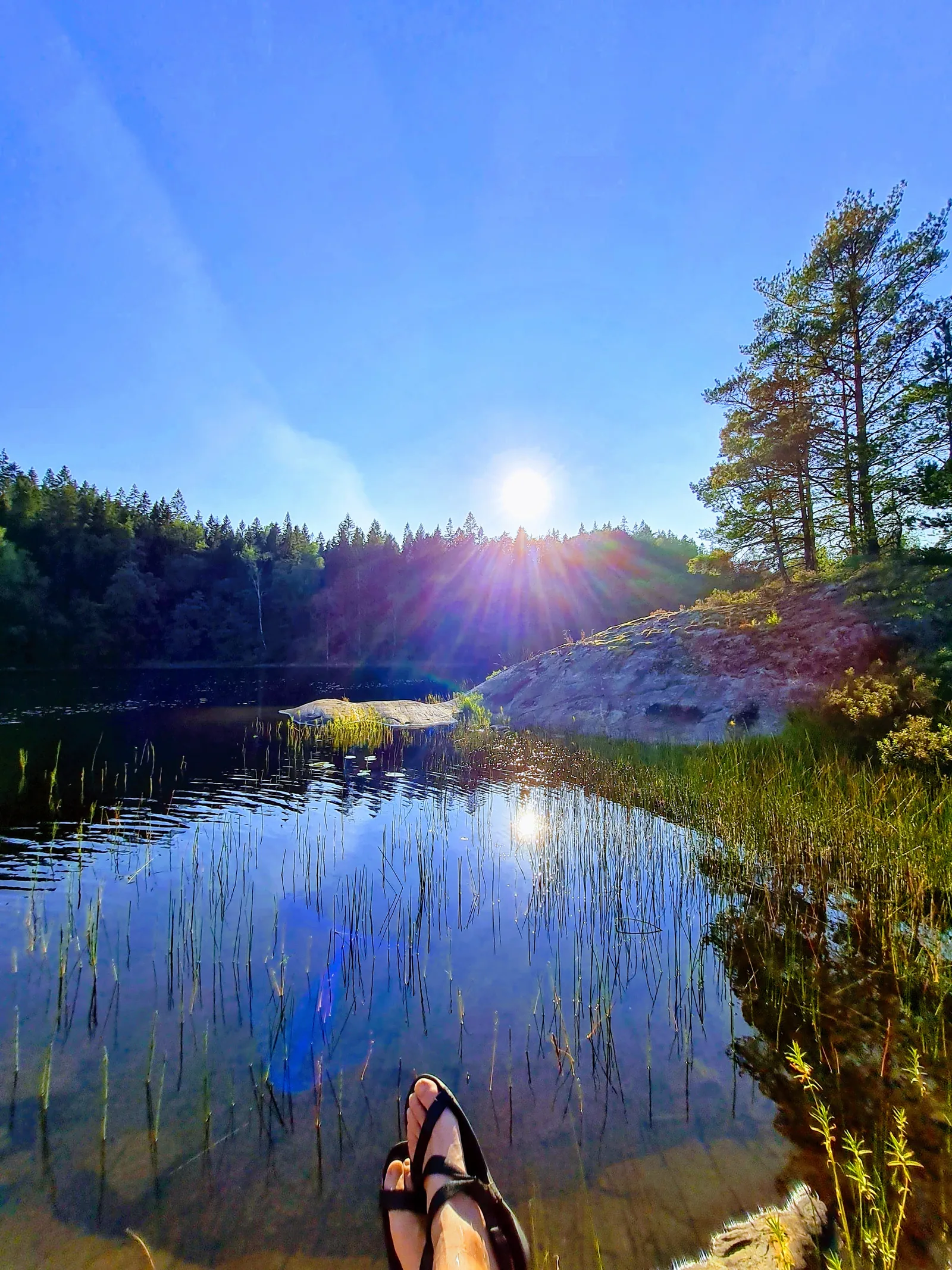
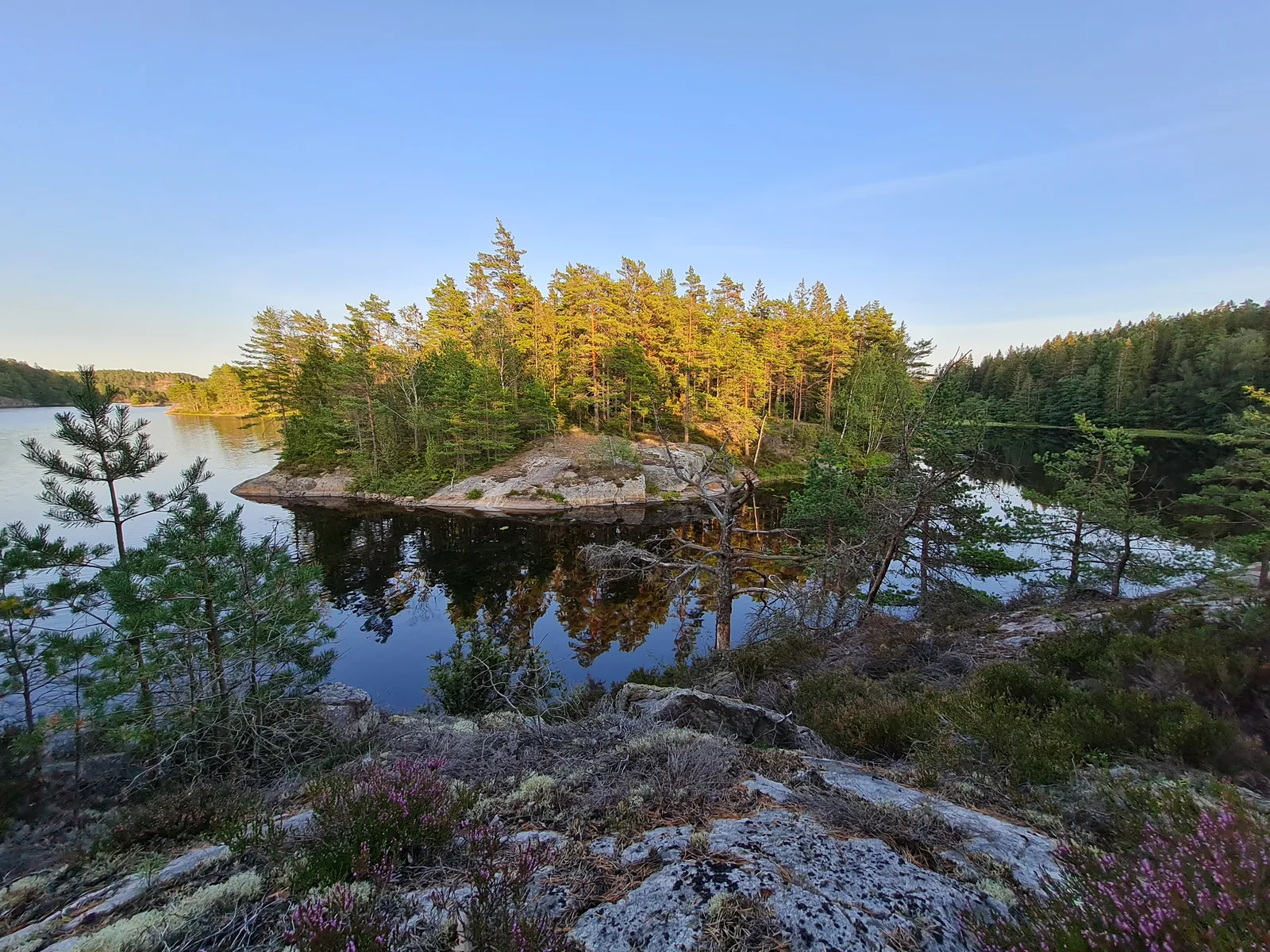
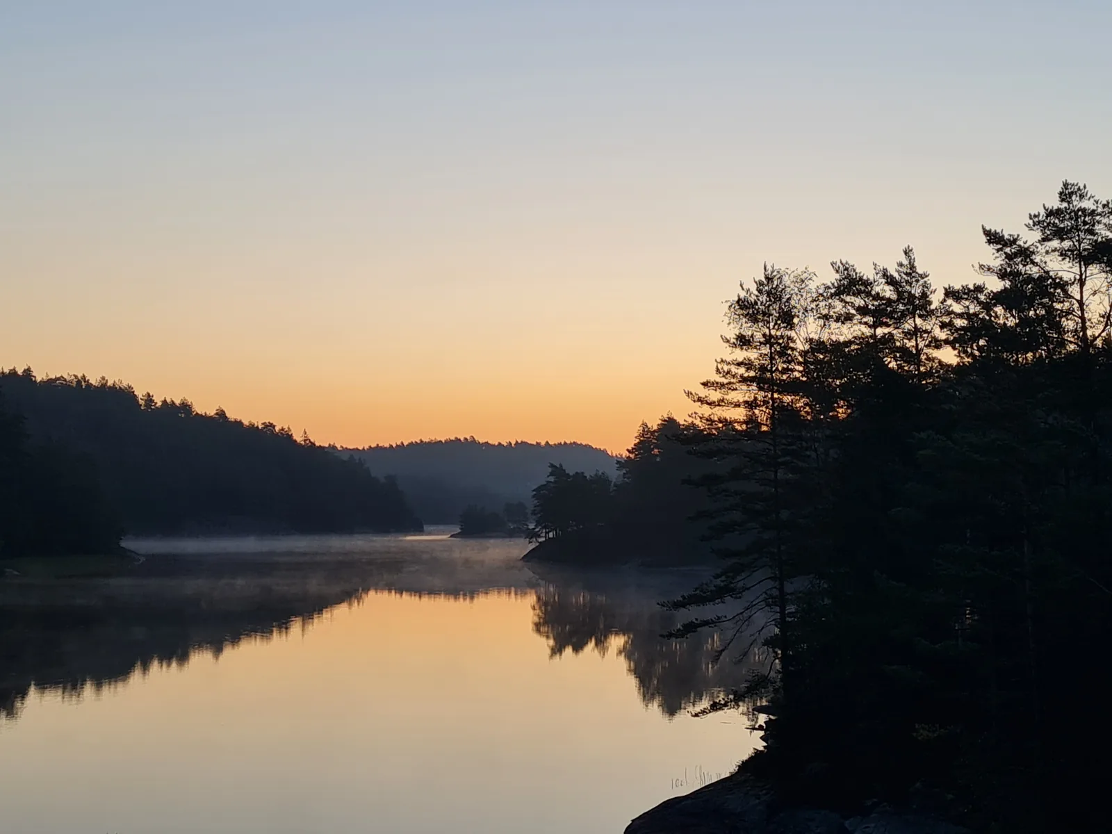
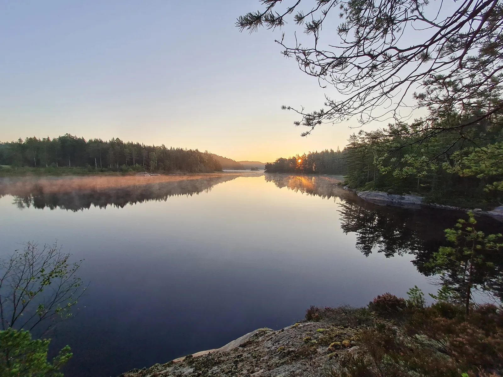
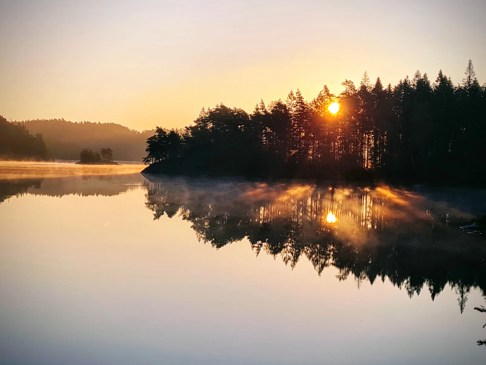
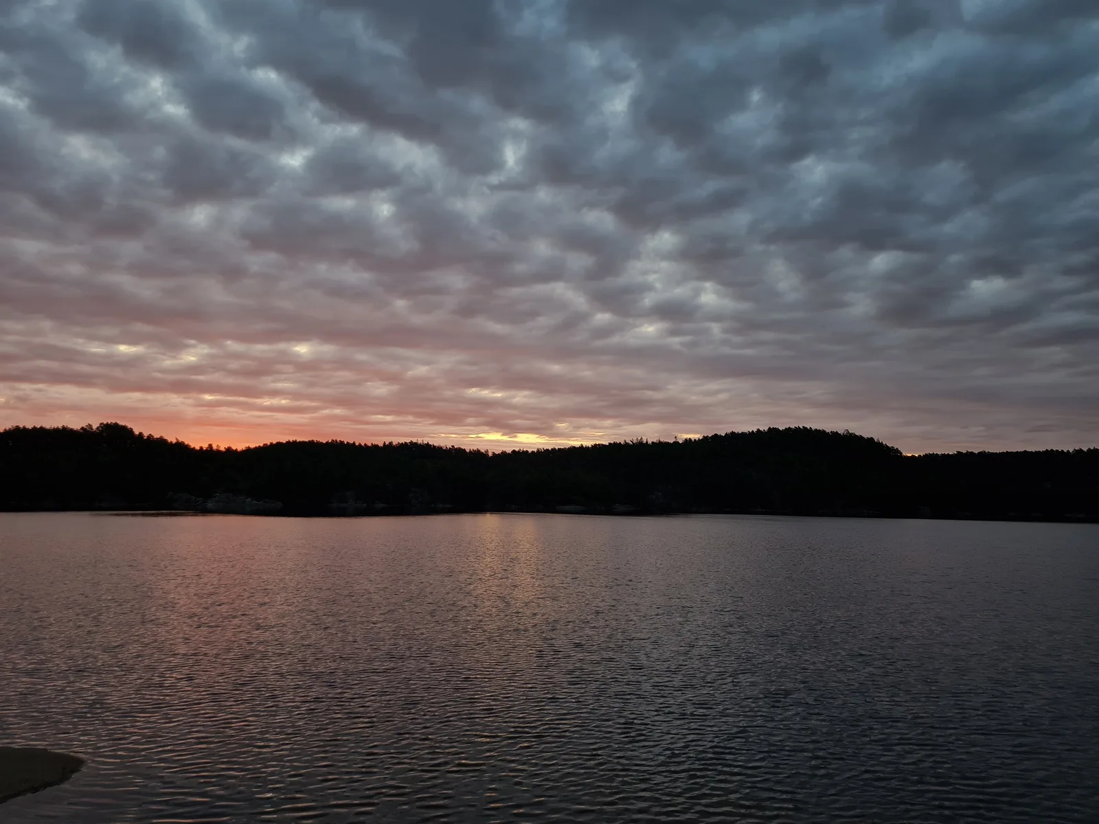
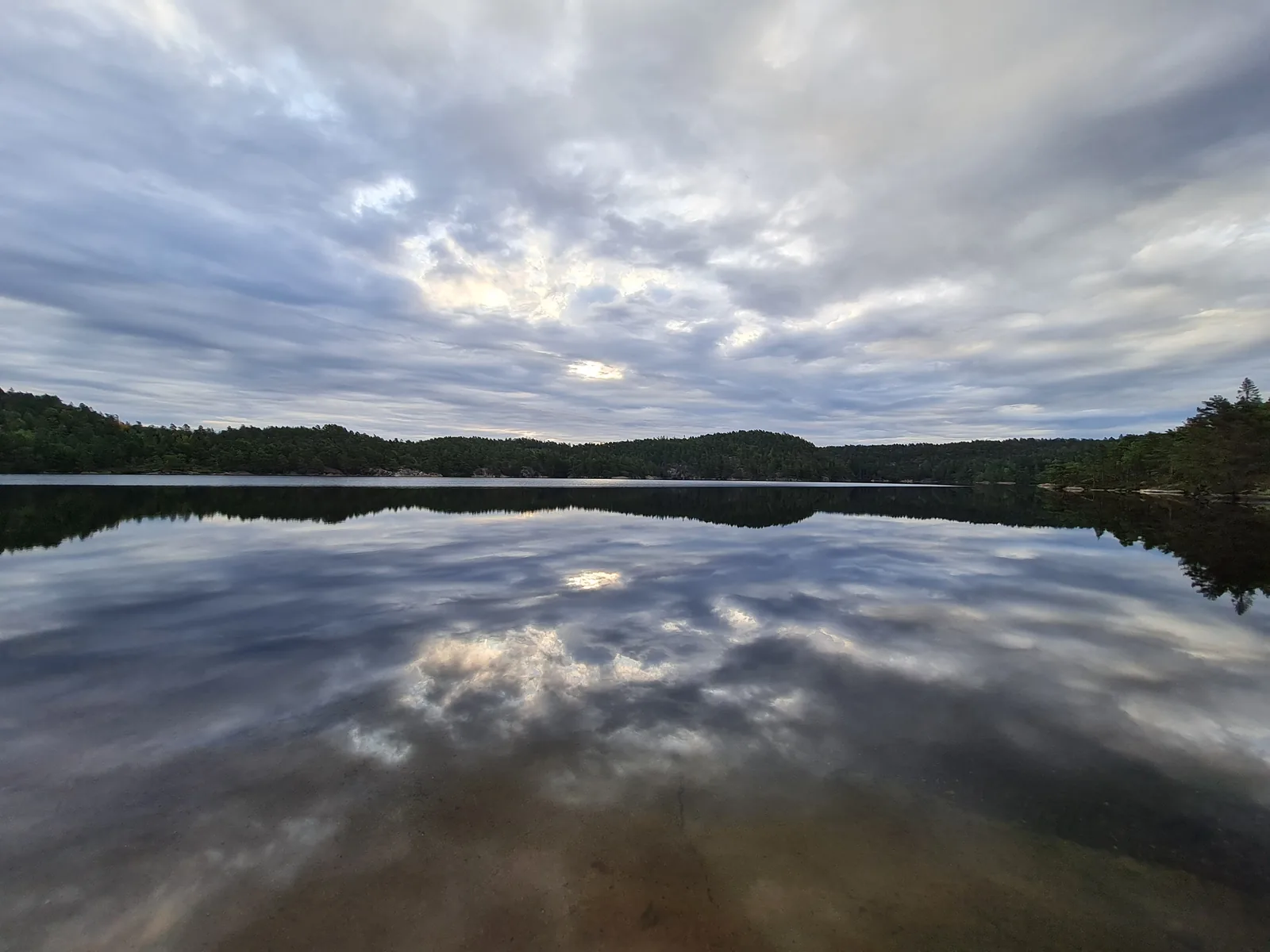
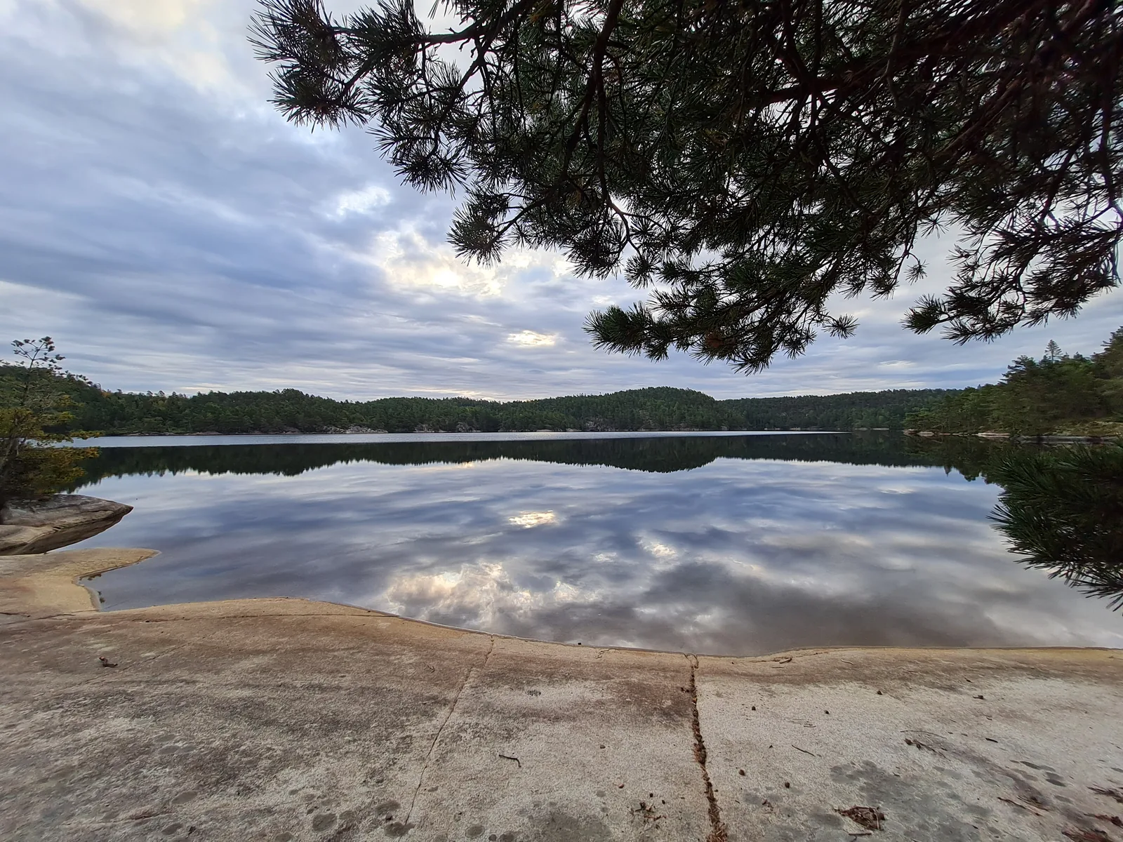
The landscape transitions from the agricultural plains around Tanumshede into dense spruce and pine woods, interspersed with granite bedrock domes, boggy hollows, and secluded freshwater shores. Water in the larger lakes is pristine and inviting, with granite ledges dropping straight into deep water.
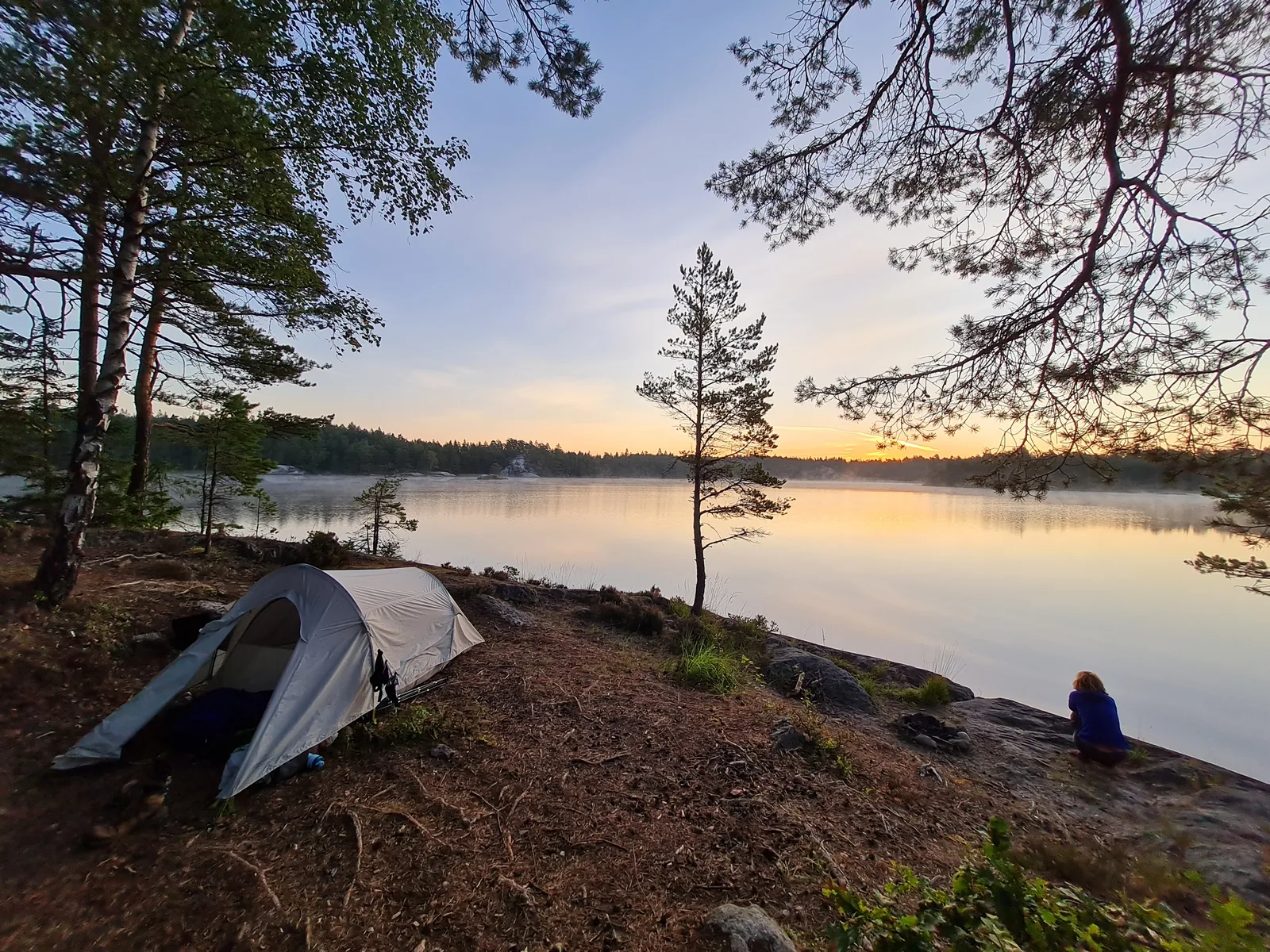
We carried full camping gear for the entire traverse. Under Sweden’s right of public access (allemannsretten), finding secluded wild campsites along the lakeshores was straightforward and peaceful for the first three nights. The final stage presented a different logistical challenge: a persistent late-summer drought had dried up seasonal streams across the hills, leaving no campable sites with accessible water between Flöghult and the coast. We chose to push through the entire 38.6 km distance in a single sustained day, reaching Strömstad by evening without difficulty.
The route finishes right at Strömstad harbor and train station. Public transit back to the starting point in Tanumshede is seamless, with regular regional buses covering the return journey in under an hour.
Day-by-day
Day 1 started at the transit hub of Tanumshede, leaving the open coastal fields behind and climbing gently into pine and spruce woods. Gravel country tracks transitioned to narrow singletracks winding over weathered granite knolls past Lur and Amunderöd, finishing with a quiet lakeside camp at Gudenäset on Bullaresjön after 20.0 km.
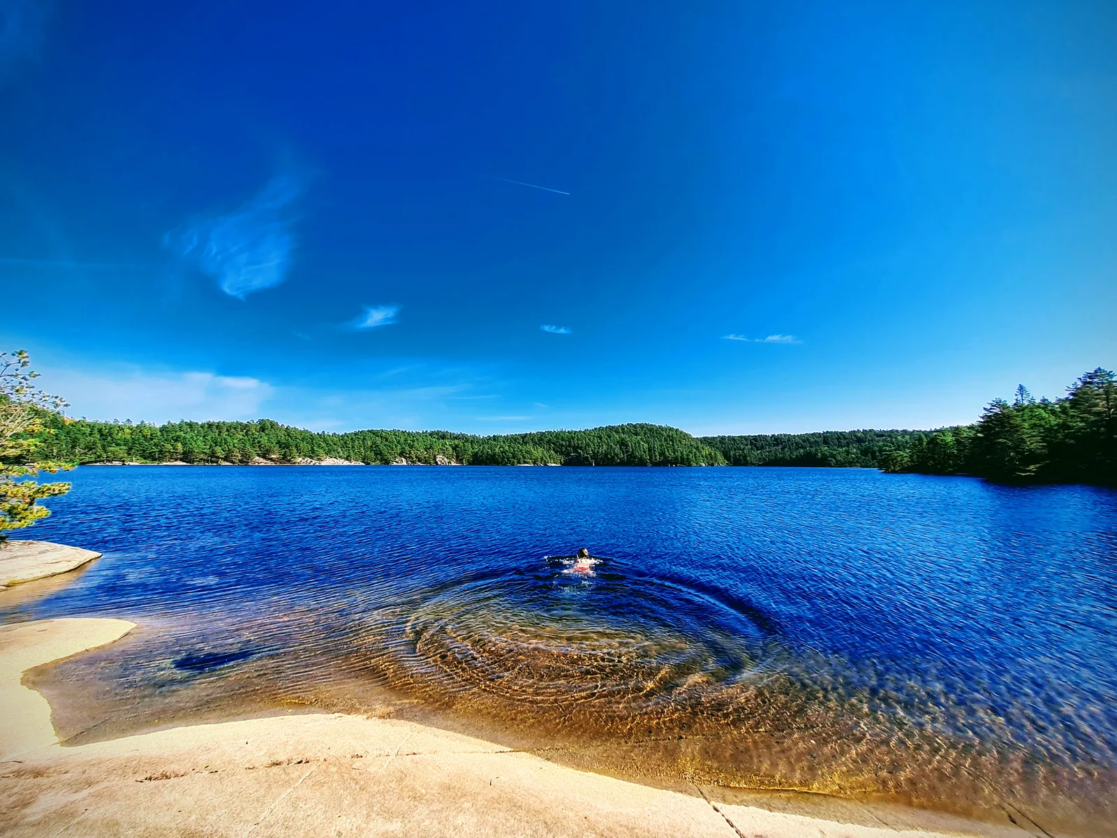
Day 2 tracked northward through the Bullaren lake corridor for 17.7 km. The trail followed indented shorelines and rocky promontories with granite slabs sloping directly into deep freshwater. The stage offered multiple warm swimming stops and complete solitude, ending at a secluded shoreline clearing in the northern lake woods.
Day 3 climbed out of the main lake basin into the fault-trough woodland of Håvedalen for 17.0 km. The route joined the orange-marked Bohusleden trail, crossing peat bogs on wooden duckboards and ascending through mossy pine stands to reach the small rural hamlet of Flöghult at the foot of the Björneröd massif.
Day 4 was the demanding finale: a 38.6 km push across the crest of Bohuslän and out to the Skagerrak coast. The morning began with a climb to Björnerödspiggen (222 m), the highest natural point in Bohuslän, offering open bedrock views toward Norway’s Idefjord. West of the ridge, dried-up seasonal streams forced an ambitious push through rural lanes and Kuststigen trail links all the way to Strömstad harbor and railway station.
Getting there
Tanumshede is accessible by regional train on the Bohusbanan line or by direct Västtrafik express bus from Gothenburg (Göteborg Centralstation, ~1h 45min).
From Strömstad at the end of the route, direct Västtrafik buses (lines 830 and 831) run regularly back to Tanumshede station in approximately 45 to 55 minutes. Both endpoints are well connected by public transit, making logistics straightforward without requiring two vehicles.
Accommodation
Wild camping is permitted throughout the traverse under Sweden’s right of public access (allemannsretten), provided camps are pitched at least 150 meters away from private residences.
The route offers exceptional wild camping spots on quiet lake shores and rocky granite shelves along Bullaren and Flöghult. Wooden wind shelters (vindskydd) and dry toilets are situated along the Bohusleden sections, but a reliable tent is essential for flexible camping. During late summer dry periods, seasonal feeder streams often dry up completely—always pitch camp near major lakes or carry sufficient filtered water before committing to dry forest bivouacs.
What to bring
- Lightweight freestanding tent: essential for pitching on granite slabs and shallow moss where stakes cannot penetrate.
- Dependable water filter (hollow-fiber or pump) and at least 2.5–3 liters of water carrying capacity.
- Reliable power bank (10,000–20,000 mAh): the trail through Bullaren and northern Bohusleden is off-grid with limited cell reception.
- Swimwear or quick-drying towel: late-summer lake water in Bullaren is warm and ideal for daily swims.
- Sturdy hiking shoes or trail runners: the terrain alternates between gravel tracks, forest loam, and granite bedrock.
- Offline navigation: GPX tracks loaded onto smartphone or dedicated GPS device.
- Lightweight rain shell and insulating midlayer for cooler evenings near the lakes.
Tips
- Take advantage of lake swimming in late August; water temperatures are mild and shores are deserted.
- Carry at least 2.5 to 3 liters of water capacity during late summer; ephemeral woodland streams frequently dry out, requiring reliable lake filtering.
- Pack a lightweight freestanding tent; granite slabs and thin moss layers often prevent deep peg placement.
- Check the Västtrafik timetable in advance for bus lines 830 and 831 from Strömstad station back to Tanumshede.
- Keep a power bank on hand; while public power outlets exist at transit stops, the trail itself is completely off-grid.
Links
- Bohusleden Trail Guide
- Kuststigen Coastal Trail
- Västtrafik Public Transport Timetables
- Swedish Right of Public Access (Allemansrätten)
- Tanum Rock Carvings World Heritage
Downloads
Full Route GPX: All 4 Days Day 1 GPX: Tanumshede to Gudenäset Day 2 GPX: Gudenäset to Bullaren Lakes Day 3 GPX: Bullaren Lakes to Flöghult Day 4 GPX: Flöghult to Strömstad