



 Duration
Description
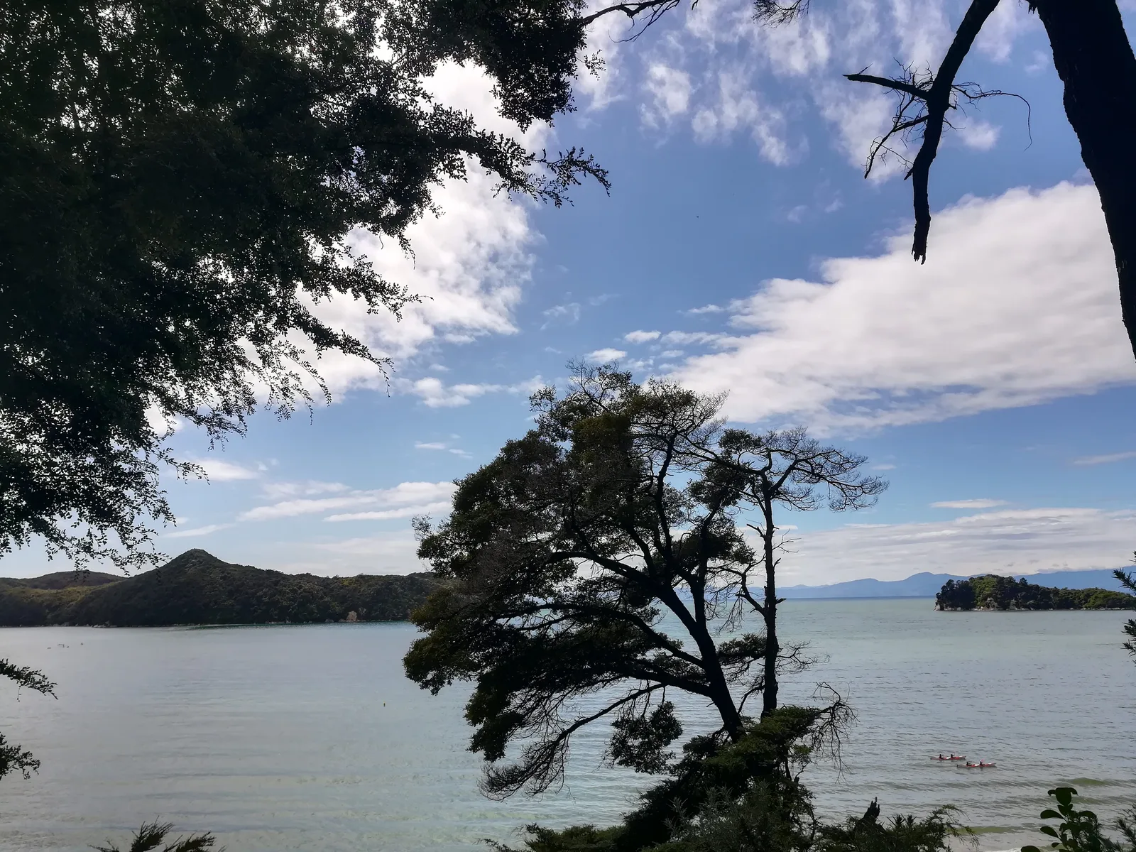
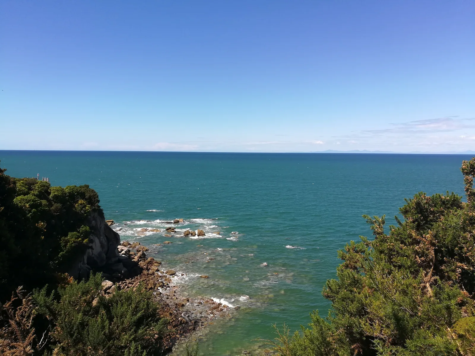
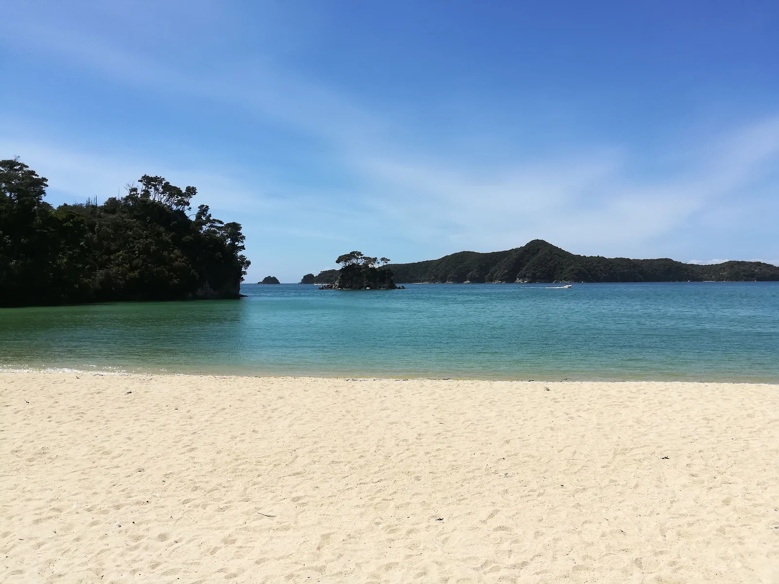
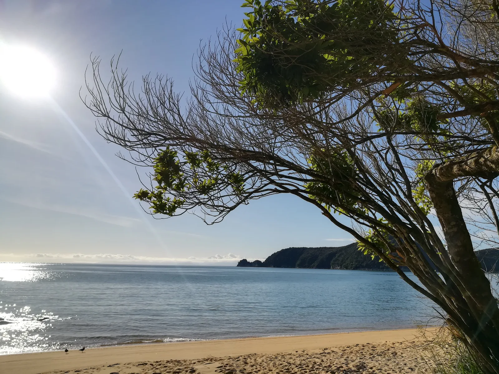
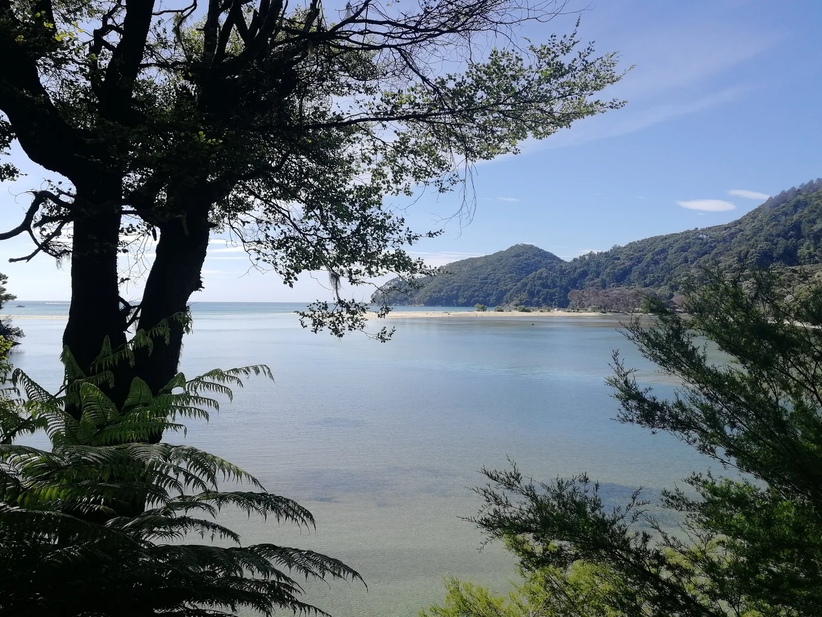
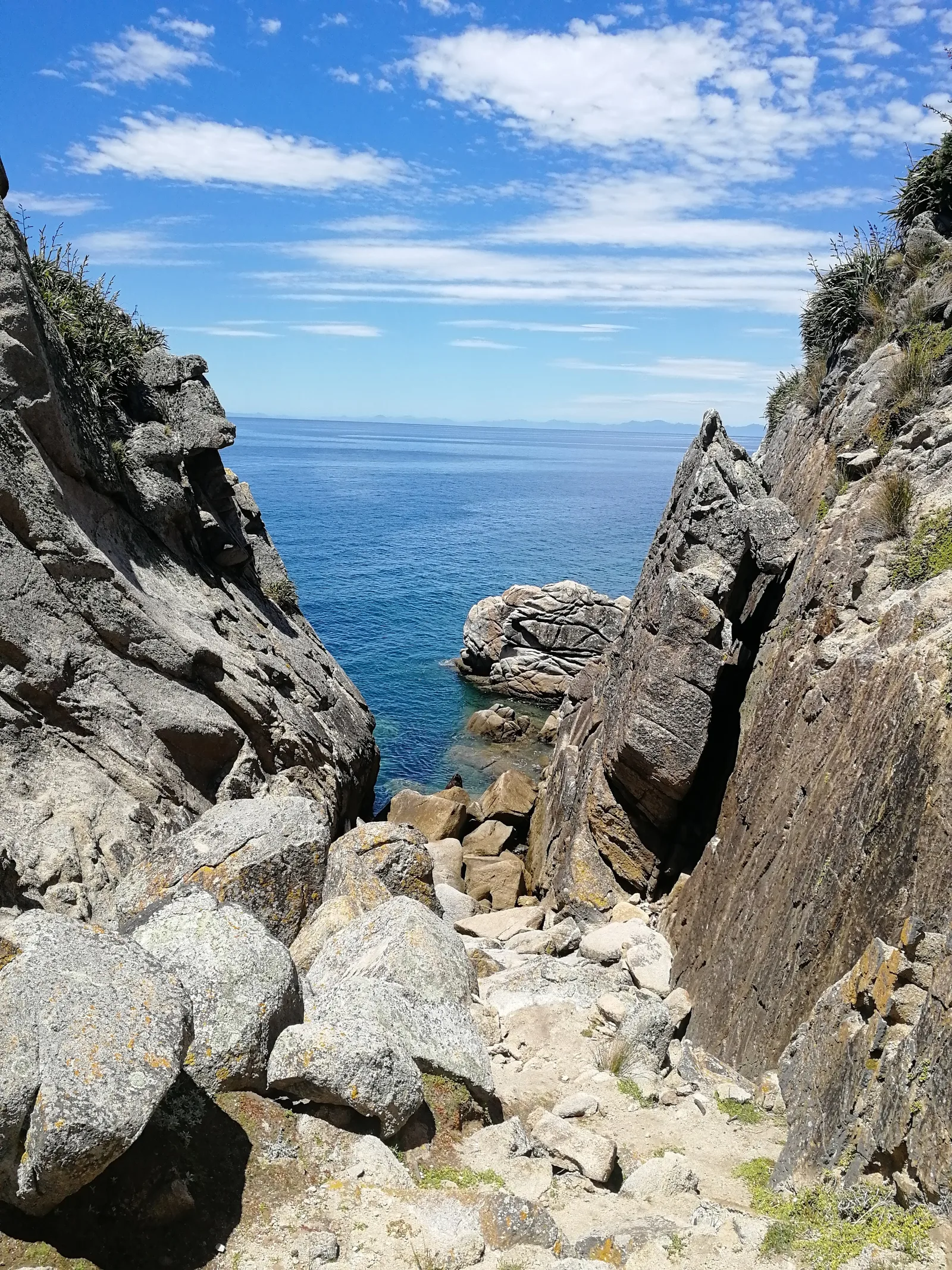
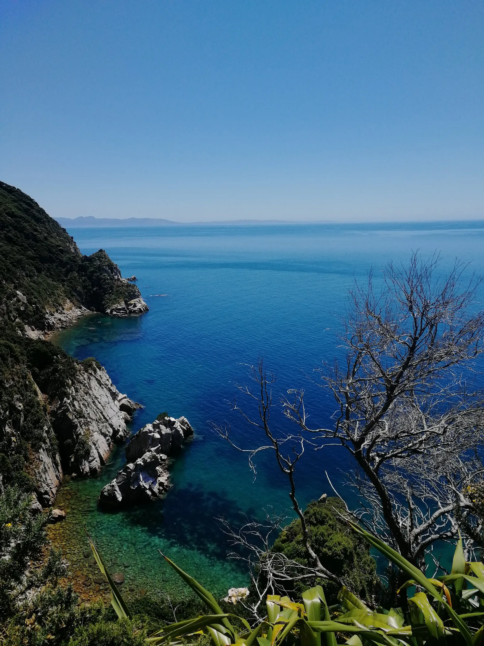
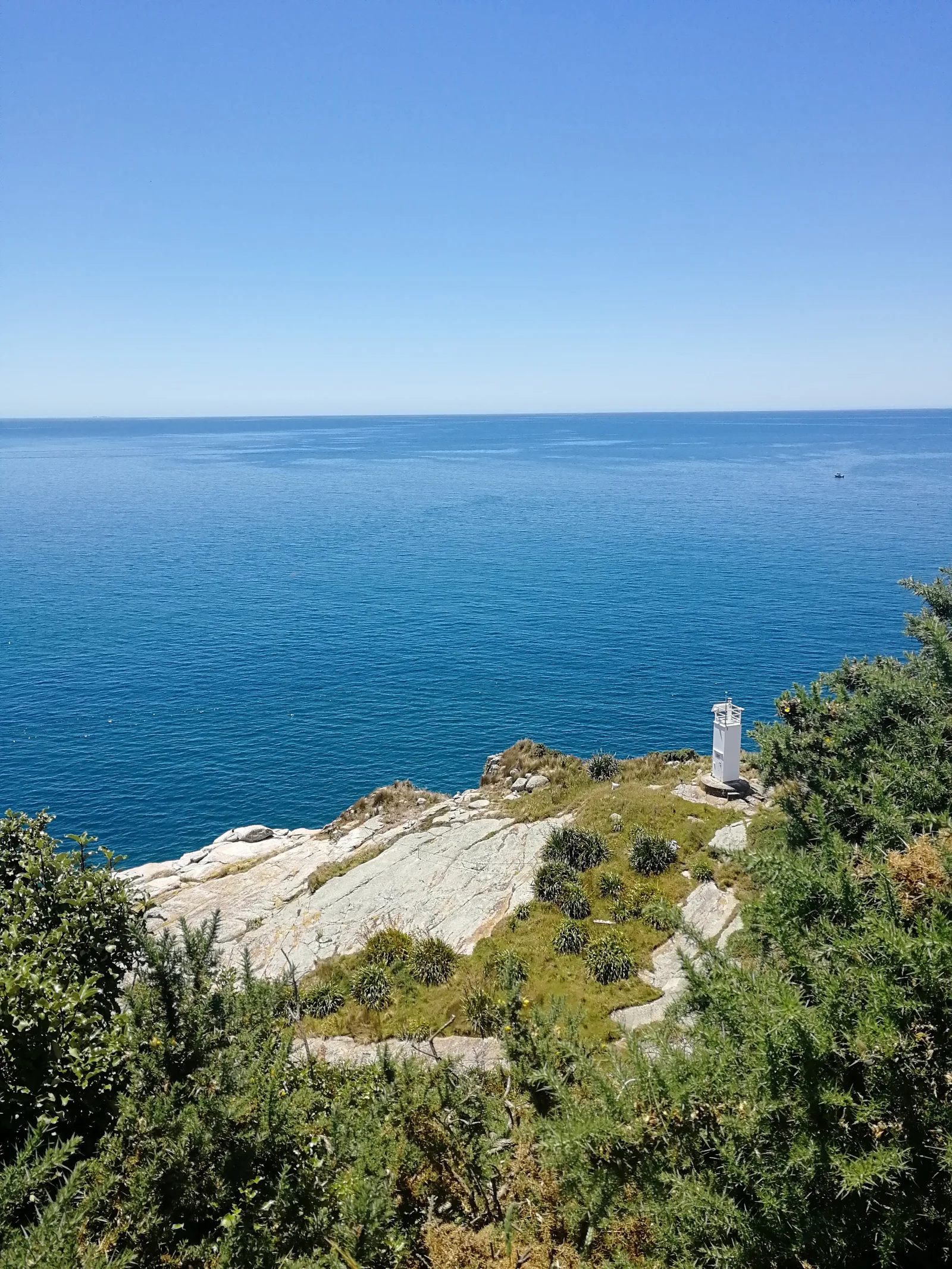
Winding through granite cliffs, coastal podocarp rainforest, and sweeping golden sand crescents, the Abel Tasman Coast Track is widely celebrated as New Zealand’s gentlest Great Walk. Its real charm, however, reveals itself when you step off the gas. Instead of rushing between stages, planning for short hiking days that conclude by early afternoon allows plenty of time to enjoy the sun, swim in sheltered coves, and watch curious weka families scurry across the sand.
The track sits within Abel Tasman National Park at the northern edge of the South Island. Because it follows the coastal margin, elevation gains remain modest, though frequent rolling undulations over granite ridges add up across several days. Coastal water temperatures in the Tasman Sea remain brisk even in midsummer, making natural freshwater swim stops like Cleopatra’s Pool particularly inviting. With a well-maintained network of Department of Conservation (DOC) huts and seaside tent sites, paired with reliable commercial water taxi services that simplify return transfers from Totaranui, this route offers an exceptionally accessible multi-day coastal backpacking experience.
Day-by-day
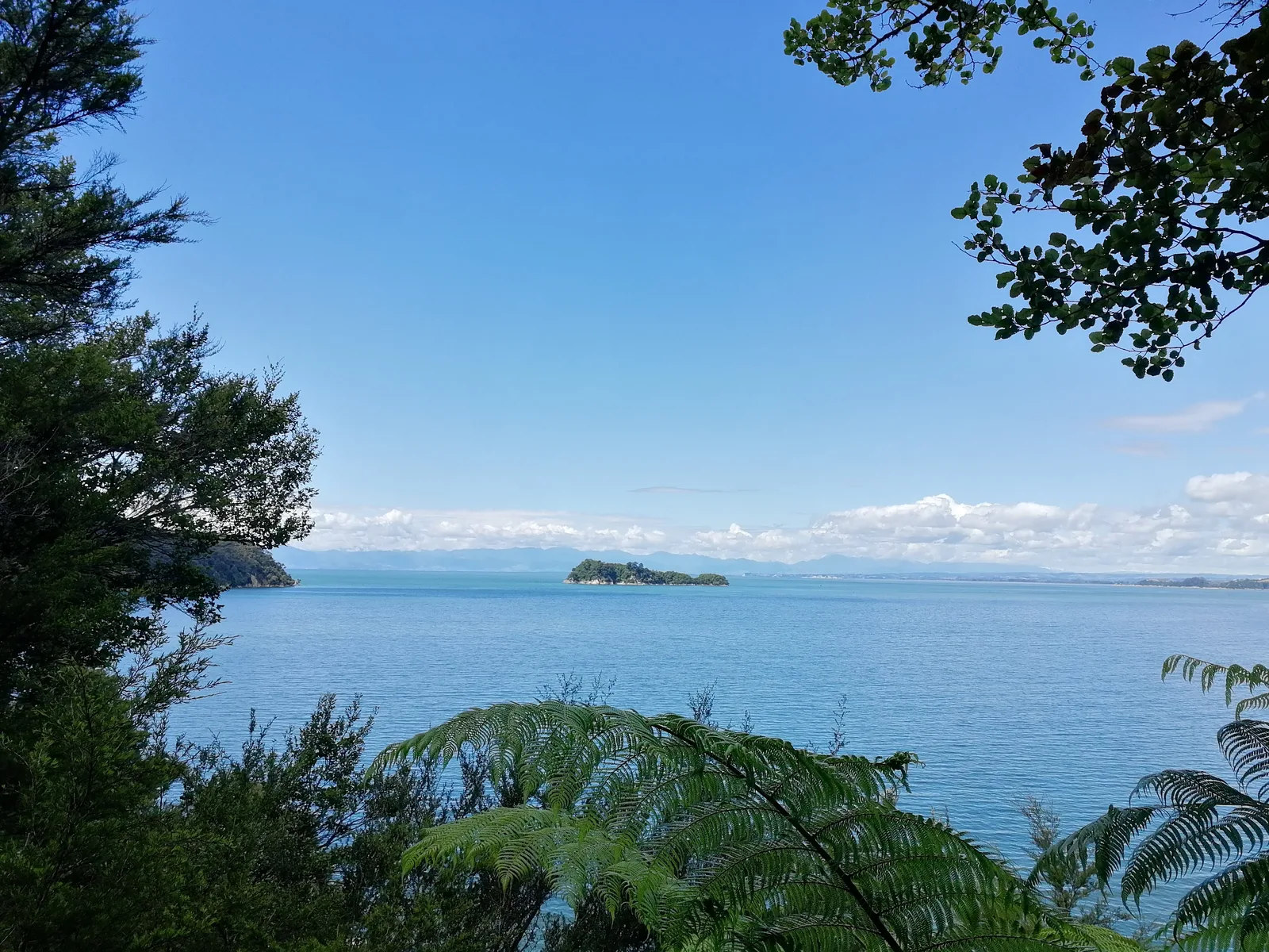
Day 1 departs from the Marahau causeway, tracing the tidal shoreline through lush coastal scrub and kanuka groves before climbing gently onto coastal ridges with open views across Tasman Bay to Adele Island. Side trails lead down into secluded beaches like Coquille Bay and Apple Tree Bay. The route rounds Guilbert Point and drops down to the golden sand at Observation Beach, where quiet beachside campsites sit shaded beneath the coastal canopy facing Adele Island. After pitching camp and shedding heavy packs, the afternoon continues pack-free along the trail over the ridge past Anchorage and around the Pitt Head Nature Loop, climbing past an ancient Māori pā site to expansive coastal lookouts before descending into the idyllic, sheltered horseshoe cove of Te Pukatea Bay, returning to camp at Observation Beach for the night.
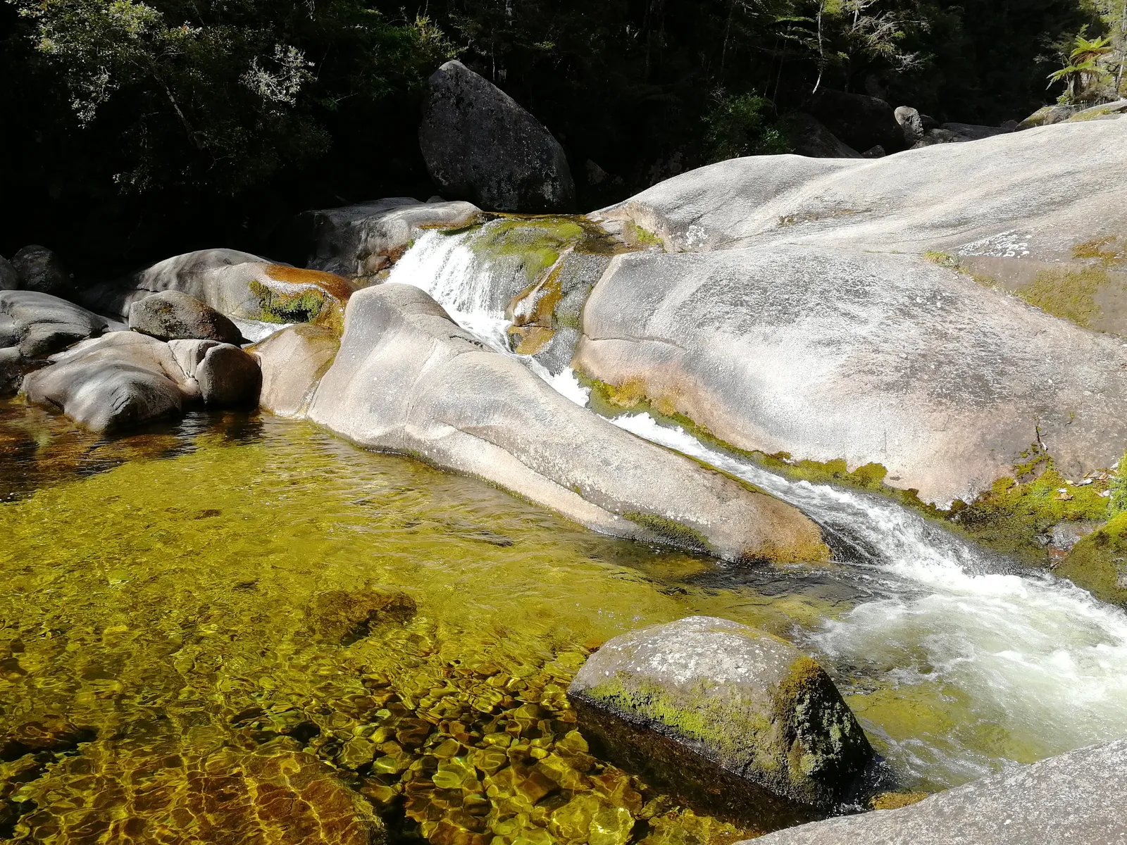
Day 2 departs Observation Beach, climbing over the coastal saddle and traversing past Anchorage to reach the head of Torrent Bay. Here lies an essential route decision depending on the tide: a direct low-tide crossing across Torrent Bay sands saves roughly an hour, while the high-tide track winds inland around the estuary margin. A short side excursion upstream reaches Cleopatra’s Pool, where a cool freshwater torrent slides down smooth granite chutes into a deep amber swimming basin. Continuing north, the track crosses Falls River on an impressive suspension bridge before arriving at Bark Bay, where a sheltered sandspit separates the open ocean from a tidal lagoon.
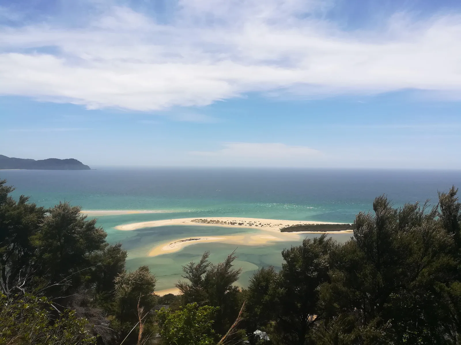
Day 3 climbs out of Bark Bay over a forested saddle into Tonga Quarry, where relic granite blocks from historic workings rest on the shoreline. The path then hugs Onetahuti Beach, bordering the Tonga Island Marine Reserve. A boardwalk traverses the sensitive wetland estuary behind the beach before the trail climbs through beech and fern forest over a ridge into Awaroa Bay. The DOC hut and beach campsites sit quietly beneath the canopy near the vast tidal inlet, where curious wild weka families frequently roam along the edges of the forest.
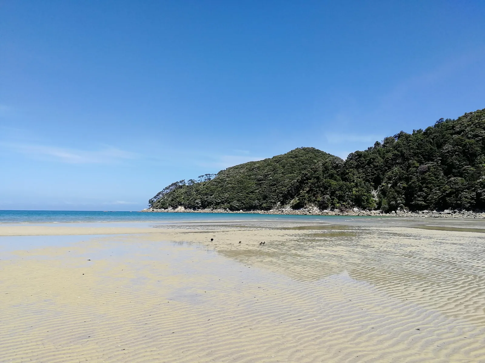
Day 4 is strictly governed by the tides. Awaroa Inlet is impassable at high water; hikers must cross within two hours on either side of low tide. Wading barefoot through the shallow, warm tidal channels and firm rippled sandbars is a signature highlight of the journey. Once across, the trail climbs through coastal podocarp forest to Goat Bay and crosses the ridge to Totaranui, an expansive golden beach backed by coastal trees. After pitching camp, an unburdened afternoon excursion leads north along the coastal bluffs towards Separation Point before returning to Totaranui for the night.
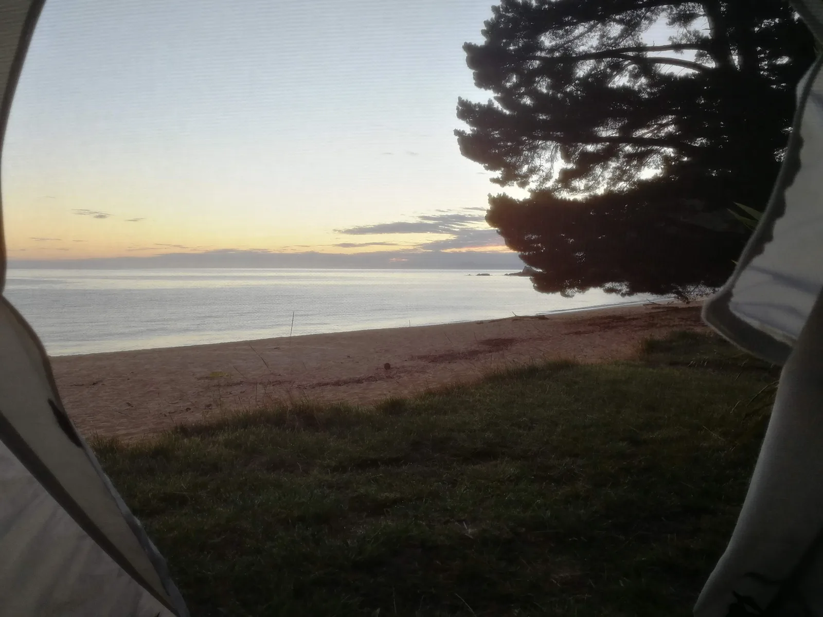
Day 5 starts with dawn breaking across the open sea viewed directly from the tent door at Totaranui as wekas forage across the quiet campsite grass. After packing up, the trail heads south along the coastal ridge for 6.6 km through Waiharakeke Bay towards the designated water taxi landing near Awaroa. Boarding the boat from the beach, the exhilarating return cruise speeds south along the entire granite coastline, providing an unforgettable vantage point of every headland, cove, and sandspit traversed on foot over the preceding days.
Wildlife: wekas, kererū, and California quail
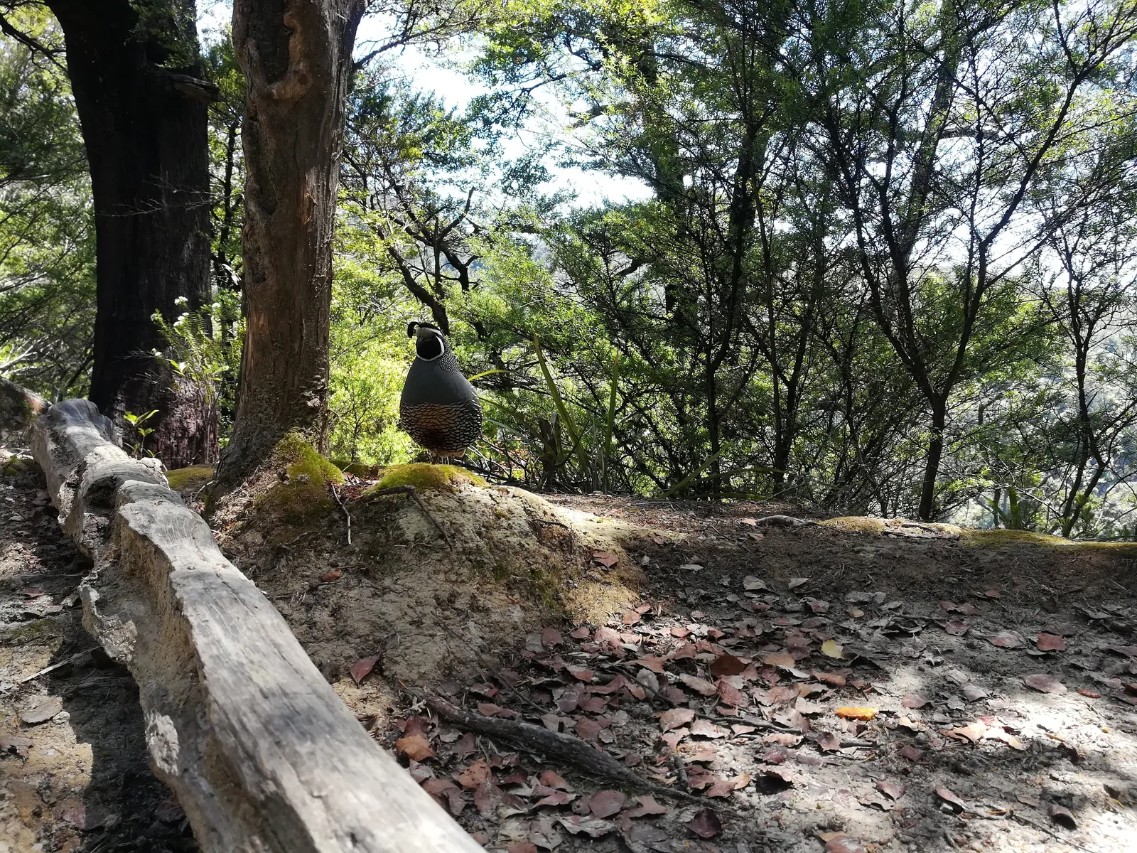
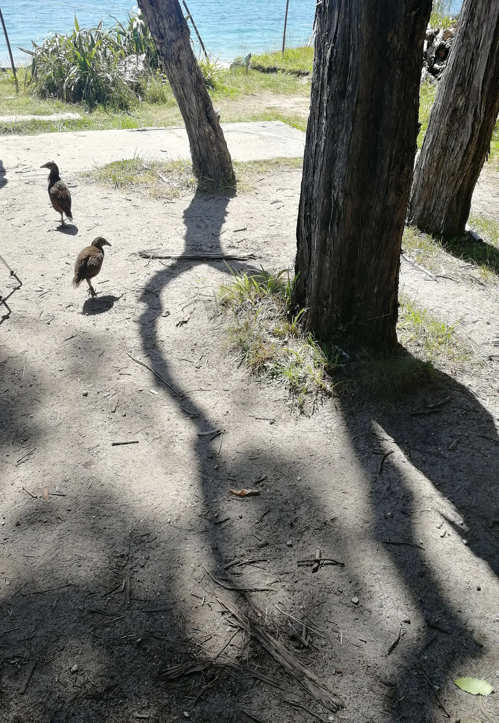
The coastal forests and beaches of Abel Tasman are home to a vibrant avian population. The most prominent resident along the campsites is the endemic weka (Gallirallus australis), a flightless, chicken-sized brown rail known for fearless curiosity. Whole families forage openly along the sandy forest tracks and picnic clearings. In the dense canopy overhead, the distinctive heavy wingbeats of the endemic kererū (Hemiphaga novaeseelandiae)—the large New Zealand wood pigeon with iridescent green-bronze plumage and a sharp white vest—can frequently be heard as they feed on native berries. Along the sun-dappled beech and manuka tracks, introduced California quail (Callipepla californica) with their characteristic curved head plumes scurry across the leaf litter.
Getting there
The southern trailhead begins at Marahau, roughly a 1-hour drive (65 km) northwest of Nelson or 20 minutes from Motueka. Regular shuttle buses operate daily between Nelson, Motueka, and Marahau during the Great Walk season.
Return logistics are straightforward: multiple licensed water taxi operators (such as Abel Tasman AquaTaxi and Wilson’s Sea Shuttle) run scheduled boat transfers from the beach at Totaranui, Awaroa, and Bark Bay back to Marahau or Kaiteriteri. Advance booking is strongly recommended during peak summer months (December through February).
Accommodation
The track features four serviced DOC huts (Anchorage, Bark Bay, Awaroa, and Whariwharangi) and 18 designated campsites situated directly along the coastal path. Huts offer communal bunkrooms, non-flush or flush toilets, and rainwater supply. Campsites provide tent clearings on grass or sand beneath coastal trees, with shared cooking shelters and water taps.
Both huts and campsites must be booked in advance via the Department of Conservation booking portal. Camping near huts is a recommended balance, offering access to beach sunsets while utilizing cooking facilities. Wild camping outside designated DOC zones is strictly prohibited within the national park.
What to bring
- Lightweight freestanding tent suitable for sandy or grass ground (if camping)
- Sleeping bag (comfort rated around 5°C to 10°C is sufficient in summer)
- Compact camp stove, fuel canister, and cookware (no cooking facilities provided at campsites)
- Sturdy walking shoes or light trail runners (heavy leather boots are unnecessary)
- Quick-drying sandals or water shoes for tidal estuary crossings
- Water treatment (boiling or filtration recommended for tap water along the trail)
- Insect repellent against persistent coastal sandflies (sandflies are prevalent on sheltered beaches)
- Sun protection: wide-brim hat, high-SPF sunscreen, and sunglasses
- Dry bags or heavy-duty pack liners to protect electronics during tidal crossings and boat boarding
Tips
- Check tide timetables carefully before departing: Awaroa Inlet can only be crossed within 1.5 to 2 hours on either side of low tide.
- Torrent Bay can be crossed on foot at low tide to save 3 km, or via the scenic high-tide inland track.
- Do not leave unattended food, utensils, or shiny gear outside your tent: local wekas are remarkably bold and adept at opening packs.
- Take your time and plan for early afternoon finishes: the calmest swimming conditions and best sun exposure happen in the middle of the day.
- Cleopatra’s Pool is an exceptional freshwater detour: allow an extra 45 to 60 minutes for the side trail upstream from Torrent Bay.
- Water taxis load and unload directly in the surf at Totaranui; be prepared to wade into ankle-deep water when boarding.
Links
DOC Abel Tasman Coast Track Official Guide DOC Online Booking Service Abel Tasman AquaTaxi Service LINZ New Zealand Tide Predictions
Downloads
Full Route GPX Stage 1 GPX Stage 2 GPX Stage 3 GPX Stage 4 GPX Stage 5 GPX