



 Duration
Description
The Heaphy Track is one of New Zealand’s premier Great Walks, traversing the rugged northwest wilderness of Kahurangi National Park on the South Island. While the full 78.4 km route links Brown Hut in Golden Bay across high tussock downs to the Kōhaihai River mouth on the West Coast, completing the entire track end-to-end with a single vehicle presents a formidable logistical barrier. No road crosses the mountains between the two trailheads. Connecting them by vehicle requires a grueling 460 km, 7- to 8-hour drive via Murchison, Inangahua, and the Buller Gorge. Commercial hiker shuttles, vehicle relocation services, and scenic charter flights operate, but they are expensive, seasonal, and commit trampers to rigid schedules.
With a single rental car, we opted to walk the coastal section as an out-and-back from Kōhaihai to Heaphy Hut. The route concentrates the tramp within the track’s most atmospheric and biologically unique section: subtropical coastal rainforest, dense groves of native Nikau palms (Rhopalostylis sapida), sweeping sandy beaches, crashing Tasman Sea breakers, and the wide tannin-tinted waters of the Heaphy River mouth.
The track itself is built and maintained to excellent Great Walk standards, featuring a firm benched tread, gentle gradients, and substantial bridges across all major waterways. Elevation changes remain modest, totaling 656 m of ascent across both days as the trail climbs over low coastal headlands. The primary considerations are environmental rather than technical: coordinating the passage at Crayfish Point with the ocean tide, managing persistent West Coast sandflies whenever pausing, and being prepared for sudden Atlantic-style squalls rolling off the Tasman Sea.
Day-by-day
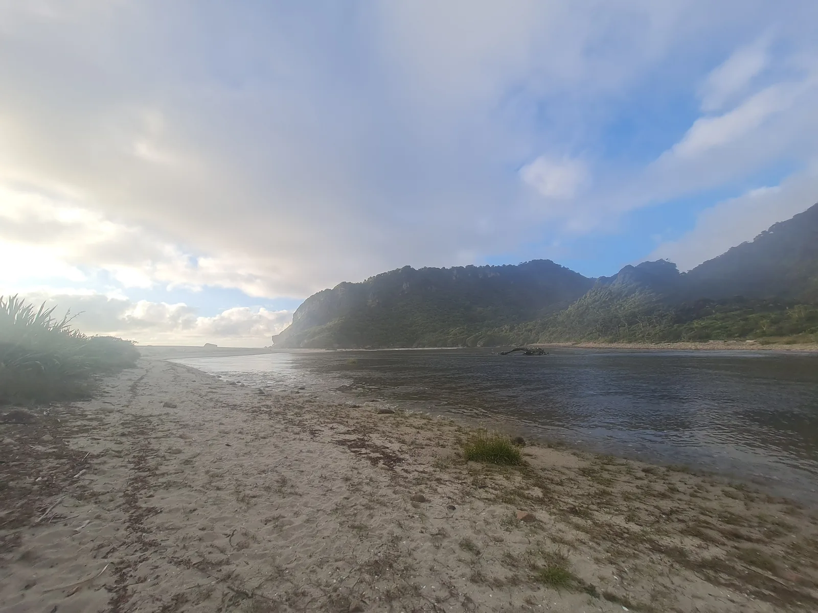
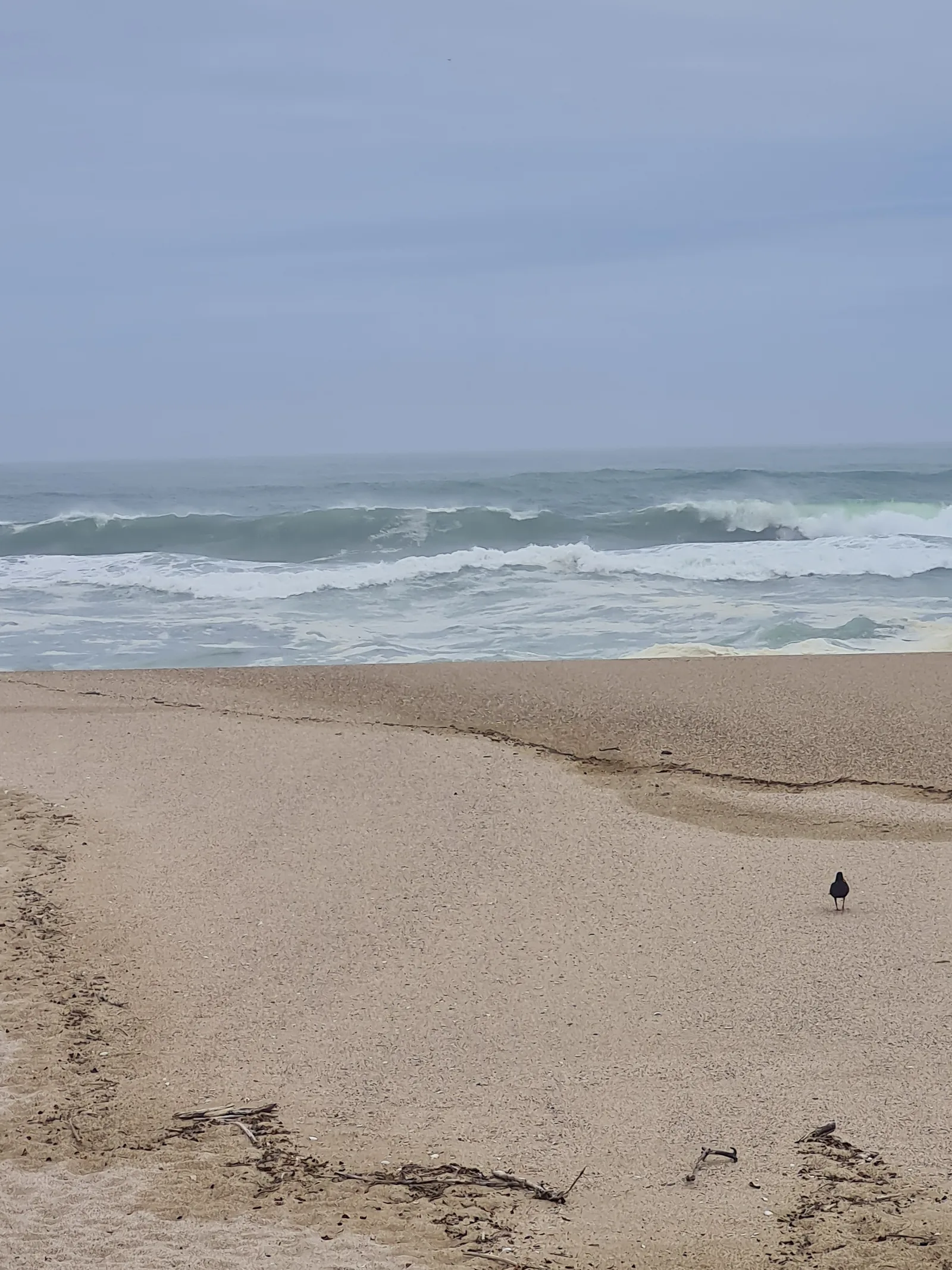
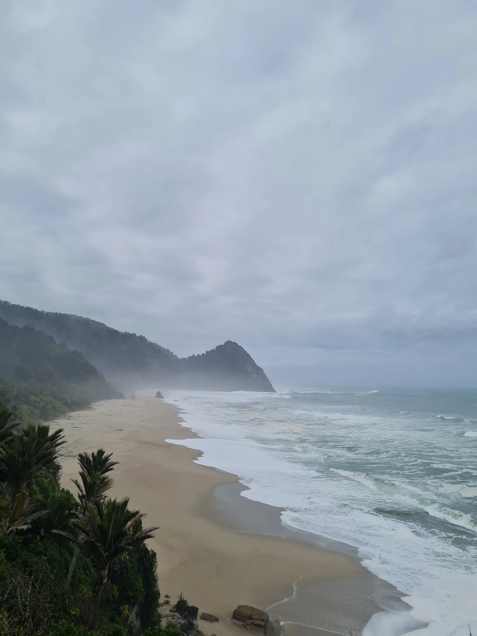
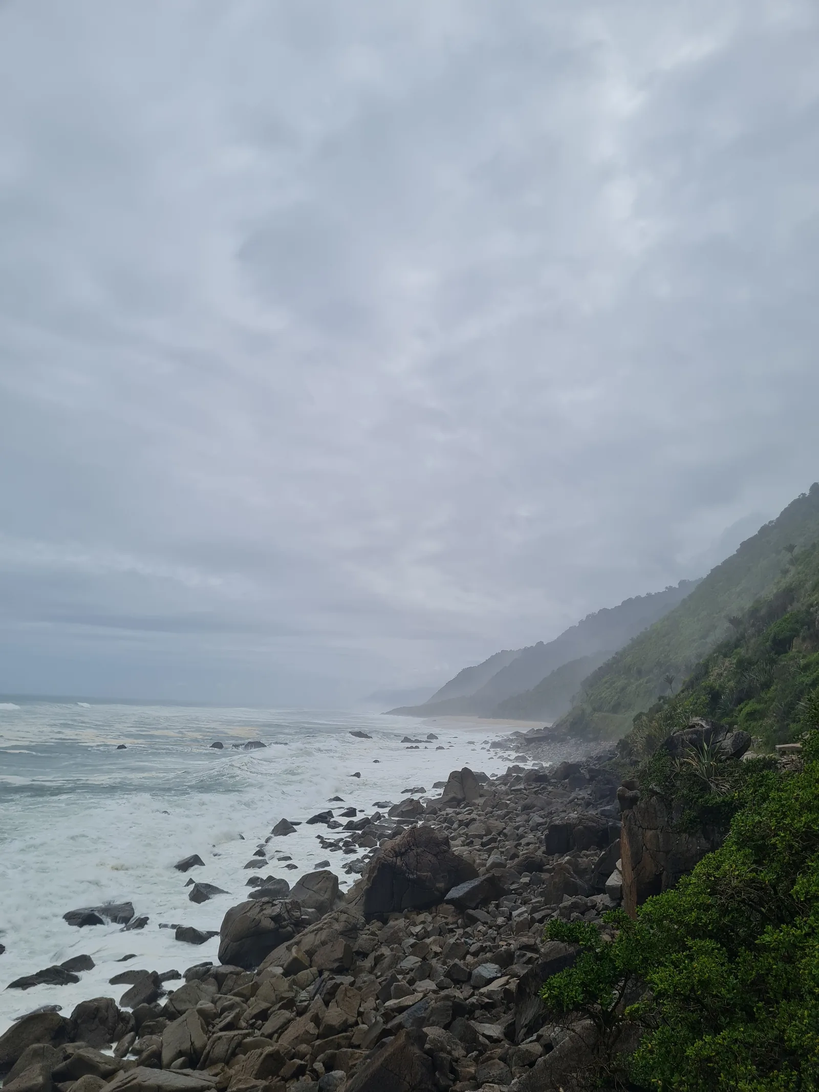
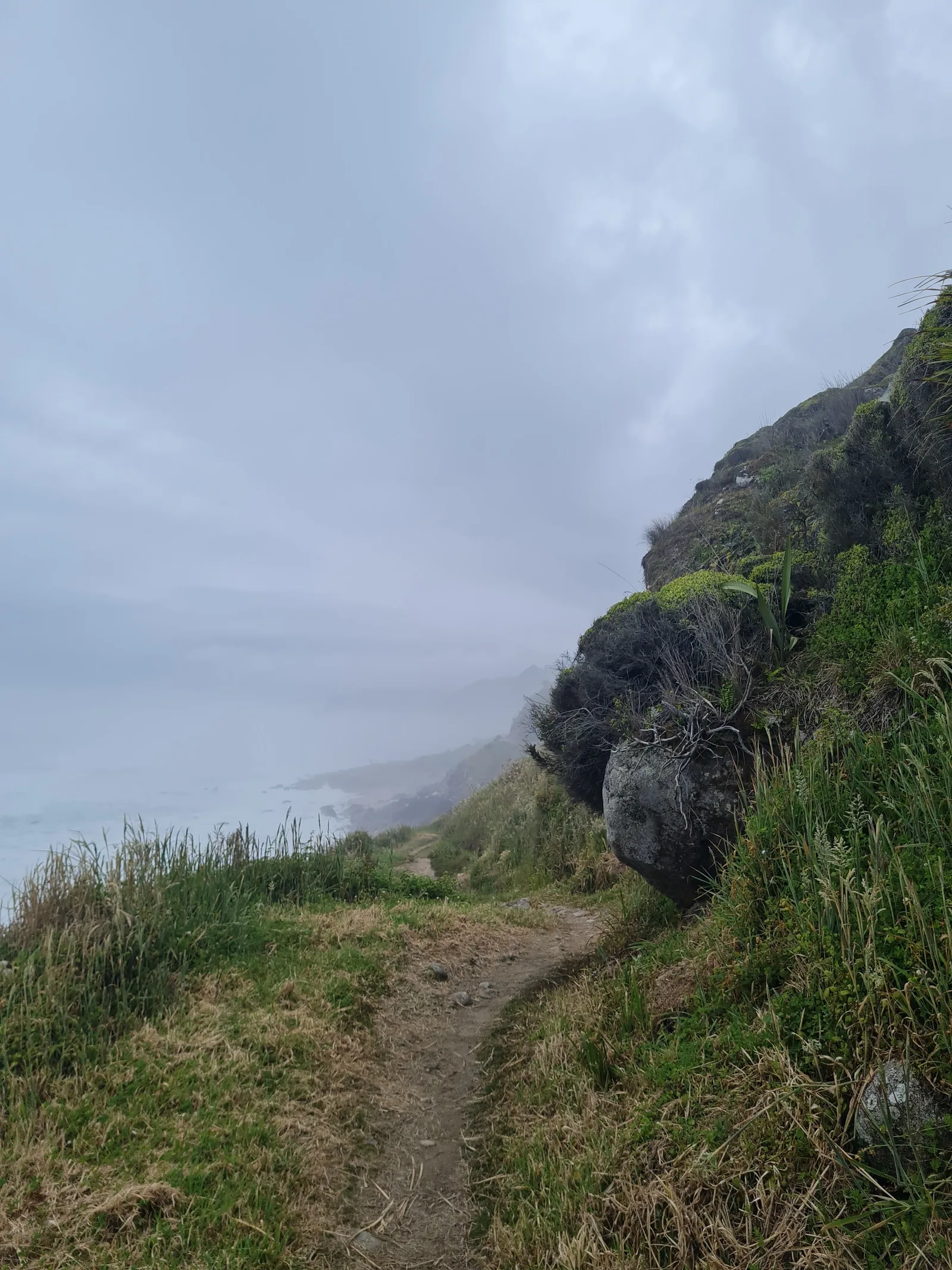
Day 1 started from the quiet Kōhaihai campsite at the dead-end road north of Karamea. The track wound along the tidal riverbank beneath tall Nikau palm fronds before climbing steadily through coastal broadleaf forest to cross Kōhaihai Bluff. Reaching the crest revealed an immediate view down over Scott’s Beach, where heavy sea spray drifted across the sand and waves broke hard against offshore rock stacks. Dropping onto the beach margin, the route followed a sandy terrace backed by steep coastal cliffs. Past Katipo Creek and its shelter, the terrain narrowed at Crayfish Point, requiring careful footwork across the sea-sculpted granite boulders within the two-hour low-tide window. Approaching the Heaphy River, the track joined the magnificent 148-meter suspension bridge spanning the dark river waters, arriving directly at the grassy flats of Heaphy Hut. The day covered 15.6 km with 270 m of ascent.
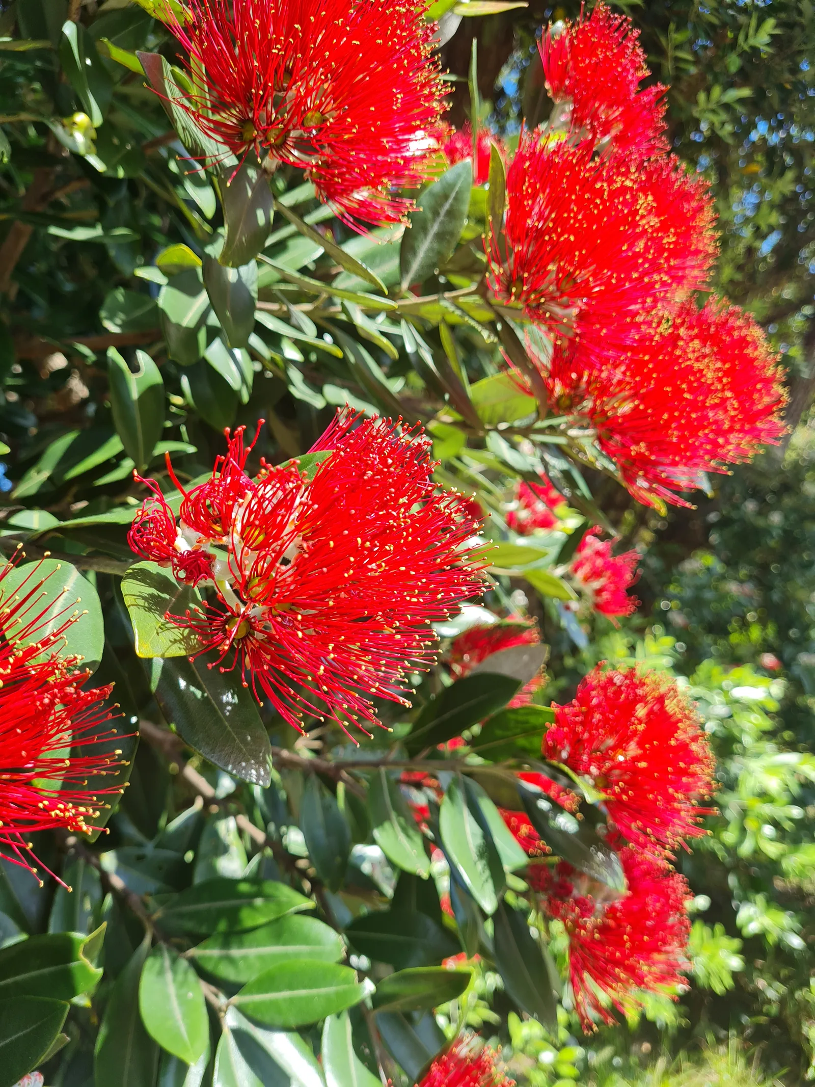
Day 2 retraced the coastal path southward from Heaphy Hut to Kōhaihai, covering 15.3 km with 386 m of ascent. Departing early in the morning took advantage of the low-tide window at Crayfish Point, allowing an unhurried traverse across the rocky shoreline without risk from surging ocean breakers. Walking the track in reverse offered entirely fresh perspectives on the landscape: morning mist clung to the sheer forested bluffs, and sunbeams cut through the coastal canopy onto blooming red Southern Rātā trees. After traversing the inland fringe of Scott’s Beach, a final climb led over Kōhaihai Bluff, followed by an easy downhill gradient back to the sheltered campsite lawn, picnic tables, and the waiting camper van at Kōhaihai.
Getting there
The trail begins and ends at the Kōhaihai River mouth, situated at the northern terminus of the road network on the South Island’s West Coast. The nearest service town is Karamea, located 15 km south of the trailhead.
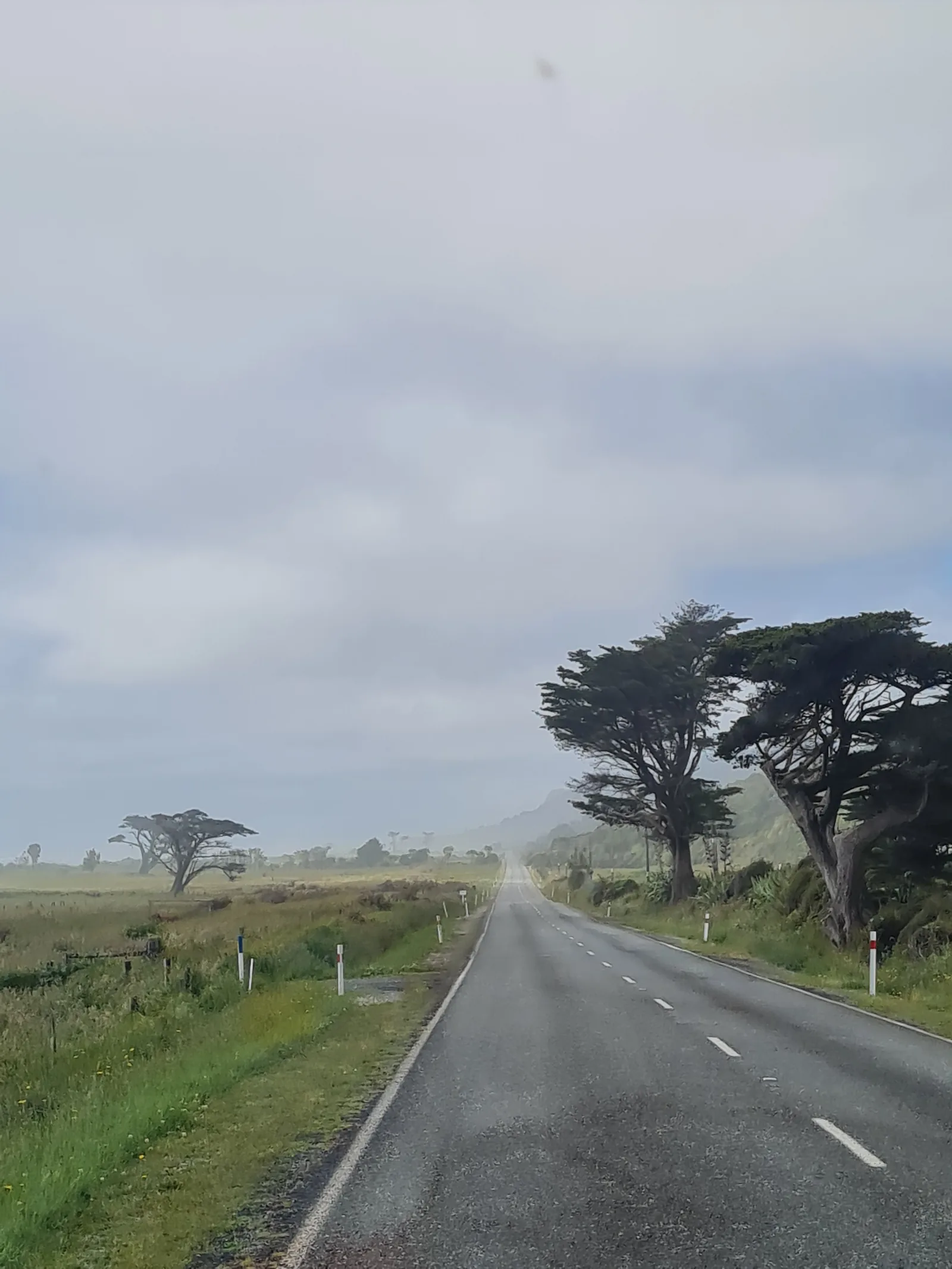
From Westport, drive north along State Highway 67 for approximately 100 km (around 1.5 hours), crossing the scenic Karamea Bluff before descending onto the coastal dairy plains. Continue through Karamea and follow the sealed road northward until it turns to well-maintained gravel, ending at the spacious Kōhaihai DOC campground and car park.
For those considering the full 78.4 km end-to-end traverse: be aware that Brown Hut (the northern trailhead in Golden Bay) and Kōhaihai are separated by 460 km of mountain and highway driving. Operating a single private car between both ends requires either hiring a vehicle relocation driver (typically $300–$450 NZD) or booking commercial shuttle buses connecting via Nelson. Small chartered aircraft operated by Golden Bay Air connect Karamea airstrip with Takaka and Wellington, but weather delays are common. For travelers with a single car who want to experience the track without complicated car relocations, walking in and out from Kōhaihai is a great alternative.
Accommodation
Accommodation along this section consists of serviced Department of Conservation (DOC) infrastructure at both the turnaround point and the road-end trailhead:
Heaphy Hut is a modern 28-bunk Great Walk serviced hut located on the river terrace near the Heaphy River mouth. Amenities include communal bunkrooms with thick foam mattresses, solar electric lighting in common areas, stainless steel food preparation benches, indoor running cold water, flush toilets, and a wood-burning stove with firewood provided. Advance reservations through the DOC online booking system are mandatory during the Great Walk season (Labour Weekend in late October through April 30).
Heaphy Hut Campsite is situated on the open grassy river flat immediately adjacent to the main hut building. Campers have access to an outdoor cooking shelter with running water, sinks, and separate flush toilets, but are not permitted to use the indoor hut facilities or bunkrooms. Pitching a tent here allows complete immersion in the river lagoon setting, though campers must contend with persistent sandflies; keep your tent securely zipped whenever you are not inside.
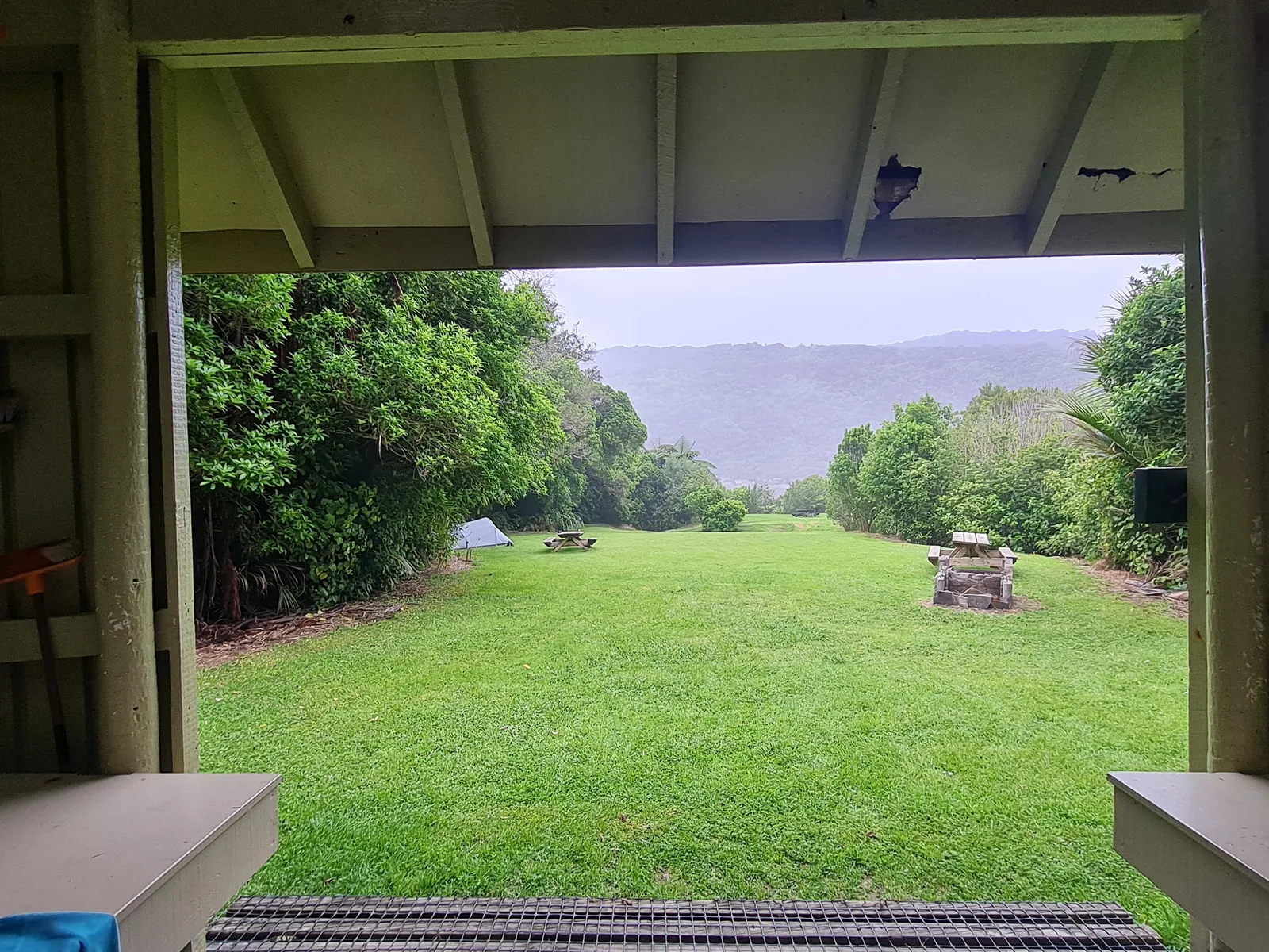
Kōhaihai DOC Campsite sits directly at the trailhead car park. It offers expansive grassy camping areas nestled beneath native bush, sheltered picnic benches, non-flush vault toilets, and cold running water from rainwater tanks. It serves as an ideal base for camping the night before setting off or recovering after the return hike. Fees are payable via self-registration kiosk or online DOC booking.
What to bring
- Insect repellent with high DEET or picaridin concentration.
- Tent if camping (keep doors zipped at all times to keep sandflies out).
- Printed or downloaded tide timetable for Karamea/Heaphy to calculate the low-tide window at Crayfish Point.
- Sturdy trail runners or lightweight hiking boots with sticky rubber outsoles for damp boardwalks and wet shoreline boulders.
- Quality waterproof shell jacket and pack liner; maritime storm fronts off the Tasman Sea can drop significant rain in short periods.
- Reliable power bank (10,000 to 20,000 mAh); huts and shelters have no electrical power outlets or USB charging ports.
- Water purification tablets or a compact filter; all hut and campsite water is sourced from rain tanks or streams and untreated.
- Personal Locator Beacon (PLB) or satellite communicator; there is zero mobile phone reception anywhere north of Karamea.
Tips
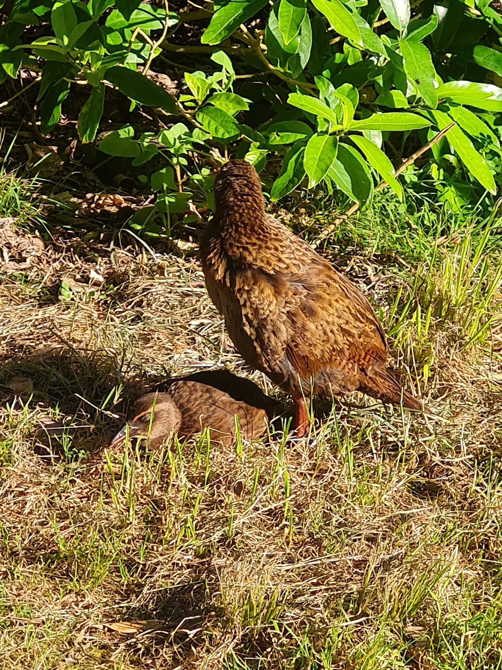
The native flightless weka (Gallirallus australis) is exceptionally abundant throughout Kōhaihai and the Heaphy River mouth. These curious, chicken-sized brown rails frequently gather around tents and picnic benches in groups of four or five. While entertaining and iconic, wekas are brazen thieves with powerful beaks. Never leave food packs, unzipped tents, cooking utensils, boots, or shiny objects unattended on the ground, as wekas will rapidly snatch and drag them into the undergrowth.
Passing Crayfish Point requires strict attention to the tide. At high tide, rolling ocean swells break directly against the base of the coastal cliffs, rendering the rocky beach completely impassable. Trampers must plan their departure so they reach Crayfish Point within two hours either side of low tide. A rough high-tide scramble track exists above the rocks, but it is steep, eroded, and muddy, adding considerable effort.
Swimming in the open Tasman Sea surf at Scott’s Beach or the river mouth bar is dangerous due to steep gravel drop-offs, massive surf breaks, and violent undertows. However, the calm, tannin-stained freshwater of the Heaphy River lagoon beside the hut provides an inviting dip on warm summer afternoons. Take note of the official DOC warning signs posted along the bank: endemic New Zealand longfin eels (Anguilla dieffenbachii) inhabit the river bed and have occasionally bitten wading swimmers in cloudy water. When entering and exiting the water, keep your clothes close at hand and dry off quickly to avoid being swarmed by sandflies.
West Coast black sandflies (Austrosimulium) are ubiquitous along the coastline. Because sandflies fly relatively slowly, they cannot keep up with a steady walking pace of 3 to 4 km/h, meaning you will rarely be troubled while moving along the trail. The challenge starts the instant you stop. Apply repellent before untying boot laces, keep long sleeves and lightweight trousers handy, and avoid idling in damp, sunless clearings.
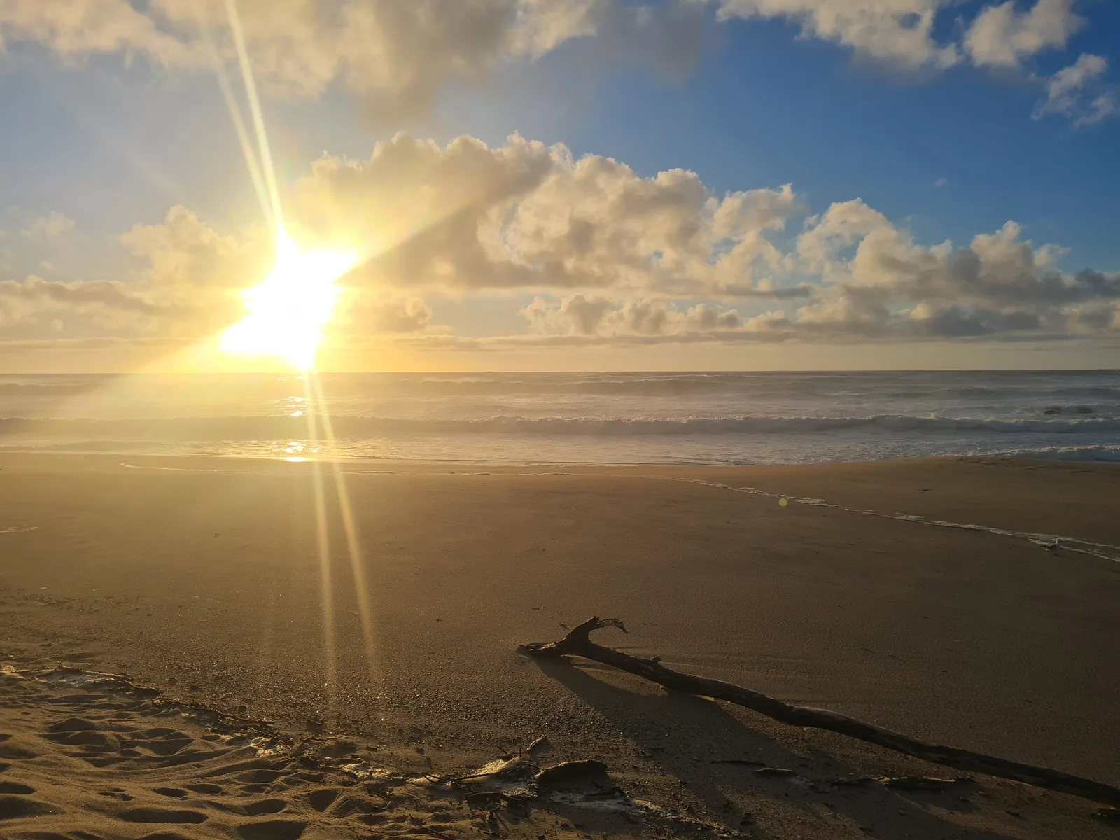
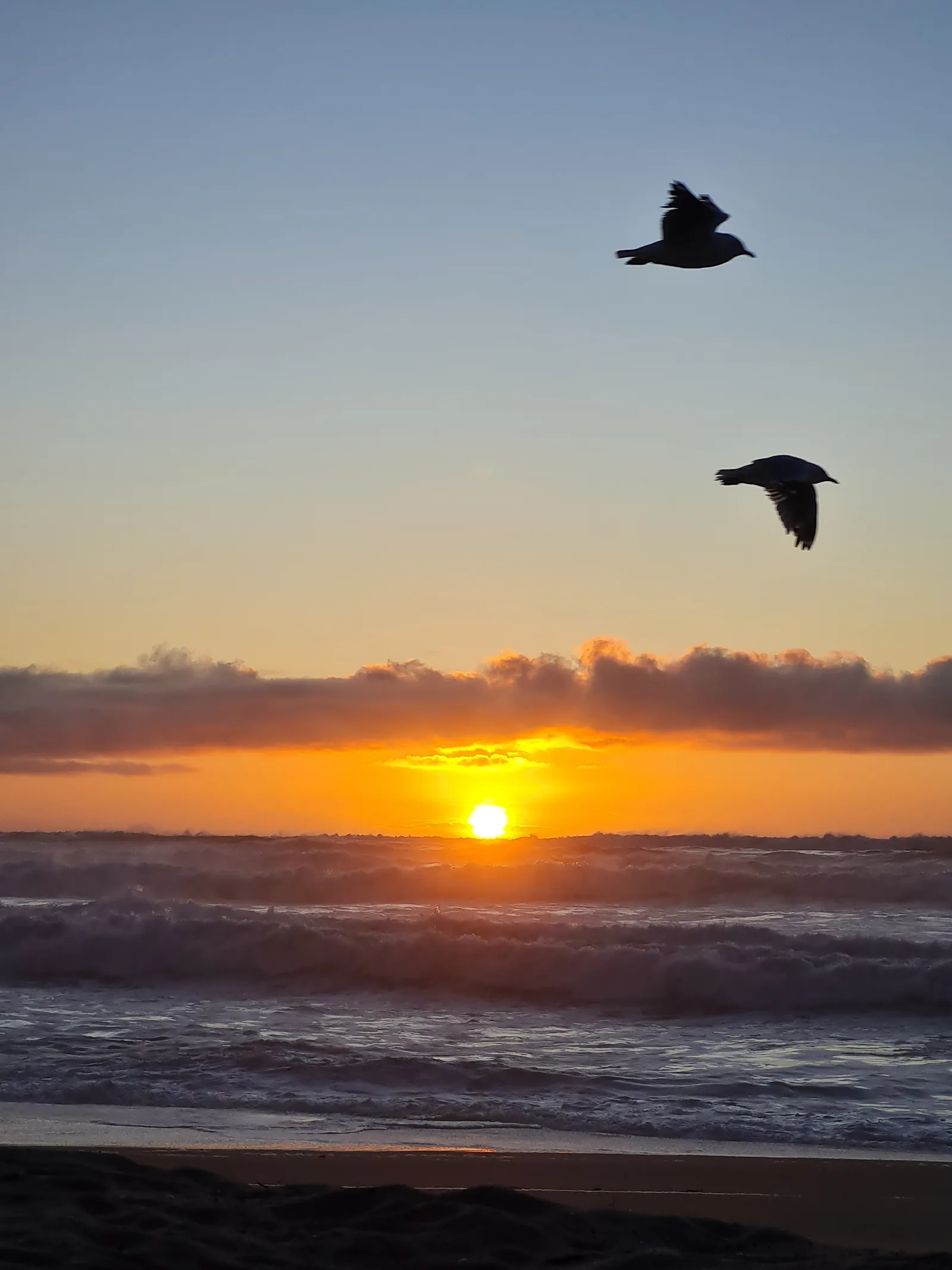
Treating the Kōhaihai campsite as your basecamp creates a relaxed, self-paced itinerary. Driving up from Westport the previous afternoon allows you to settle in, explore the river mouth, and enjoy a quiet sunset over the Tasman Sea from the beach before hitting the trail early the next morning.
FAQ
How long does the Heaphy Track coastal section take?
The out-and-back trek from Kōhaihai to Heaphy Hut covers 30.9 km over two days.
Each leg measures approximately 15.5 km and takes between 4.5 and 5.5 hours of walking at a moderate pace. The well-benched trail and gentle elevation profile allow steady progress, but trampers should factor in extra time to wait for low tide at Crayfish Point.
Why hike the Heaphy Track as an out-and-back instead of end-to-end?
Hiking out-and-back avoids a 460 km, 8-hour road detour between the two trailheads.
With no road crossing Kahurangi National Park, returning to your vehicle at Brown Hut from Kōhaihai requires a long, complex drive around the Southern Alps via Murchison and the Buller Gorge. Independent trampers with a single car can experience the track’s finest coastal rainforest, Nikau palm groves, and beaches without spending hundreds of dollars on shuttles or aircraft transfers.
How do tides affect hiking past Crayfish Point?
Crayfish Point is tide-restricted and must be passed within two hours of low tide.
At high tide, heavy Tasman Sea swells wash directly against the coastal bluffs, submerging the boulder beach. While an emergency high-tide detour track climbs into the bush above the rocks, it is steep, rough, and slow. Consulting a Karamea tide chart before setting out is essential.
Are wekas common along the trail?
Yes, wekas are present in high densities around both Kōhaihai and Heaphy Hut.
These inquisitive, flightless native rails frequently roam campsites in groups of four or five. Because they are bold scavengers that investigate everything in camp, all food, cooking gear, and footwear must be stored inside tents or hut lockers to prevent them from being carried off.
Can you swim at Heaphy Hut?
Swimming is possible in the calm Heaphy River lagoon, but ocean swimming is strictly inadvisable.
The open Tasman Sea surf features deadly rip currents and powerful shore breaks. The dark freshwater lagoon near the hut offers a peaceful swimming spot, though DOC signs warn that large endemic longfin eels live in the river and may nip swimmers in murky water.
How should you prepare for West Coast sandflies?
Carry effective insect repellent and long clothing, and keep your tent zipped.
Sandflies are persistent at the Kōhaihai and Heaphy campsites whenever the wind drops, but keeping moving along the trail prevents bites while hiking. Keep your tent zipped shut at camp, and have long layers and insect repellent handy for evening stops.
Links
Department of Conservation: Heaphy Track Great Walk DOC: Kōhaihai Campsite and Shelter Information NIWA Tide Forecaster: Karamea & West Coast Tides Golden Bay Air: Heaphy Track Flights and Shuttles Kahurangi National Park Weather Forecast (MetService)
Downloads
Heaphy Track — Full Route GPX Day 1 — Kōhaihai to Heaphy Hut GPX Day 2 — Heaphy Hut to Kōhaihai GPX