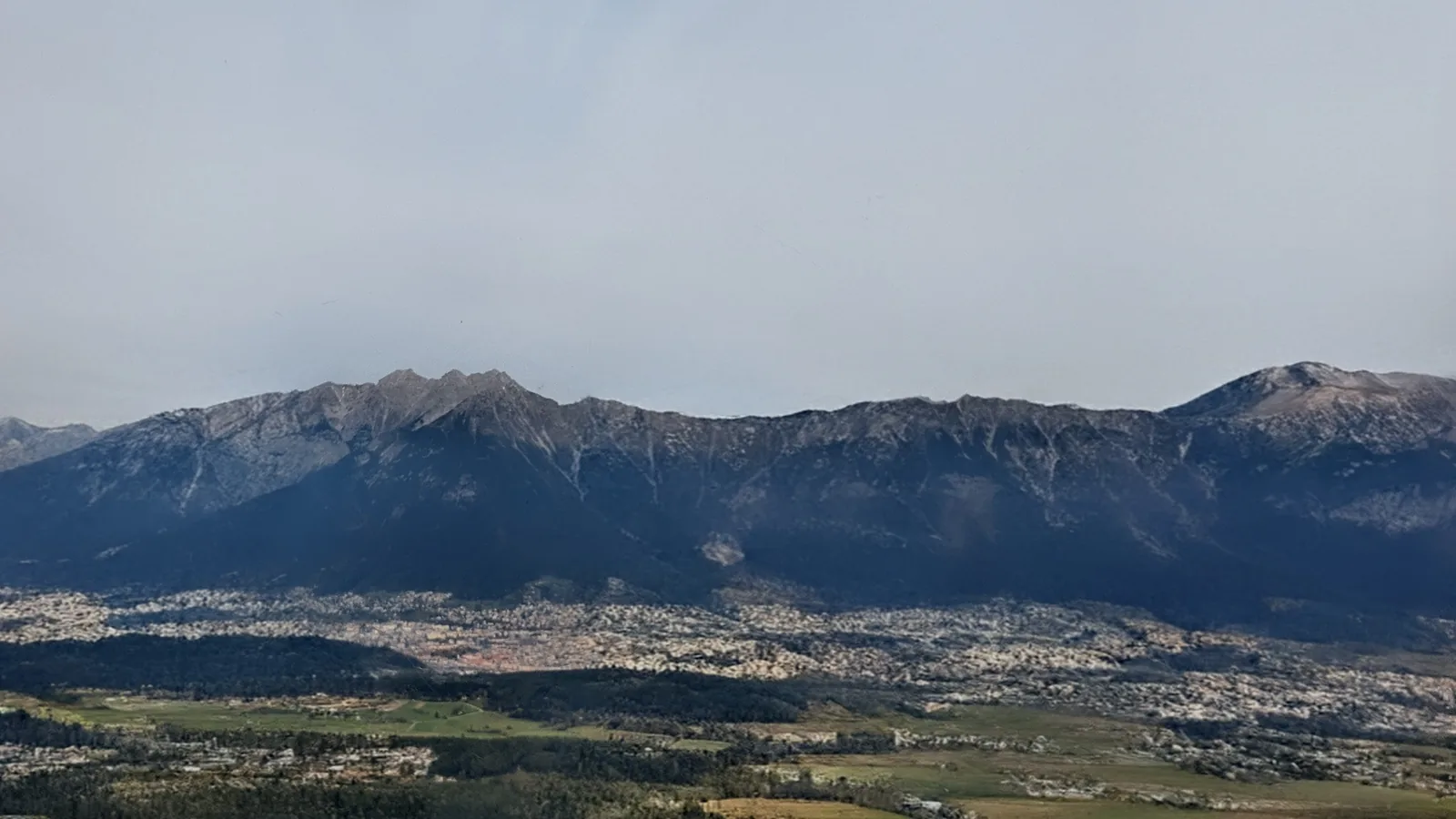




Description
The Mayrhofen Ultraks Zillertal 50K (officially the RK50 or Rastkogel 50) is a scenic alpine trail running loop through the Tux and Zillertal Alps in Tyrol, Austria. Covering 51.1 km with 3,206 m of cumulative ascent and 3,206 m of descent, it combines sustained climbs, panoramic ridgelines above 2,500 m, and long descents back into the valley.
Compared to an event like the Karwendelmarsch, which follows wide gravel tracks and gentle valley trails over long stretches, the Mayrhofen Ultraks runs mostly on classic mountain hiking paths (Wanderwege) with a lot of vertical gain and loss. Because it is a closed loop starting and finishing in Mayrhofen at 632 m, every meter climbed has to be descended again on mountain footpaths. Running fast on these downhill hiking trails is not always easy, which naturally makes for a long day on your feet. For experienced trail runners, taking part in the official event is a great way to tackle the route, as the organized aid stations and full course markings make logistics much simpler over such a long outing.
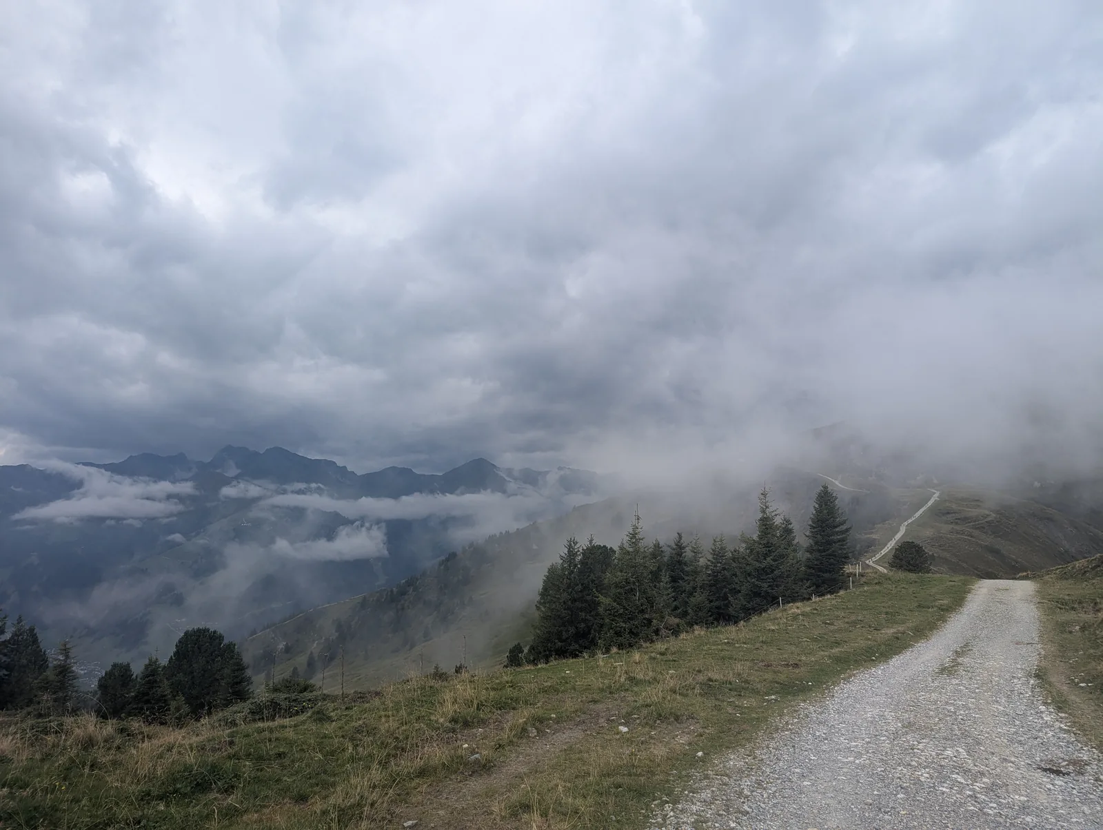
Weather and temperatures at the event in early September can vary widely and it can already get very cold on the upper ridges. In previous years, snow has often covered higher sections of the course, which adds another layer of difficulty to the alpine passages. On our run, we caught a day with plenty of sunshine where temperatures and ridge exposure were never an issue—aside from a brief rain shower along the way, where having a wind and waterproof jacket in the pack paid off immediately.
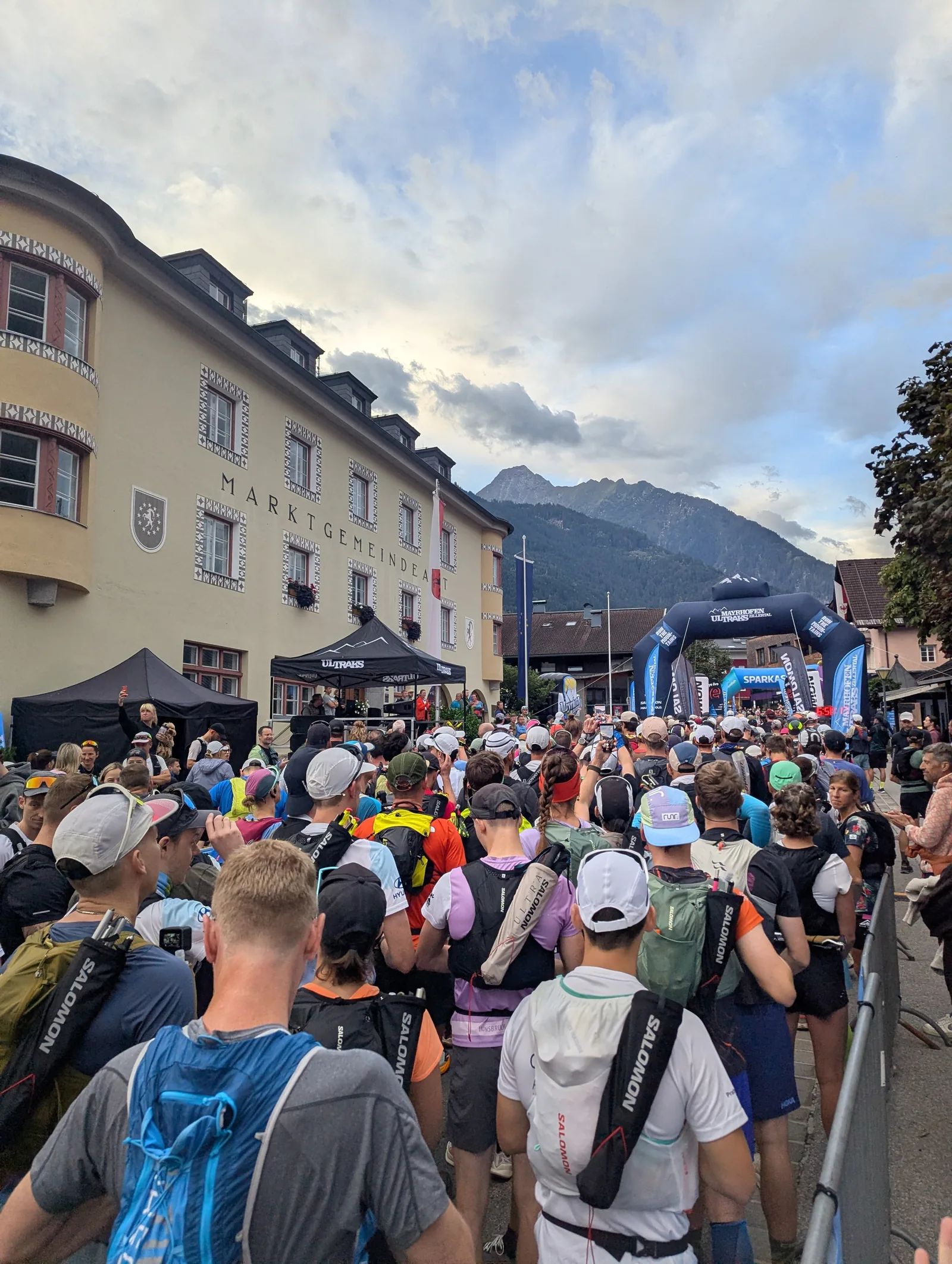
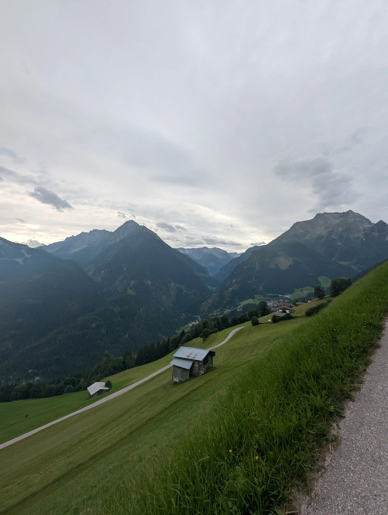
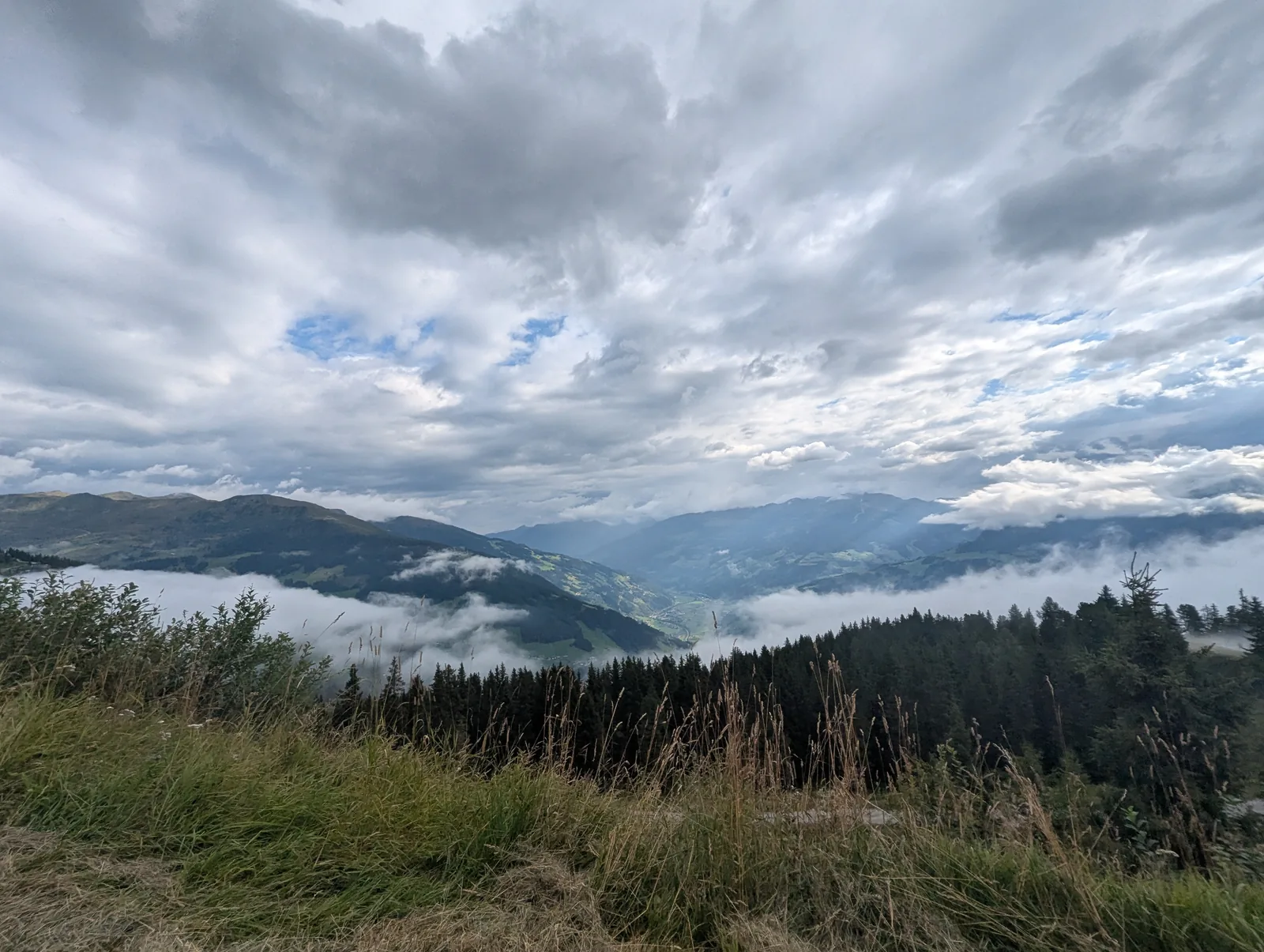
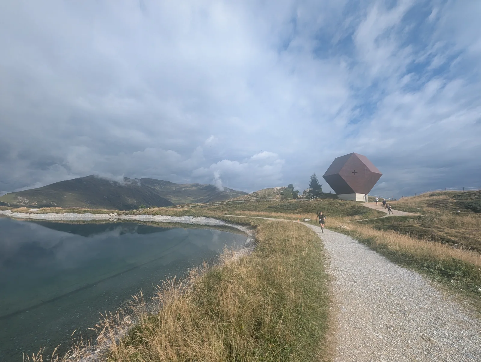
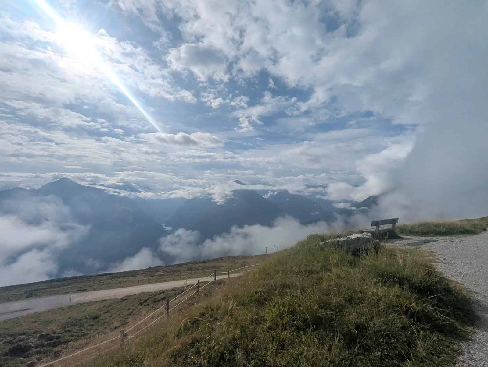
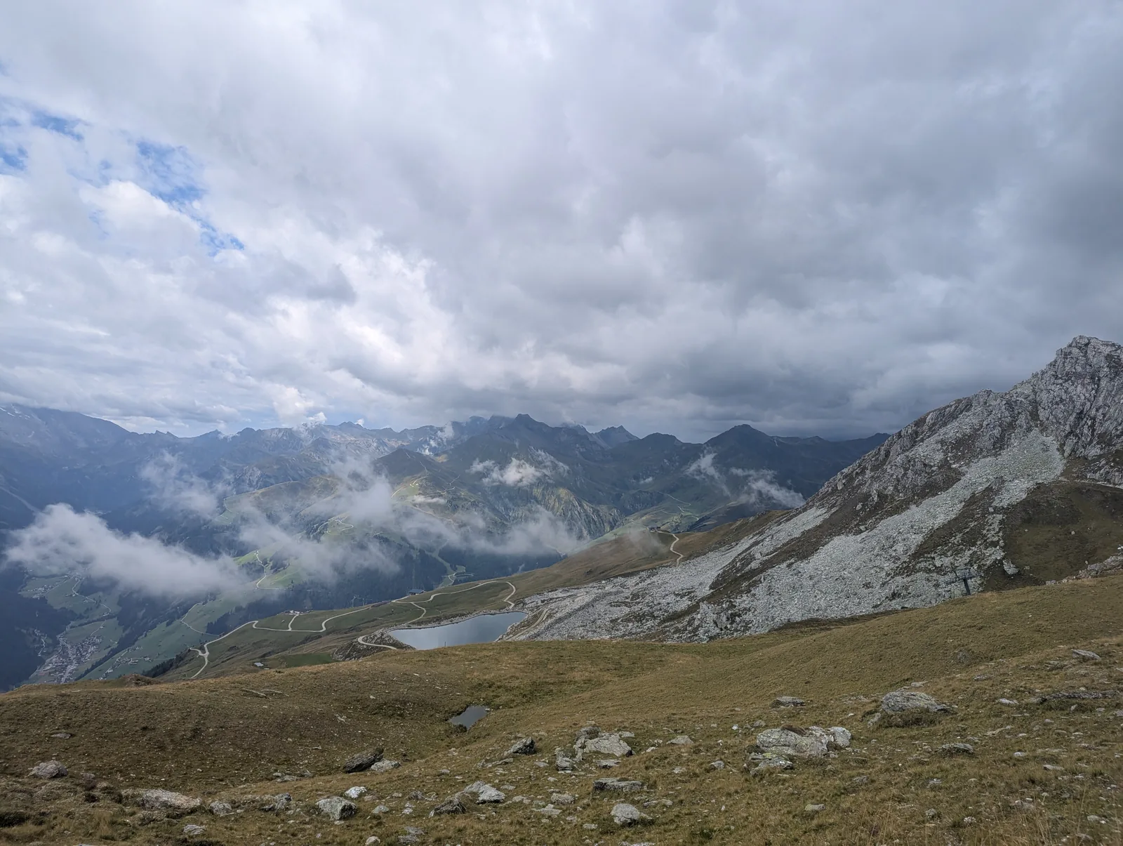
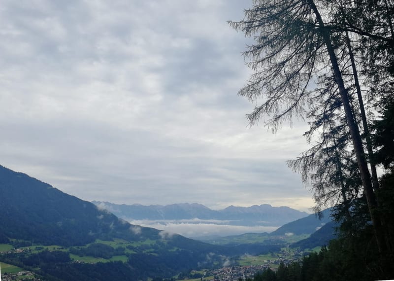
The route begins at 7:00 AM in the center of Mayrhofen in front of the Marktgemeindeamt. Leaving town, the trail heads directly into a steady 1,450 m climb up the western valley flank past the green meadows and wooden hay barns of Astegg. Around 1,850 m, the forest opens up onto the alpine pastures of the Penken plateau, looking out over a layer of morning clouds in the Zillertal valley. At km 12.8, the path passes the calm waters of the Speichersee Penkenjoch reservoir and the timber architecture of the Granatkapelle at 2,087 m.
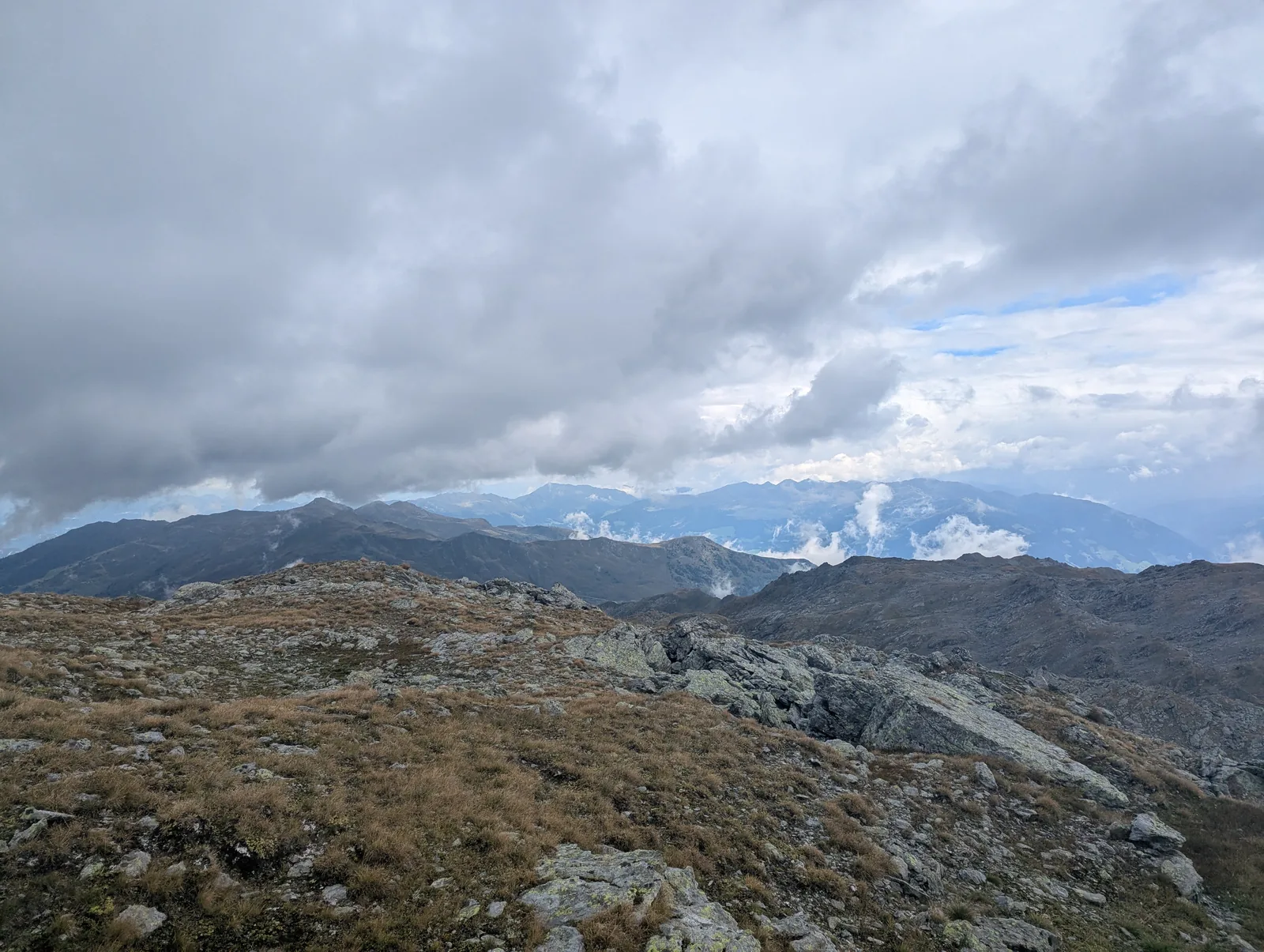
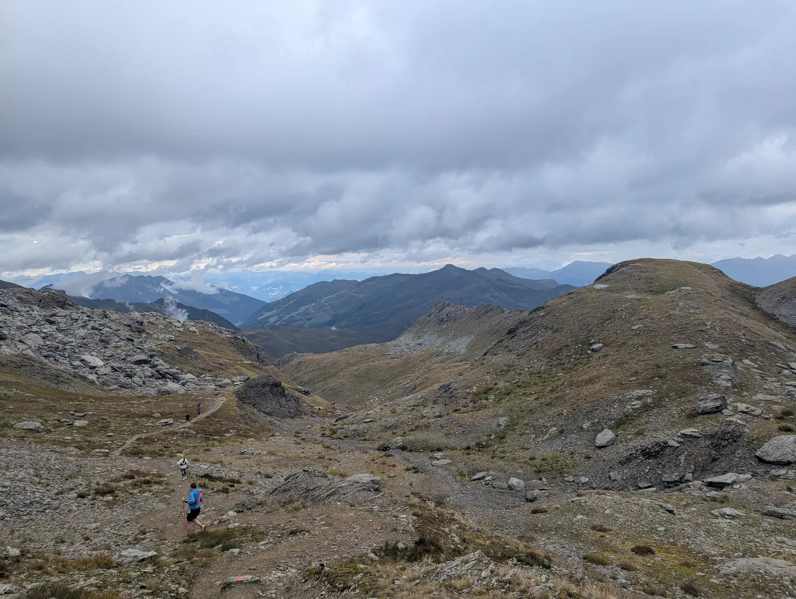
From Penkenjoch, the course moves onto the higher ridges, following mountain tracks and footpaths over Wanglspitze (2,420 m) and Horbergjoch. Above 2,400 m, the trail winds across boulder fields and open alpine slopes to the highest point of the loop along the Rastkogel summit ridge (2,718 m on the GPS track at km 20.4).
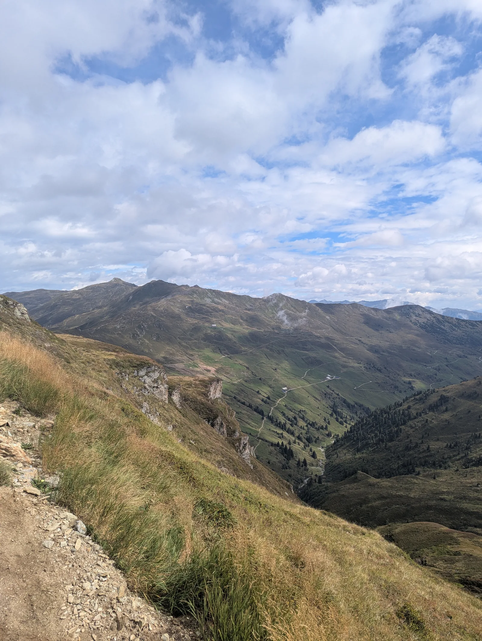
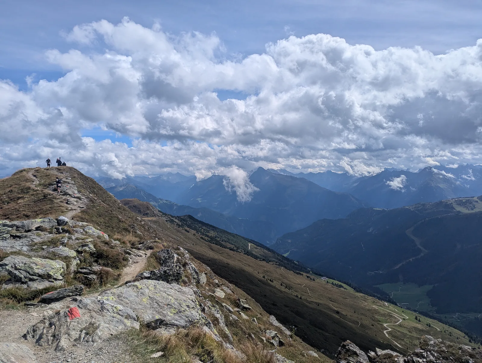
From the Rastkogel, a mountain footpath descends into the upper basin above the Sidan valley, passing above the Rastkogelhütte (around 2,130 m at km 25.5) before climbing again onto the crest of the Kreuzjoch (2,336 m). Marked with red-white-red Austrian trail blazes, the ridge path between Kreuzjoch and Melchboden (2,020 m at km 30) offers wide views across the glaciated main crest of the Zillertal Alps and down into the valley floor below.
After Melchboden, the descent down the Schwendberg slopes drops roughly 800 vertical meters through meadows and forest to the aid station near Gasthof Roswitha (1,343 m at km 37.5). From there, a final counter-climb of nearly 370 vertical meters leads back up to the Gschößwand flank (1,714 m at km 42), followed by a 1,080 m descent on winding forest trails back to the finish in Mayrhofen.
Getting there
Mayrhofen lies at the southern end of the Zillertal valley in Tyrol and is easily accessible by public transport or car.
By train, take the mainline ÖBB rail connection (between Innsbruck and Munich/Salzburg) to Jenbach station in the Inn Valley. From Jenbach, transfer directly to the narrow-gauge Zillertalbahn train, which runs every 30 minutes to the terminus at Mayrhofen im Zillertal (approximately 55min). The start and finish area at the Marktgemeindeamt / Europahaus is a 5-minute walk from the train station.
By car, take the Inntal Autobahn (A12) to the Zillertal exit (Wiesing/Jenbach) and follow the B169 Zillertal Bundesstraße south for 30 km directly into Mayrhofen.
Accommodation
We stayed at Camping Mayrhofen (Laubichl 125), located on the quiet northern edge of town right beside the forest. Arriving the evening before the run and sleeping on-site worked well for race morning logistics: the campsite is only a 15-minute walk or easy warm-up jog from the start line in the center of Mayrhofen.
Camping Mayrhofen offers level pitches with 16A electricity hookups, modern heated sanitary buildings, hot showers for post-race recovery, a small camp shop, and an on-site restaurant. Alternatively, central Mayrhofen provides a wide range of guesthouses, apartments, and hotels right next to the Ultraks event zone.
What to bring
Experienced trail runners will have their standard kit dialed in, so the main focus is adapting to the September high-alpine weather forecast:
- Windproof and waterproof jacket: essential even on sunny days for sudden showers or cold wind on the upper ridges.
- Breathable layers: September temperatures above 2,400 m can be very cold, so pack warm layers according to the forecast.
- Sufficient food and fluids: carry what you personally need between the event aid stations.
- Small first-aid kit (medipack) with basic essentials and blister care.
- Lightweight traction cleats (Grödel / microspikes): worth considering if snow or icy ground conditions are present on the upper sections.
- Foldable trekking poles for the climbs: very helpful on the 3,200 m of ascent, though on the descents they only slow you down on these hiking trails and hardly any runners use them downhill.
Tips
- Plan for a longer day on your feet than the 51.1 km distance alone might suggest: because most of the route follows mountain hiking paths (Wanderwege) with 3,206 m of ascent and descent, downhill paces are naturally slower than on gravel courses like the Karwendelmarsch.
- Use trekking poles efficiently on the long climbs (such as the opening 1,450 m ascent to Penkenjoch and the climb to Rastkogel), then stow them away for the descents where free hands and quick footwork are much faster.
- Keep some energy in reserve on the mid-race descent from Melchboden (km 30 to km 37.5) for the final 370 m climb back up to Gschößwand (km 37.5 to km 42).
- Check the high-mountain weather and snow report in the days before the start: conditions in September range from warm sunshine to freezing temperatures and snow on the Rastkogel and Kreuzjoch ridges.
- Running the loop as part of the official Mayrhofen Ultraks event is well worth it for the spaced aid stations; if you run the route independently outside race day, check the seasonal opening hours of mountain huts along the way.
Links
Mayrhofen Ultraks Zillertal: Official Event Website Mayrhofen-Hippach Tourism: Trail Running & Interactive Maps Camping Mayrhofen (Laubichl 125) Zillertalbahn: Regional Train & Bus Timetables Rastkogelhütte (DAV Mountain Hut Info)
Downloads
Full Route GPX: Mayrhofen Ultraks Zillertal (RK50) Route GPX: Mayrhofen – Penkenjoch – Rastkogel – Kreuzjoch Loop