Description
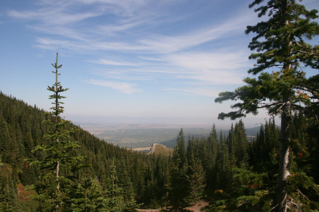
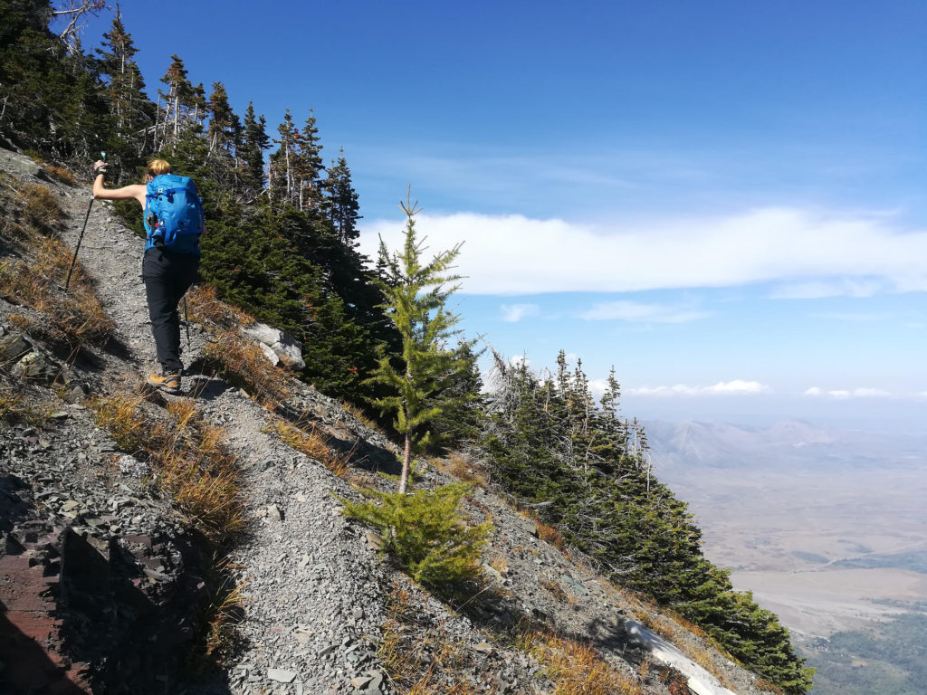
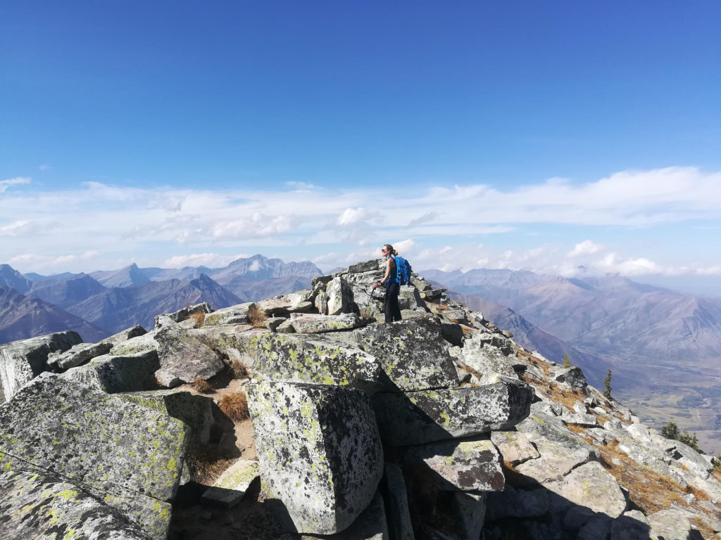
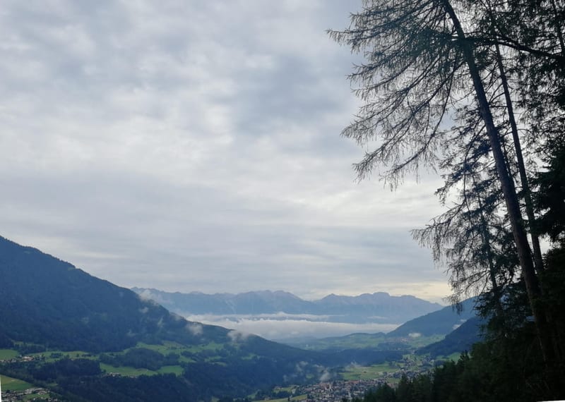
The biking trail starts at the highway and leads you through plains covered in high grass. At kilometer 6.7 the hiking Vimy Peak Route starts. The first part leads you through dense wood up to ‘Lions Head’. Then you will walk through subalpine meadows until you reach the rocky part of the mountain. Follow the faint, steep trail winding up on the right-hand side of the mountain until you reach the peak. From the top you will have beautiful views of the plains You can descent the same way or, as we did, do a loop.
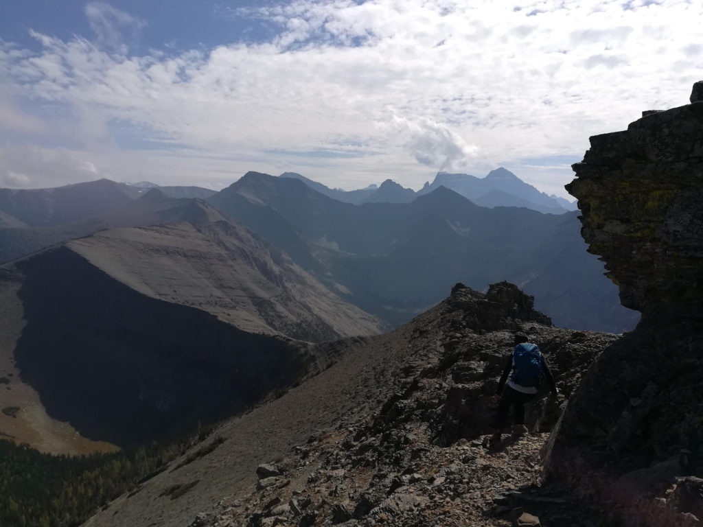
For those of you suffering from vertigo: Starting at kilometer 6.5 of the hike, some parts are exposed. The peak is broad with one side falling almost vertical. The other side, however, poses no risk. We then followed the Vimy Ridge Route for approximately 300m and then descended to the Vimy Peak Route. Following the Ridge Route can be very difficult as the right-hand side of the trail is very exposed and the left-hand side is very steep (grading >40°).
What to bring
- Bike and Hike essentials
- Bear spray - we saw no bears but a lot of scat. Be especially careful biking, where you are faster and not as easy to hear when you approach.
- Bring shoes you can bike and hike in
Tips
- You can also hike the whole trail or arrange a boat transfer from Waterton to the trail head
- From Vimy Peak you can also do a larger loop by continuing the Vimy Ridge Route for approx. 1.5km and then descending the trail on the left-hand side for approx. 1km until you reach the Vimy Peak Route (not suggested if you do suffer from vertigo)
- Watch out for foxes near the top - we saw a nice one