



Description
This 20.4 km loop on the northern edge of the Kaimai Mamaku Conservation Park links the steep canyon and gold-mining heritage of the Karangahake Gorge with the forested ridge of Mount Karangahake and the quieter trails of the Dubbo 96 Track. Packing 1,078 m of cumulative ascent and 1,072 m of descent into a varied circuit, it pairs valley bench trails and suspension bridges with steep root-and-step mountain climbs and wide views across the Hauraki Plains and Bay of Plenty coast.
The route forms the half-marathon course of the annual Trail Challenge Waihi, starting and finishing at Dickey Flat Campsite. Because the event offers both running and walking categories (alongside shorter distances), it attracts a broad mix of participants and has a very friendly, relaxed New Zealand community atmosphere, with volunteers securing junctions and providing food and drinks at aid stations along the way. Trail runners generally finish the 21K loop in 3 to 4.5 hours (with the fastest runners finishing well under 3 hours), while walkers and hikers typically take 5.5 to 7+ hours. Outside race day, every section runs on public Department of Conservation (DOC) tracks that can be run or hiked independently year-round.
The event also features a 42.2 km marathon distance for runners. Before joining this northern Gorge and Mount Karangahake circuit, marathoners complete an opening southern loop through the Waitāwheta Valley that includes river crossings of the Waitāwheta River. Most marathon finishers take around 7 to 8 hours in total, with front-runners finishing noticeably faster.
From Dickey Flat Campsite (104 m), the loop heads north along the true left bank of the Waitawheta River on the Crown Track (Waitāwheta Pipeline Track). Dropping gently along the boulder-strewn canyon (65 m at km 2.4), the path follows an old mining water-race bench and passes through a 200 m brick-and-rock tunnel where a headlamp or flashlight is essential. Below the tunnel, wooden suspension bridges connect into the Karangahake Gorge Historic Walkway and Windows Walk past the 1890s concrete ruins of the Crown, Talisman, and Woodstock stamp batteries, reaching the loop’s lowest point at 26 m near the confluence of the Waitawheta and Ohinemuri rivers (km 4.6). Because historic gold-mining tailings and tunnel sediments in the gorge contain heavy metals and arsenic, visitors should always heed current DOC signage around the tunnels and battery ruins.
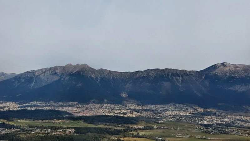
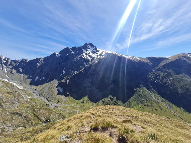
Turning south off the valley floor, the trail climbs the shaded creek bed of the Scotsman Gully Track onto the wider historic grade of the County Road Track and Number 7 Level Track (202 m at km 6.8). From there, the Karangahake Mountain Track steepens into sustained climbing over wooden steps, exposed tree roots, and ridge singletrack through regenerating podocarp, tawa, and tree-fern forest (458 m at km 10.0). At km 11.8, the track crests the Mount Karangahake summit ridge (534 m on the GPS track; 544 m trig), opening out to broad panoramas over the Hauraki Plains, the Coromandel Range to the north, the Waihi Basin, and the Bay of Plenty coastline.
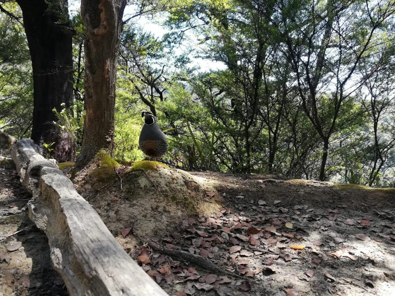
Past the summit, the northern branch of the Karangahake Mountain Track drops steadily through native bush (299 m at km 14.3) back to the County Road junction at 183 m (km 15.6). Rather than descending straight back into the busy lower gorge, the route branches southeast onto the Dubbo 96 Track, a tranquil forest singletrack contouring the eastern flanks of Mount Karangahake. A final climb over a 236 m forested saddle at km 17.5 leads down across Dubbo Stream (105 m at km 19.3) and back over the Waitawheta River swing bridge directly into Dickey Flat Campsite (110 m at km 20.4).
Getting there
Karangahake Gorge sits on State Highway 2 (SH2) halfway between Paeroa and Waihi on the North Island, roughly 1 hour 45 minutes southeast of Auckland (via SH1 and SH2), 1 hour 15 minutes from Hamilton, and 1 hour northwest of Tauranga.
To reach the Dickey Flat Campsite trailhead by vehicle, turn south off SH2 at Waikino onto Waitawheta Road and cross the one-lane bridge, then follow Kennedy Road onto Dickey Flat Road to the car park at the road end. The final stretch is narrow, winding, and unsealed, making it unsuitable for long vehicles or towed trailers. Alternatively, independent runners and hikers can start the loop from the main Karangahake Reserve car park directly off SH2 near the lower gorge suspension bridges. Regional buses also stop in nearby Paeroa and Waihi along SH2.
Accommodation
Dickey Flat Campsite is beautifully situated right at the start and finish of the loop, tucked into a quiet clearing beside the Waitawheta River right at the edge of the native forest. Operated by DOC as a standard first-come, first-served campsite, it offers grassy riverside terraces for tents, a gravel parking area near the trailhead for smaller campervans, basic toilets, picnic tables, and clear river swimming holes downstream. Tap and river water is untreated and must be boiled or carried in; check the official DOC website before your trip for current camping fees, payment details, and site rules. For roofed accommodation, motels, holiday parks, and cafes are available in nearby Waihi and Paeroa.
What to bring
- Headlamp or small flashlight: essential for safe footing through the unlit 200 m Crown Track mining tunnel and optional Windows Walk tunnels.
- Trail running shoes or sturdy hiking footwear with reliable grip for wet clay, exposed tree roots, wooden steps, and damp tunnel stone.
- Sufficient drinking water (at least 1.5 to 2 liters when self-supported, plus a reusable soft flask or cup on event day) and trail snacks, as water at Dickey Flat is untreated.
- Lightweight windproof and waterproof shell jacket, as weather along the exposed 534 m Mount Karangahake ridge changes quickly.
- Sunscreen and a hat for the open summit clearing and sunny sections of the lower gorge.
Tips
- Check current DOC Karangahake Gorge online alerts and follow on-site DOC signage before setting out: historic mining residues around the tunnels and battery sites contain elevated heavy metals and arsenic (stay on marked public tracks, do not disturb soil or relics, and wash hands before eating), and heavy rain can trigger temporary closures on the lower Crown Track (with the Windows Walk providing alternative foot access to Dickey Flat).
- During the Trail Challenge Waihi event, walk across all suspension bridges and expect brief bottlenecks on the narrow gorge paths in the first few kilometers; pace yourself early and save leg strength for the long climb from 26 m to 534 m (km 4.6 to km 11.8) and the final 236 m saddle on Dubbo 96 Track at km 17.5.
- If running the 42.2 km marathon distance, prepare footwear and blister care for wet feet from the Waitāwheta River crossings on the opening loop.
- Watch out for wasps in forested sections during the warmer summer months.
Links
Trail Challenge Waihi: Official Event Website Department of Conservation (DOC): Karangahake Gorge Department of Conservation (DOC): Dickey Flat Campsite Department of Conservation (DOC): Karangahake Windows Walk Hauraki Rail Trail: Karangahake Gorge Section